Sinking Land, Rising Water
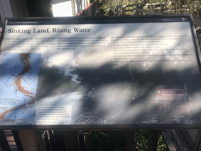
This is the Barataria Basin, built of soil washed to this area by the Mississippi River. This soil is still compacting and sinking, a process called subsidence. Most of the Barataria Preserve is less than two feet above sea level, and its subsidence rate is nearly half an inch a year.
Meanwhile, glaciers and polar ice sheets are melting and our warming climate is heating oceans everywhere, making their waters expand just like water does when you heat it on a stove. Everywhere on the planet, the oceans are a little higher every day.
The combination of the Barataria Basin's sinking land and global sea level rise means that the ocean is creeping in faster here than almost anywhere else in North America.
• Floods are becoming more frequent and lasting longer
• Coastal wetlands are disappearing as land sink and water rises
• Less land is available to buffer Gulf of Mexico storms
• Storm and flooding threats to homes, communities, and infrastructure like highways,
ports, and energy facilities are increasing
• Salt water from the Gulf is moving into freshwater wetlands, killing plants that hold
the land together
• Death of plants, animals, and microbes that cannot tolerate increased flooding or salt
water
Erected by National Park Service.
Topics. This historical marker
Location. 29° 47.023′ N, 90° 6.931′ W. Marker is in Marrero, Louisiana, in Jefferson Parish. Marker can be reached from Barataria Boulevard (State Highway 45) one mile north of Lafitte Parkway (State Highway 3144), on the left when traveling north. Touch for map. Marker is at or near this postal address: 588 Barataria Boulevard, Marrero LA 70072, United States of America. Touch for directions.
Other nearby markers. At least 8 other markers are within 9 miles of this marker, measured as the crow flies. Barataria Preserve (approx. one mile away); Poblacion de Barataria (approx. 1.7 miles away); Town of Jean Lafitte (approx. 1.8 miles away); Manila Village (approx. 3.4 miles away); Clark Cheniere (approx. 3.4 miles away); Woodlawn High School and the Struggle for Racial Equality (approx. 6 miles away); Mary Plantation (approx. 7.1 miles away); Westwego (approx. 8˝ miles away). Touch for a list and map of all markers in Marrero.
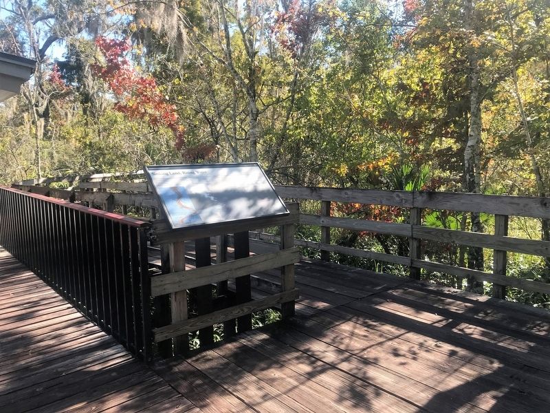
More about this marker. Located at the trailhead at the Barataria Preserve.
Credits. This page was last revised on November 11, 2017. It was originally submitted on November 11, 2017, by Cajun Scrambler of Assumption, Louisiana. This page has been viewed 223 times since then and 11 times this year. Photos: 1, 2, 3. submitted on November 11, 2017.


