Southfield in Oakland County, Michigan — The American Midwest (Great Lakes)
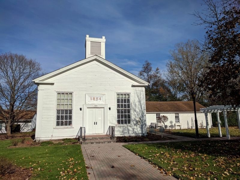
Southfield Methodist Episcopal Church
Historical Site

Photographed By Joel Seewald, November 11, 2017
1. Historical Site Marker
A part of the Burgh Historic District
Southfield Public Library website entry
Click for more information.
Southfield Public Library website entry
Click for more information.
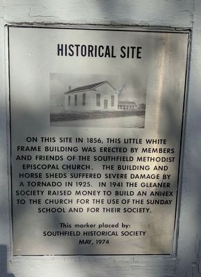
On this site in 1856, this little white frame building was erected by members and friends of the Southfield Methodist Episcopal Church. The building and horse sheds suffered severe damage by a tornado in 1925. In 1941 the Gleaner Society raised money to build an annex to the church for the use of the Sunday School and for their society.
Erected 1974 by Southfield Historical Society.
Topics. This historical marker is listed in this topic list: Churches & Religion. A significant historical year for this entry is 1856.
Location. 42° 28.814′ N, 83° 16.709′ W. Marker is in Southfield, Michigan, in Oakland County. Marker can be reached from the intersection of Civic Center Drive and Burgh Road. The building and marker are in the Burgh Historical Park. Touch for map. Marker is at or near this postal address: 26060 Civic Center Dr, Southfield MI 48033, United States of America. Touch for directions.
Other nearby markers. At least 8 other markers are within walking distance of this marker. Southfield Center (within shouting distance of this marker); Southfield Township Volunteer Fire Department (within shouting distance of this marker); Southfield Township Site (within shouting distance of this marker); Southfield Town Hall (within shouting distance of this marker); Southfield Cemetery (approx. 0.2 miles away); Historical Marker (approx. 0.2 miles away); Southfield Centre (approx. 0.3 miles away); Congregation Shaarey Zedek (approx. 0.6 miles away). Touch for a list and map of all markers in Southfield.
Credits. This page was last revised on April 20, 2022. It was originally submitted on November 13, 2017, by Joel Seewald of Madison Heights, Michigan. This page has been viewed 206 times since then and 17 times this year. Photos: 1, 2. submitted on November 13, 2017, by Joel Seewald of Madison Heights, Michigan.
