Clayton in Custer County, Idaho — The American West (Mountains)
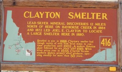
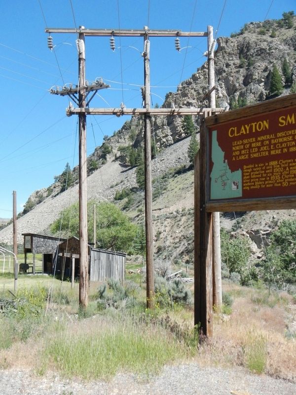
Clayton Smelter
Doubled in size in 1888, Clayton's smelter has enough variety of ores from local mines to continue production until 1902. A modern flotation plant followed for six years after 1919. When silver prices rose in 1935. Clayton became southern Idaho's primary silver producer, operating steadily for more than 50 years.
Erected by Idaho Department of Transportation. (Marker Number 416.)
Topics and series. This historical marker is listed in this topic list: Industry & Commerce. In addition, it is included in the Idaho State Historical Society series list. A significant historical year for this entry is 1880.
Location. 44° 15.524′ N, 114° 24.118′ W. Marker is in Clayton, Idaho, in Custer County. Marker is at the intersection of State Highway 75 and Kinnikinic Road, on the left when traveling west on State Highway 75. Touch for map. Marker is in this post office area: Clayton ID 83227, United States of America. Touch for directions.
Other nearby markers. At least 2 other markers are within 15 miles of this marker, measured as the crow flies. Tollgate Station (approx. 14.6 miles away); Alex Toponce (approx. 14.7 miles away).
Credits. This page was last revised on October 21, 2020. It was originally submitted on November 13, 2017, by Barry Swackhamer of Brentwood, California. This page has been viewed 312 times since then and 20 times this year. Photos: 1, 2, 3, 4, 5. submitted on November 13, 2017, by Barry Swackhamer of Brentwood, California.
