Owings House / Thomas Dye Owings
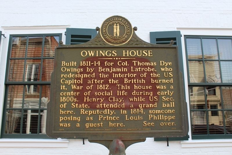
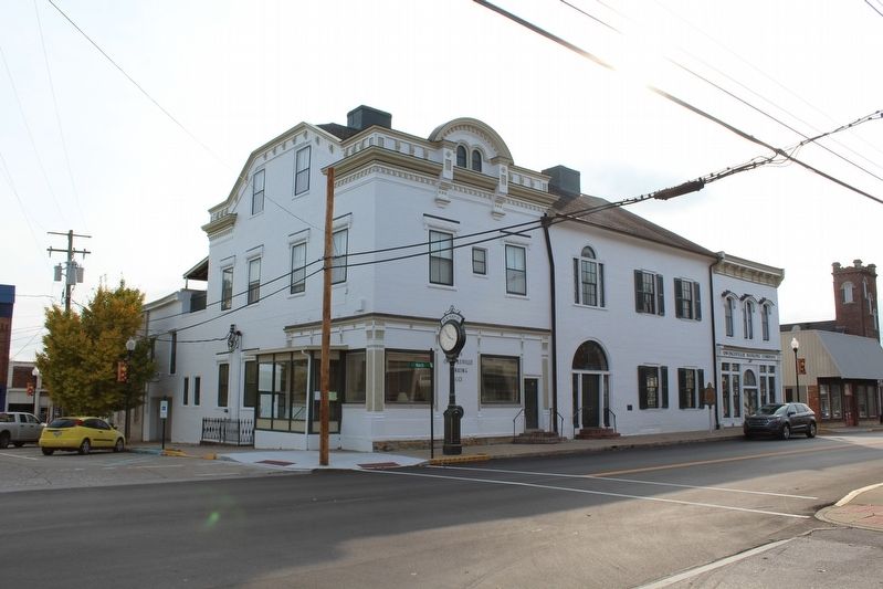
Owings House
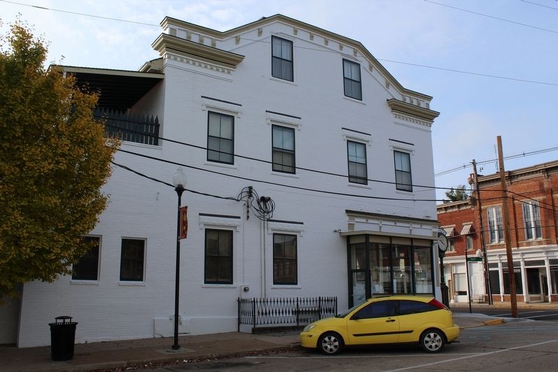
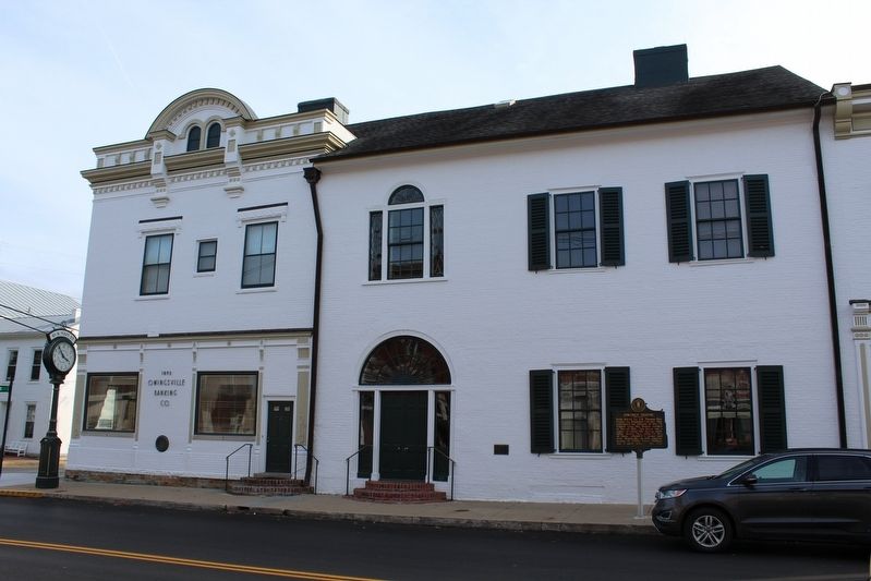
Built 1811-14 for Colonel Thomas Dye Owings by Benjamin Latrobe, who redesigned the interior of the US Capitol after the British burned it, War of 1812. This house was a center of social life during early 1800's. Henry Clay, while US Sec. of State, attended a grand ball here. Reputedly, in 1814, someone posing as Prince Louis Philippe was a guest here.
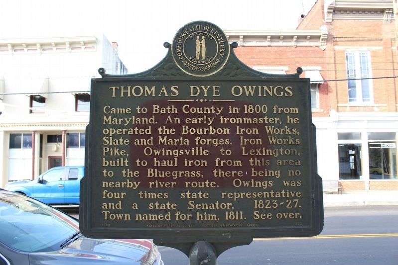
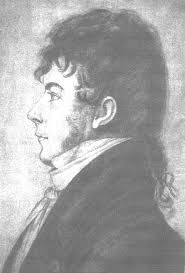
Thomas Dye Owings
Came to Bath County in 1800 from Maryland. An early ironmaster, he operated the Bourbon Iron Works, Slate and Maria forges. Iron Works Pike, Owingsville to Lexington, built to haul iron from this area to the Bluegrass, there being no nearby river route. Owings was four times a state representative and a state senator, 1823-27. Town named for him, 1811.
Erected 1968 by Kentucky Historical Society and Kentucky Department of Highways. (Marker Number 1193.)
Topics and series. This historical marker is listed in these topic lists: Architecture • Industry & Commerce • Settlements & Settlers. In addition, it is included in the Kentucky Historical Society series list. A significant historical year for this entry is 1812.
Location. 38° 8.667′ N, 83° 45.896′ W. Marker is in Owingsville, Kentucky, in Bath County. Marker
Other nearby markers. At least 8 other markers are within 9 miles of this marker, measured as the crow flies. Bath County War Memorial (within shouting distance of this marker); Capt. John “Jack” Jouett, Jr. (within shouting distance of this marker); Bath County (within shouting distance of this marker); Courthouse Burned (within shouting distance of this marker); Gen. Hood Birthplace (about 700 feet away, measured in a direct line); Bourbon Iron Works / Iron Made in Kentucky (approx. 2.3 miles away); Olympian Springs (approx. 7.6 miles away); Clear Creek Furnace / Iron Made in Kentucky (approx. 8.3 miles away). Touch for a list and map of all markers in Owingsville.
Credits. This page was last revised on June 3, 2021. It was originally submitted on November 16, 2017, by Tom Bosse of Jefferson City, Tennessee. This page has been viewed 585 times since then and 54 times this year. Photos: 1, 2, 3, 4, 5, 6. submitted on November 16, 2017, by Tom Bosse of Jefferson City, Tennessee. • Bill Pfingsten was the editor who published this page.
