
Clifton in Fairfax County, Virginia — The American South (Mid-Atlantic)
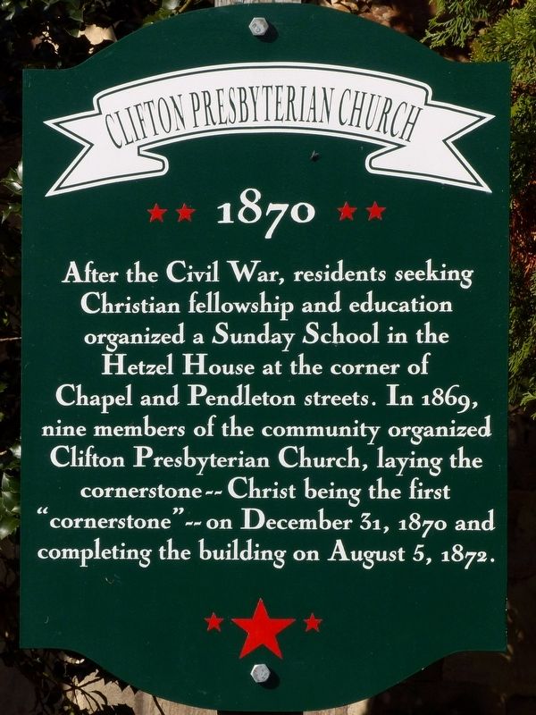
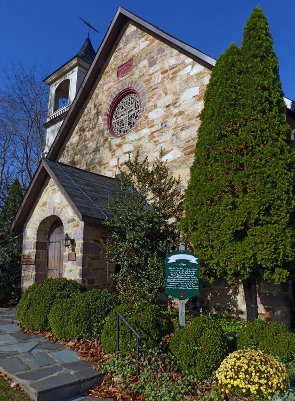
Clifton Presbyterian Church
1870
Photographed by Allen C. Browne, November 15, 2017
1. Clifton Presbyterian Church Marker
Topics. This historical marker is listed in this topic list: Religion & Religious Structures. A significant historical year for this entry is 1870.
Location. 38° 46.85′ N, 77° 23.303′ W. Marker is in Clifton, Virginia, in Fairfax County. It can be reached from Richards Lane west of Main Street. Touch for map. Marker is at or near this postal address: 12748 Richards Lane, Clifton VA 20124, United States of America. Touch for directions.

Regionally, this marker is in the Washington Metropolitan Area and in Northern Virginia. It is also in the American South, specifically in the Upper South, and in the Mid-Atlantic. Globally, it is in the North Atlantic Region, North America, the Western Hemisphere, the Western World, and the Anglosphere.
this page online
Other nearby markers. At least 8 other markers are within walking distance of this marker: Mathers House (within shouting distance of this marker); Clifton Hotel (about 300 feet away, measured in a direct line); Clifton Creek House (about 300 feet away); Barn (about 300 feet away); “Pink” House (about 300 feet away); Sangster's Station (about 400 feet away); a different marker also named Devereux Station (about 400 feet away); Peterson's Ice Cream Depot (about 400 feet away). Touch for a list and map of all markers in Clifton.
Another marker is no longer nearby. Devereux Station (was about 400 feet away but has been replaced with another marker now near it).
Also see . . . Clifton Presbyterian Church. (Submitted on November 30, 2017.)
Photographed by Allen C. Browne, November 15, 2017
2. Clifton Presbyterian Church Marker
Photographed by Allen C. Browne, November 15, 2017
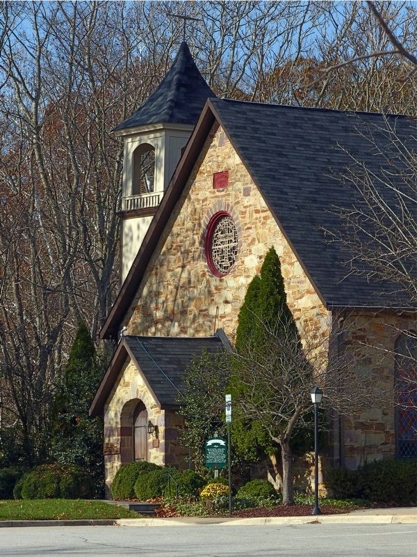
3. Clifton Presbyterian Church
Photographed by Allen C. Browne, November 15, 2017
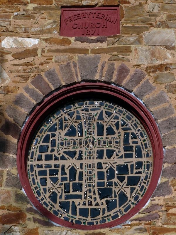
4. Jeweled Cross Window
Photographed by Allen C. Browne, November 15, 2017
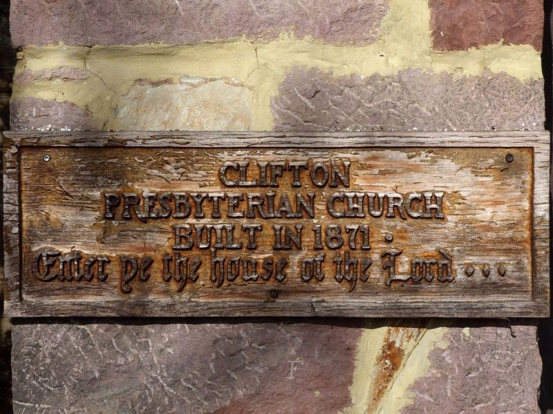
5. Clifton
Presbyterian Church
Built in 1871
Presbyterian Church
Built in 1871
Photographed by Allen C. Browne, November 15, 2017
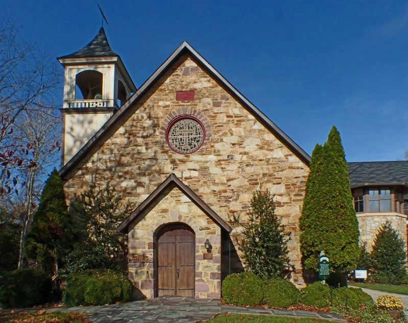
6. Clifton Presbyterian Church
Credits. This page was last revised on November 30, 2017. It was originally submitted on November 16, 2017, by Allen C. Browne of Silver Spring, Maryland. This page has been viewed 485 times since then and 18 times this year. Photos: 1, 2, 3, 4, 5, 6. submitted on November 16, 2017, by Allen C. Browne of Silver Spring, Maryland. • Bernard Fisher was the editor who published this page.
