Sharpsburg in Bath County, Kentucky — The American South (East South Central)
Henry Tureman Allen
Photographed by Tom Bosse, November 4, 2017
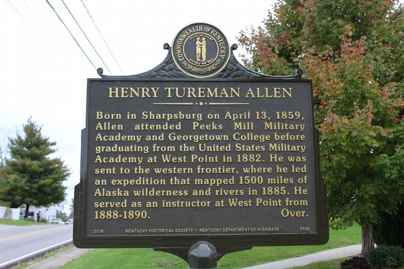
1. Henry Tureman Allen Marker
Born in Sharpsburg on April 13, 1859, Allen attended Peeks Mill Military Academy and Georgetown College before graduating from the United States Military Academy at West Point in 1882. He was sent to the western frontier, where he led an expedition that mapped 1500 miles of Alaska wilderness and rivers in 1885. He served as an instructor at West Point from 1888-1890.
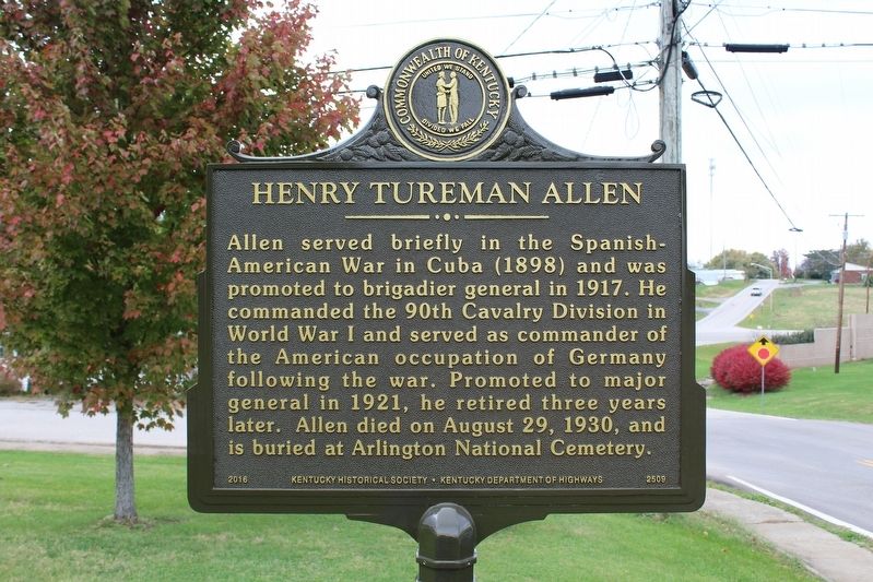
Allen served briefly in the Spanish-American War in Cuba (1898) and was promoted to brigadier general in 1917. He commanded the 90th Cavalry Division in World War I and served as commander of the American occupation of Germany following the war. Promoted to major general in 1921, he retired three years later. Allen died on August 29, 1930, and is buried at Arlington National Cemetery.
Erected 2016 by Kentucky Historical Society and Kentucky Department of Highways. (Marker Number 2509.)
Topics and series. This historical marker is listed in these topic lists: War, Spanish-American • War, World I. In addition, it is included in the Kentucky Historical Society series list. A significant historical date for this entry is April 13, 1859.
Location. 38° 12.123′ N, 83° 55.761′ W.
this page online

Regionally, this marker is in the Outer Bluegrass. It is also in the American South and specifically in the Upper South. Globally, it is in North America, the Western Hemisphere, the Western World, and the Anglosphere. Historically, it finds itself in what was once the territory of the Mississippian Culture and also the Antebellum South.
Other nearby markers. At least 8 other markers are within 10 miles of this marker, measured as the crow flies: Upper Blue Licks (approx. 5 miles away); Joe Creason (approx. 5.2 miles away); Edward Boone (approx. 5.4 miles away); Edward Boone (1740-80) (approx. 6.1 miles away); Sherburne Bridge (approx. 8.7 miles away); The Gaitskill Mound (approx. 9 miles away); Old Concord Church (approx. 9.2 miles away); Carlisle Passenger Depot (approx. 9.3 miles away).
More about this marker. Marker dedicated September 23, 2017.
Photographed by Tom Bosse, November 4, 2017
2. Henry Tureman Allen Marker reverse
Photographed by Tom Bosse, November 4, 2017
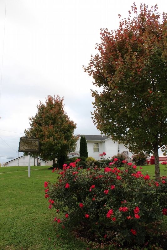
3. Henry Tureman Allen Marker
4. Henry Tureman Allen
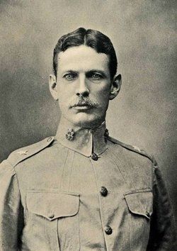
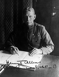
5. Henry Tureman Allen
Credits. This page was last revised on May 8, 2024. It was originally submitted on November 16, 2017, by Tom Bosse of Jefferson City, Tennessee. This page has been viewed 516 times since then and 32 times this year. Photos: 1, 2, 3, 4, 5. submitted on November 16, 2017, by Tom Bosse of Jefferson City, Tennessee. • Bill Pfingsten was the editor who published this page.
