Vicksburg National Military Park in Warren County, Mississippi — The American South (East South Central)
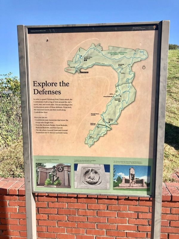
Explore the Defenses
In order to guard Vicksburg from Union attack, the Confederates built a ring of forts around the city's north, east, and south sides. You are standing at the northernmost point of those defenses. From here, the tour road travels east then south along Confederate lines.
Here you can see:
• Confederate state memorials that honor the troops who fought here
• Forts like Stockade Redan, Great Redoubt, Railroad Redoubt, and Fort Garrott
• The site where General Grant and General Pemberton met to discuss surrender terms
[Photo captions]
Bottom left: The eleven steps that lead up to the Texas Memorial symbolize the eleven seceded states.
Bottom middle: Louisiana's state memorial stands at the highest point in the park, atop Great Redoubt.
Bottom right: The Missouri Memorial's friezes show opposing regiments from this state facing off during the "War Between Brothers."
Erected by National Park Service, U.S. Department of the Interior.
Topics and series. This historical marker is listed in these topic lists: Forts and Castles • War, US Civil. In addition, it is included in the Former U.S. Presidents: #18 Ulysses S. Grant series list.
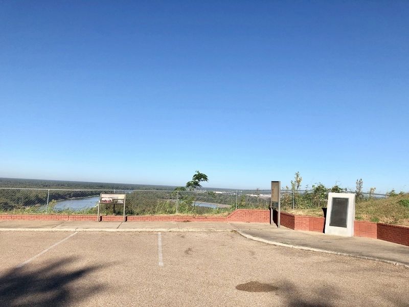
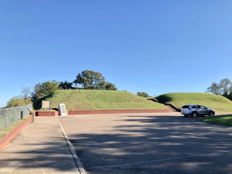
Location. 32° 22.196′ N, 90° 52.171′ W. Marker is in Vicksburg National Military Park, Mississippi, in Warren County. Marker can be reached from Confederate Avenue, 0.1 miles east of Connecting Avenue. Located at the foot of the Fort Hill redoubt. Touch for map. Marker is at or near this postal address: Confederate Avenue, Vicksburg MS 39183, United States of America. Touch for directions.
Other nearby markers. At least 8 other markers are within walking distance of this marker. Tennessee River Batteries (here, next to this marker); A Stronghold on the Bluffs (a few steps from this marker); Campaign, Siege and Defense of Vicksburg, 1863. (within shouting distance of this marker); C.S. Johnston's Company, (within shouting distance of this marker); C.S. Company B, (within shouting distance of this marker); Mississippi 14th Light Art. Battalion (about 300 feet away, measured in a direct line); C.S. Company C, (about 400 feet away); Mississippi 6th Infantry (Detachment) (about 400 feet away). Touch for a list and map of all markers in Vicksburg National Military Park.
Credits. This page was last revised on August 2, 2020. It was originally submitted on November 16, 2017, by Mark Hilton of Montgomery, Alabama. This page has been viewed 237 times since then and 10 times this year. Photos: 1, 2, 3. submitted on November 16, 2017, by Mark Hilton of Montgomery, Alabama.


