Melbourne in Brevard County, Florida — The American South (South Atlantic)
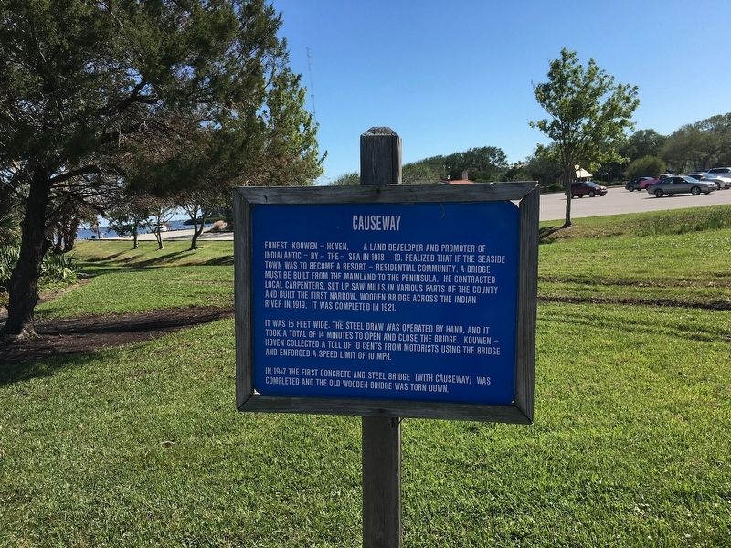
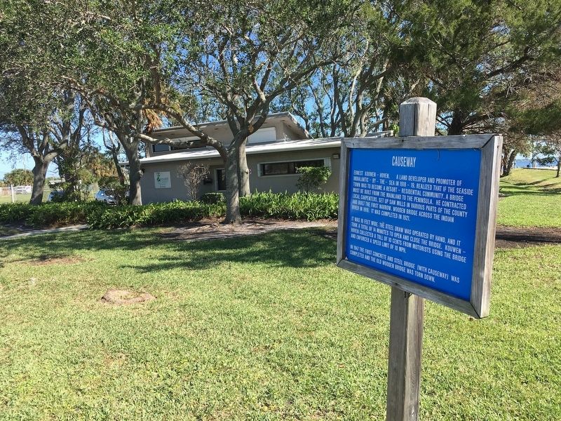
Causeway
It was 16 feet wide. The steel draw was operated by hand, and it took a total of 14 minutes to open and close the bridge. Kouwen-Hoven collected a toll of 10 cents from motorists using the bridge and enforced a speed limit of 10 MPH.
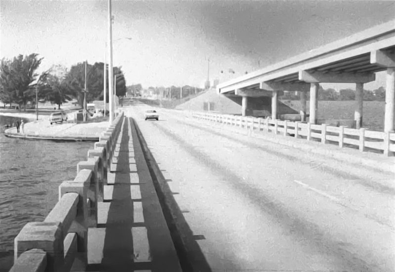
In 1947 the first concrete and steel bridge (with causeway) was completed and the old wooden bridge was torn down.
Topics. This historical marker is listed in this topic list: Bridges & Viaducts. A significant historical year for this entry is 1919.
Location. 28° 4.814′ N, 80° 36.044′ W. Marker is in Melbourne, Florida, in Brevard County. Marker is on U.S. 192, on the right when traveling east. Touch for map. Marker is in this post office area: Melbourne FL 32901, United States of America. Touch for directions.
Other nearby markers. At least 8 other markers are within walking distance of this marker. Front Street (within shouting distance of this marker); Trysting Steps and Bluff Walk (within shouting distance of this marker); Carleton Hotel - Idlewylde Hotel (about 500 feet away, measured in a direct line); First Post Office Site (about 700 feet away); The First Congregational Church of Melbourne (approx. 0.2 miles away); History of the 1900 Building (approx. 0.2 miles away); Florida East Coast Railroad (approx. ¼ mile away); Campbell Park (approx. 0.3 miles away). Touch for a list and map of all markers in Melbourne.
Additional keywords. drawbridge
Credits. This page was last revised on November 29, 2017. It was originally submitted on November 17, 2017, by Jamie Cox of Melbourne, Florida. This page has been viewed 474 times since then and 43 times this year. Photos: 1, 2, 3, 4. submitted on November 17, 2017, by Jamie Cox of Melbourne, Florida. • Andrew Ruppenstein was the editor who published this page.


