Marker Logo HMdb.org THE HISTORICAL
MARKER DATABASE
“Bite-Size Bits of Local, National, and Global History”
South Newport News , Virginia — The American South (Mid-Atlantic)
 

Consolidation


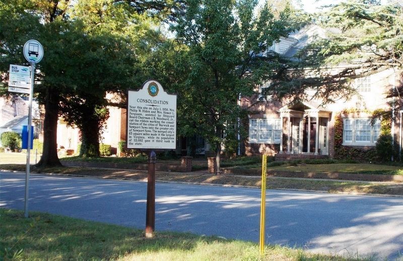
Consolidation Marker image. Click for full size.
Photographed By Cynthia L. Clark, October 31, 2017
1. Consolidation Marker
Inscription. Near this site on July 1, 1958, Mrs. Philip W. Hiden and Mrs. Homer L. Ferguson, assisted by Shipyard Board Chairman J. B. Woodward, Jr., cut the ribbon marking the consolidation of the cities of Warwick and Newport News into the greater city of Newport News. The merged city’s 65 square miles made it the largest in Virginia, while its population of 113,662 gave it third rank in the state.
 
Erected 1983 by Newport News Historical Committee.
 
Topics and series. This historical marker is listed in this topic list: Political Subdivisions. In addition, it is included in the Virginia, Corporation of Newport News series list. A significant historical date for this entry is July 1, 1958.
 
Location. 37° 0.221′ N, 76° 26.612′ W. Marker is in Newport News, Virginia. It is in South Newport News. Marker is at the intersection of Huntington Avenue (U.S. 60) and 64th Street, on the right when traveling south on Huntington Avenue. Touch for map. Marker is in this post office area: Newport News VA 23607, United States of America. Touch for directions.
 
Other nearby markers. At least 8 other markers are within 2 miles of this marker, measured as the crow flies. The Harwood House (approx. half a mile away); Camp Alexander (approx. half a mile away); Camp Hill (approx. half a mile away); Heading Out (approx. 1.1 miles away); Lake Biggins
Paid Advertisement
Click on the ad for more information.
Please report objectionable advertising to the Editor.
Click or scan to see
this page online
(approx. 1.2 miles away); Ferguson Park (approx. 1.2 miles away); Dorothy & Newport News Shipbuilding (approx. 1.2 miles away); Dorothy – Hull Number One (approx. 1.2 miles away). Touch for a list and map of all markers in Newport News.
 
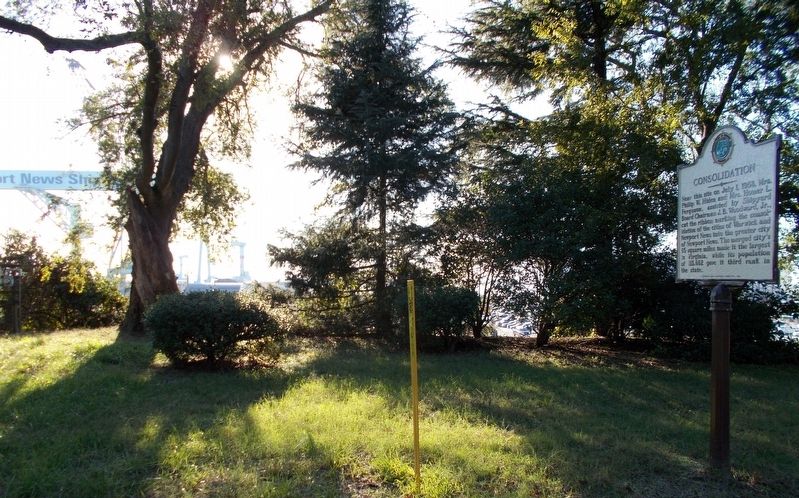
The obverse of “Consolidation” faces north. image. Click for full size.
Photographed By Cynthia L. Clark, October 31, 2017
2. The obverse of “Consolidation” faces north.
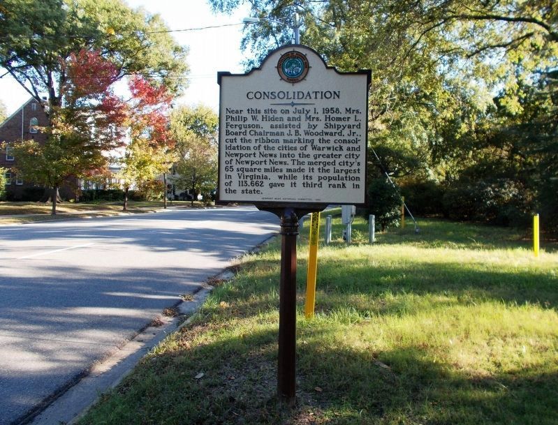
The reverse of “Consolidation” faces north. image. Click for full size.
Photographed By Cynthia L. Clark, October 31, 2017
3. The reverse of “Consolidation” faces north.
The viewer is looking at an eastward angle.
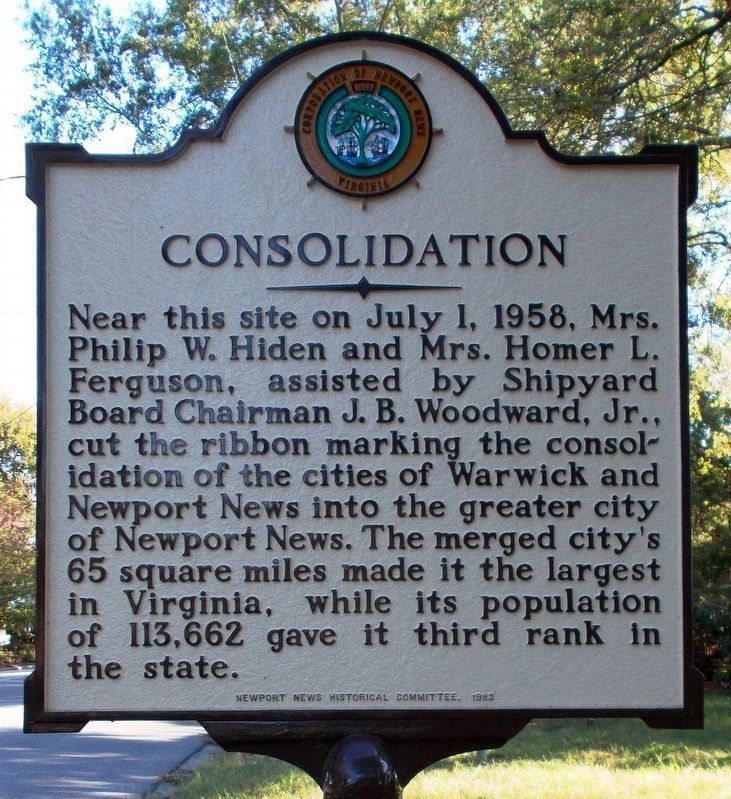
A westward view of the marker, “Consolidation.” image. Click for full size.
Photographed By Cynthia L. Clark, October 31, 2017
4. A westward view of the marker, “Consolidation.”
Pictured in the far left background is a gantry crane emblazoned with “Newport News Shipyard,” a division of Huntington Ingalls Industries.
 
 
Credits. This page was last revised on February 1, 2023. It was originally submitted on November 7, 2017, by Cynthia L. Clark of Suffolk, Virginia. This page has been viewed 258 times since then and 20 times this year. Last updated on November 18, 2017, by Cynthia L. Clark of Suffolk, Virginia. Photos:   1, 2, 3, 4. submitted on November 7, 2017, by Cynthia L. Clark of Suffolk, Virginia. • Bill Pfingsten was the editor who published this page.
Share this page.  
Share on Tumblr
m=110254

CeraNet Cloud Computing sponsors the Historical Marker Database.
This website earns income from purchases you make after using our links to Amazon.com. We appreciate your support.
Paid Advertisement
Apr. 19, 2024