Los Gatos in Santa Cruz County, California — The American West (Pacific Coastal)
Burrell School
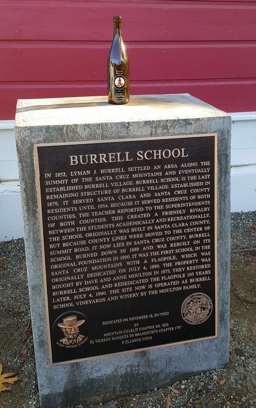
Photographed by Frank Gunshow Sanchez, November 18, 2017
1. Burrell School Marker
Erected 2017 by Mountain Charlie Chapter No. 1850 El Viceroy Marques de Branciforte 1797 E Clampus Vitus.
Topics and series. This historical marker is listed in these topic lists: Education • Settlements & Settlers. In addition, it is included in the E Clampus Vitus series list. A significant historical date for this entry is July 4, 1890.
Location. 37° 7.309′ N, 121° 55.937′ W. Marker is in Los Gatos, California, in Santa Cruz County. It can be reached from Summit Road. Marker is on the right side of the bulding. Touch for map. Marker is at or near this postal address: 24060 Summit Road, Los Gatos CA 95033, United States of America. Touch for directions.

Regionally, this marker is on the Central Coast and specifically on the Coast Ranges. It is also on the American Pacific
this page online
Other nearby markers. At least 8 other markers are within 4 miles of this marker, measured as the crow flies: Chateau Liberté (approx. 2.1 miles away); Patchen (approx. 2.9 miles away); Mountain Charlie Big Tree (approx. 3.1 miles away); Miners and Settlers (approx. 3.1 miles away); Mountain Charlie Bear Fight (approx. 3.1 miles away); Military Community (approx. 3.2 miles away); Charles Martin Winery (approx. 3.2 miles away); Glenwood (approx. 3.2 miles away). Touch for a list and map of all markers in Los Gatos.
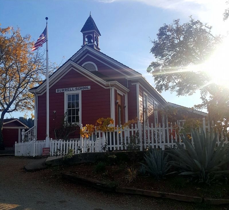
Photographed by Frank Gunshow Sanchez
2. Burrell School Building
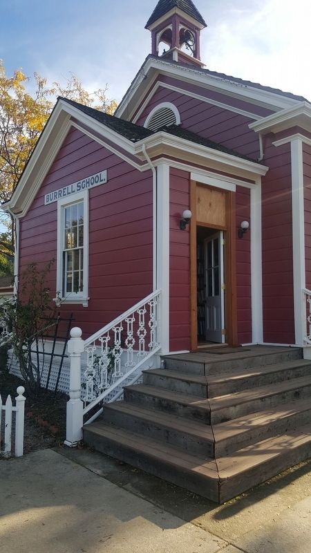
Photographed by Frank Gunshow Sanchez, November 18, 2017
3. Burrell School Building
Marker is to the right of this entrance.
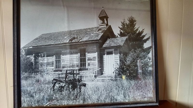
Photographed by Frank Gunshow Sanchez
4. Burrell School Building
Credits. This page was last revised on November 19, 2017. It was originally submitted on November 18, 2017, by Frank Gunshow Sanchez of Hollister, California. This page has been viewed 745 times since then and 29 times this year. Photos: 1, 2, 3, 4. submitted on November 18, 2017, by Frank Gunshow Sanchez of Hollister, California. • Syd Whittle was the editor who published this page.
