Waimea in Hawaii County, Hawaii — Hawaiian Island Archipelago (Pacific Ocean)
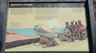
Mailekini Heiau

Photographed By Barry Swackhamer, August 27, 2017
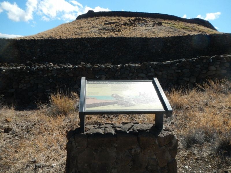
1. Mailekini Heiau Marker
Caption: (center left) From Mailekini Heiau, supporters of Kamehameha returned an 11-gun salute to the corvette Uranie in 1819. John Young, a stranded British sailor who became a trusted advisor to Kamehameha, fortified Mailekini Heiau with cannon, which were probably set on wood planking.
In the early 1800s, Kamehameha converted Mailekini Heiau into a fort, placing up to 21 cannons on the front walls. In 1823 the remains of the temple caught the attention of an English missionary, who commented that it "was nearly equal in its dimensions to that on the summit of the Hill (Pu'ukokolā), but inferior in every other respect."
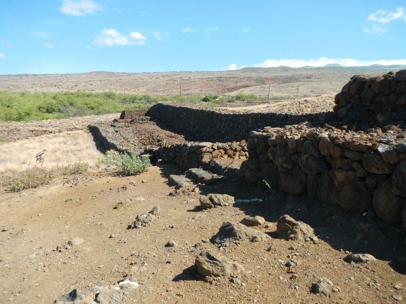
It you look closely at the back walls of Mailekini Heiau, you can see sections that are somewhat higher in color, indicating where the National Park Service preformed emergency stabilization work in the 1970s.
Erected by U.S. Department of the Interior, National Park Service.
Topics. This historical marker is listed in these topic lists: Churches & Religion • Forts and Castles.
Location. 20° 1.663′ N, 155° 49.346′ W. Marker is in Waimea, Hawaii, in Hawaii County. Marker can be reached from Kawaihae Road (Hawaii Route 270 ), on the left when traveling north. Touch for map. Marker is at or near this postal address: 62-3601 Kawaihae Road, Kamuela HI 96743, United States of America. Touch for directions.
Other nearby markers. At least 8 other markers are within 6 miles of this marker, measured as the crow flies. Pu'ukohola Heiau (within shouting distance of this marker); Hale o Kapuni Heiau (within shouting distance of this marker); Pu'ukohlā Heiau (within shouting distance of this marker); Pelekane (within shouting distance of this marker); Pu'ukoholā Heiau (about 300 feet away, measured in a direct line); Pu'ukohola Heiau National Historic Site (approx. 0.2 miles away); Camp Henry C. Drewes (approx. 2˝ miles away); Puakō Petroglyph Archaeological District (approx. 5.6 miles away). Touch for a list and map of all markers in Waimea.
More about this marker. This marker is located on the trails at Pu'ukohola Heiau National Historic Site.
Credits. This page was last revised on November 20, 2017. It was originally submitted on November 20, 2017, by Barry Swackhamer of Brentwood, California. This page has been viewed 285 times since then and 27 times this year. Photos: 1, 2, 3. submitted on November 20, 2017, by Barry Swackhamer of Brentwood, California.

