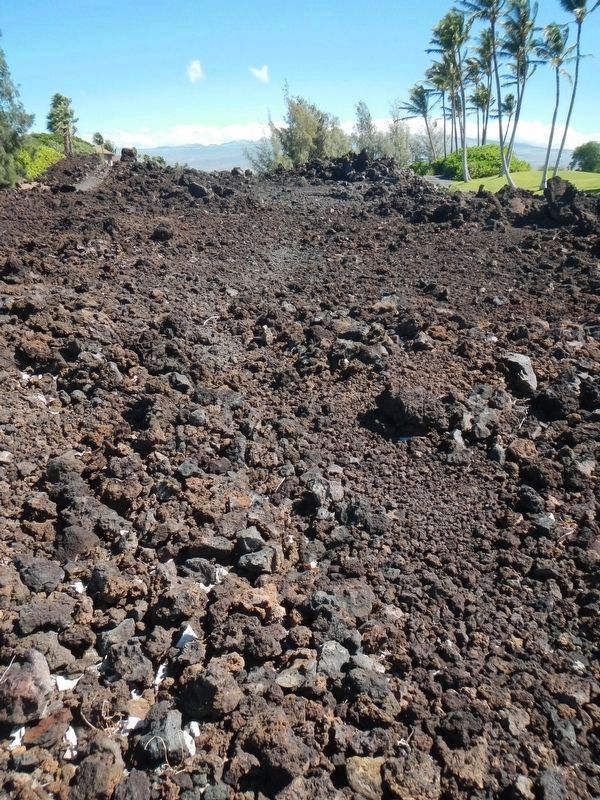
Waikoloa Village in Hawaii County, Hawaii — Hawaiian Island Archipelago (Pacific Ocean)
Ancient Foot Trail
Travelers
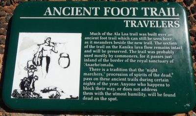
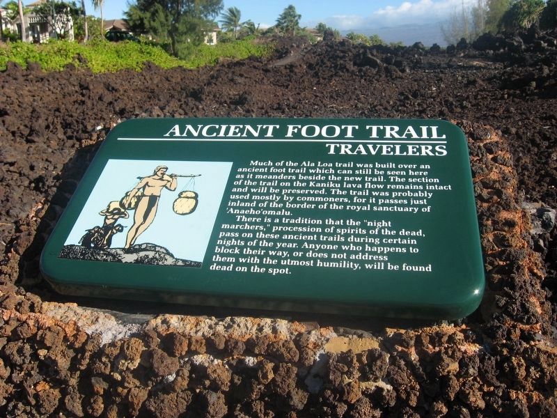
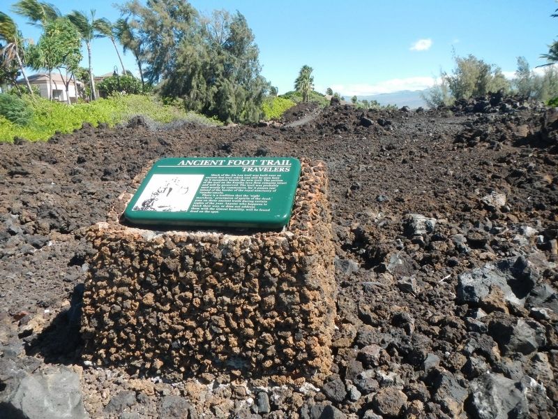
There is a tradition that the "night marchers," processions of spirits of the dead, pass on these ancient trails during certain nights of the year. Anyone who happens to block their way, or does not address them with the utmost humility, will be found dead on the spot.
Topics. This historical marker is listed in this topic list: Roads & Vehicles.
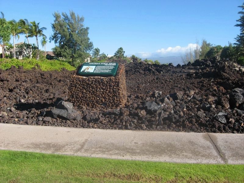
Location. 19° 55.353′ N, 155° 52.566′ W. Marker is in Waikoloa Village, Hawaii, in Hawaii County. Marker is at the intersection of Waikoloa Beach Drive and Maintenance Road, on the right when traveling west on Waikoloa Beach Drive. Touch for map. Marker is at or near this postal address: 69 550 Waikoloa Beach Drive, Waikoloa HI 96738, United States of America. Touch for directions.
Other nearby markers. At least 8 other markers are within walking distance of this marker. The Waikoloa Petroglyph Field (approx. 0.4 miles away); Kamehameha III (approx. 0.6 miles away); Kamehameha I (approx. 0.6 miles away); Kamehameha II (approx. 0.6 miles away); Kamehameha IV (approx. 0.6 miles away); Kamehameha V (approx. 0.6 miles away); William Charles Lunalilo (approx. 0.6 miles away); Queen Kalama (approx. 0.6 miles away). Touch for a list and map of all markers in Waikoloa Village.
Also see . . . Ala Kahakai Trail by the Sea - Explore the Big Island. Ala loa is the Hawaiian term for a long coastal trail around an island. Kahakai means shoreline. Ala Kahakai is the name originally given to the section of the ala loa trail from 'Upolu Point to Kailua, then later used as the name for the entire 175 mile National Historic Trail. (Submitted on November 22, 2017, by Barry Swackhamer of Brentwood, California.)
Credits. This page was last revised on January 15, 2022. It was originally submitted on November 22, 2017, by Barry Swackhamer of Brentwood, California. This page has been viewed 455 times since then and 116 times this year. Photos: 1. submitted on November 22, 2017, by Barry Swackhamer of Brentwood, California. 2. submitted on January 11, 2022, by Adam Margolis of Mission Viejo, California. 3. submitted on November 22, 2017, by Barry Swackhamer of Brentwood, California. 4. submitted on January 11, 2022, by Adam Margolis of Mission Viejo, California. 5. submitted on November 22, 2017, by Barry Swackhamer of Brentwood, California.
