Orofino in Clearwater County, Idaho — The American West (Mountains)
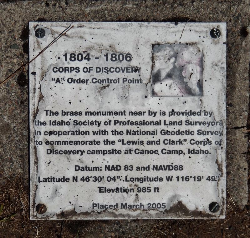
1804-1806 Corps of Discovery
"A" Order Control Point
Photographed by Cosmos Mariner, July 14, 2016
1. 1804-1806 Corps of Discovery Marker
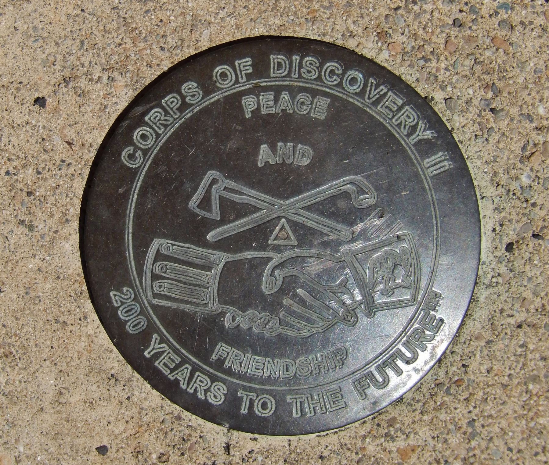
The brass monument nearby is provided by the Idaho Society of Professional Land Surveyors in cooperation with the National Geodetic Survey to commemorate the “Lewis and Clark” Corps of Discovery campsite at Canoe Camp, Idaho.
Latitude N 46 30’ 04” - Longitude W 116 19’ 49”
Elevation 985 ft
Placed March 2005
Erected 2005 by Idaho Society of Professional Land Surveyors & National Geodetic Survey.
Topics and series. This historical marker is listed in this topic list: Exploration. In addition, it is included in the Lewis & Clark Expedition series list.
Location. 46° 30.073′ N, 116° 19.827′ W. Marker is in Orofino, Idaho, in Clearwater County. It can be reached from the intersection of U.S. 12 and 140th Street, on the right when traveling west. Marker is in Lewis & Clark Canoe Camp State Park, on the north side of the highway, between the highway and the Clearwater River. Touch for map. Marker is in this post office area: Orofino ID 83544, United States of America. Touch for directions.

Regionally, this
this page online
Other nearby markers. At least 8 other markers are within walking distance of this marker: Pit House Village (within shouting distance of this marker); Ahsakha Village Site (within shouting distance of this marker); Orofino: A Fine Place (within shouting distance of this marker); Welcome to Canoe Camp (within shouting distance of this marker); Canoe Building Site (within shouting distance of this marker); Canoe Camp (within shouting distance of this marker); Navigating the Clearwater (approx. 0.9 miles away); Clearwater River Log Drives (approx. 0.9 miles away). Touch for a list and map of all markers in Orofino.
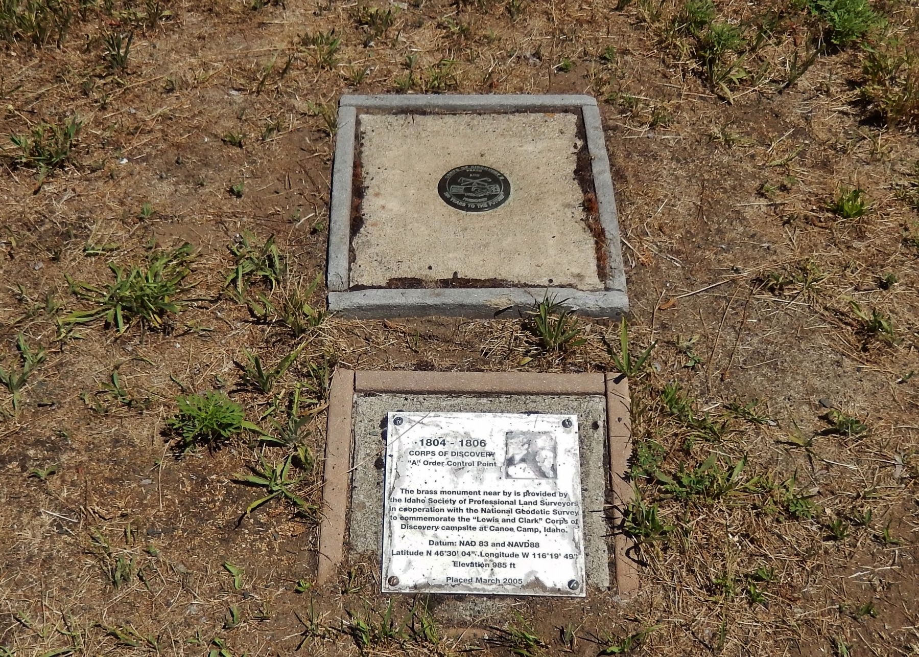
More about this marker. Plaque and subject Geodetic Survey marker are permanently mounted on cement slabs in the ground in Canoe Camp State Park
Also see . . .
1. Following in the Footsteps of Lewis & Clark.
To honor Lewis and Clark's contributions
Photographed by Cosmos Mariner, July 14, 2016
2. Corps of Discovery Geodetic Survey Marker (next to marker)
2. Map of Lewis & Clark National Geodetic Survey Markers.
Map showing the route of the Lewis and Clark Expedition from it's origins in Virginia to St. Louis and on to the Pacific Coast (Submitted on November 23, 2017, by Cosmos Mariner of Cape Canaveral, Florida.)
Photographed by Cosmos Mariner, July 14, 2016
3. 1804-1806 Corps of Discovery Marker (wide view)
Credits. This page was last revised on October 21, 2020. It was originally submitted on November 23, 2017, by Cosmos Mariner of Cape Canaveral, Florida. This page has been viewed 819 times since then and 50 times this year. Photos: 1, 2, 3. submitted on November 23, 2017, by Cosmos Mariner of Cape Canaveral, Florida. • Bill Pfingsten was the editor who published this page.
