Stone Mountain in DeKalb County, Georgia — The American South (South Atlantic)
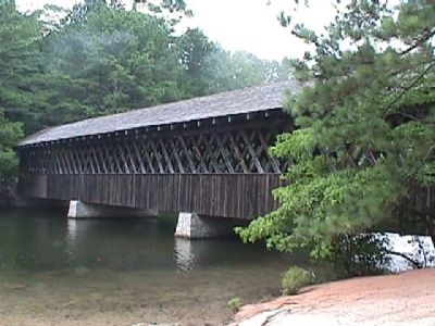
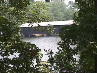
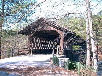
Covered Bridge
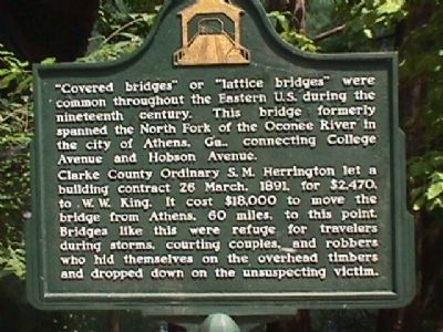
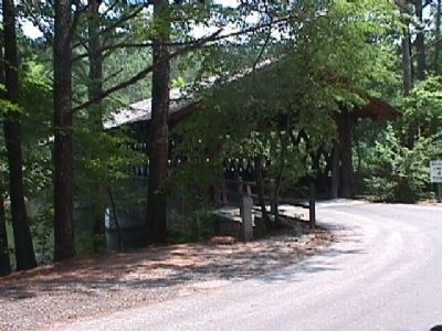
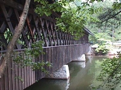
"Covered bridges" or "lattice bridges" were common throughout the Eastern U.S, during the nineteenth century. This bridge formerly spanned the North Fork of the Oconee River in the city of Athens, Ga.. connecting College Avenue and Hobson Avenue.
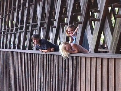
Clarke County Ordinary S.M. Herrington let a building contract 26 March, 1891, for $2,470. to W.W. King. It cost $18,000 to move the bridge from Athens, 60 miles, to this point. Bridges like this were refuge for travelers during storms, courting couples, and robbers who hid themselves on the overhead timbers and dropped down on the unsuspecting victim.
Topics and series. This historical marker is listed in this topic list: Bridges & Viaducts. In addition, it is included in the Covered Bridges series list. A significant historical date for this entry is March 26, 1891.
Location. 33° 48.207′ N, 84° 8.011′ W. Marker is in Stone Mountain, Georgia, in DeKalb County. Marker is on Covered Bridge Lane. Marker is in Stone Mountain Park. Touch for map. Marker is in this post office area: Stone Mountain GA 30083, United States of America. Touch for directions.
Other nearby markers. At least 8 other markers are within one mile of this marker, measured as the crow flies. Stone Mountain - Confederate Memorial (approx. 0.7 miles away); The Country Comes Before Me (approx. 0.7 miles away); So, What Happened Here? (approx. 0.8 miles away); Powell Academy (approx. one mile away); Powell Academy Schoolhouse (approx. one mile away); Davis House (approx. one mile away); Allen House (approx. 1.1 miles away); DR. Chapmon Powell's Cabin (approx. 1.1 miles away). Touch for a list and map of all markers in Stone Mountain.
Credits. This page was last revised on June 8, 2020. It was originally submitted on September 4, 2008, by M. L. 'Mitch' Gambrell of Taylors, South Carolina. This page has been viewed 1,784 times since then and 33 times this year. Photos: 1, 2, 3, 4, 5, 6, 7. submitted on September 4, 2008, by M. L. 'Mitch' Gambrell of Taylors, South Carolina. 8. submitted on September 5, 2008, by David Seibert of Sandy Springs, Georgia. • Kevin W. was the editor who published this page.
