Kailua-Kona in Hawaii County, Hawaii — Hawaiian Island Archipelago (Pacific Ocean)
Kamakahonu
Photographed by Barry Swackhamer, August 30, 2017
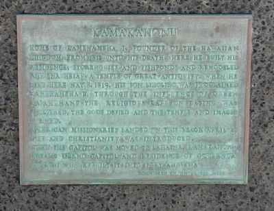
1. Kamakahonu Marker
Home of Kamehameha I, founder of the Hawaiian Kingdom, from 1812 until his death. Here he built his residence, storehouses and fishponds and remodeled 'Ahu'ena Heiau, a temple of great antiquity. When he died here May 8 1819, his son Liholiho was proclaimed Kamehameha II. Through the influence of Queen Ka'ahumanu the religious kapu on eating was abolished, the gods defied and the temple and images burned.
American missionaries landed on this beach April 4, 1820 and Christianity was introduced.
When the capitol was move to Lahina, Kamakahonu became island capitol and residence of Governor Kaukini who rebuilt it into Fort 'Ahu'ena
Erected by Commission on Historical Sites.
Topics and series. This historical marker is listed in these topic lists: Forts and Castles • Religion & Religious Structures. In addition, it is included in the National Historic Landmarks series list. A significant historical date for this entry is April 4, 1820.
Location. 19° 38.395′ N, 155° 59.856′ W. Marker is in Kailua-Kona, Hawaii, in Hawaii County. It can be reached from Palani Road near Kaahumanu Place, on the left when traveling north. Touch for map.
this page online

Regionally, this marker is on the Kona Coast and in the Volcanic Hawaii. Globally, it is in North America, in Polynesia, in the Pacific Ocean, in North Pacific, on the Pacific Rim, in the Western Hemisphere, in the Western World, and in the Anglosphere.
Other nearby markers. At least 8 other markers are within walking distance of this marker: Kamakahonu / Kailua Pier (within shouting distance of this marker); Ahu'ena Heiau (about 300 feet away, measured in a direct line); Niumalu Beach / Kailua Bay (approx. 0.2 miles away); Ki'ope Pond (approx. ¼ mile away); The First Hawaiian Christian (approx. ¼ mile away); Hulihe‘e Palace / Moku‘aikaua Church (approx. ¼ mile away); Mokuaikaua Church (approx. ¼ mile away); Hulihe‘e Palace (approx. ¼ mile away). Touch for a list and map of all markers in Kailua-Kona.
Also see . . . Kamakahonu. National Park Service website entry:
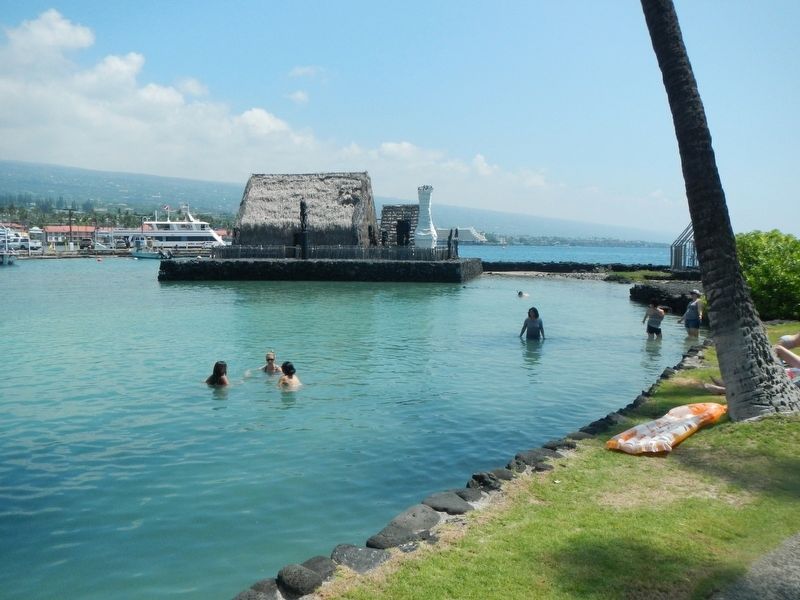
Kamakahonu, the residence of Kamehameha I, is located at the north end of Kailua Bay in Kailua-Kona on the Island of Hawai'i. At one time the residential compound included 'Ahu'ena Heiau, the personal heiau (place of worship) of Kamehameha I, thatched houses for ali'i (chiefs) and women, an enclosing wall, Hale Nana Mahina'ai (the personal retreat of Kamehameha I) work sheds, storehouses, and other buildings. After Kamehameha's death, a hale poki (mortuary house) was built next to the heiau to hold his bones.
Photographed by Barry Swackhamer, August 30, 2017
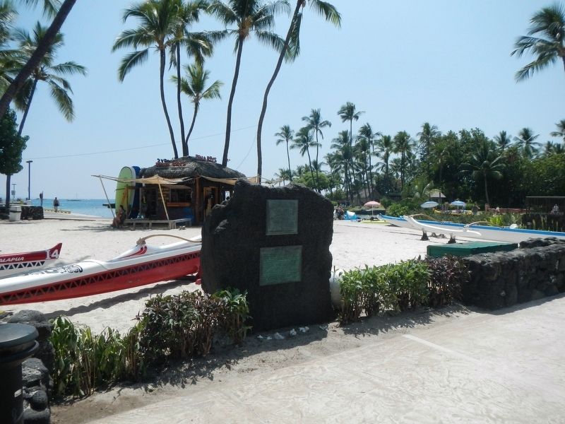
2. Kamakahonu Marker
Photographed by Barry Swackhamer, August 30, 2017
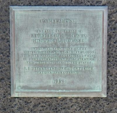
3. Kamakahonu
Registered National Historical Landmark
under the provisions of the Historic Sites Act of August 21, 1935
This site possesses exceptional value in commemorating and illustrating the history of the United States
U.S. Department of the Interior
National Park Service
1964
Photographed by Barry Swackhamer, August 30, 2017
4. Reconstruction of Kamakahonu
Credits. This page was last revised on July 13, 2021. It was originally submitted on November 25, 2017, by Barry Swackhamer of Brentwood, California. This page has been viewed 517 times since then and 25 times this year. Photos: 1, 2, 3. submitted on November 25, 2017, by Barry Swackhamer of Brentwood, California. 4. submitted on November 26, 2017, by Barry Swackhamer of Brentwood, California.
