Kodak in Sevier County, Tennessee — The American South (East South Central)
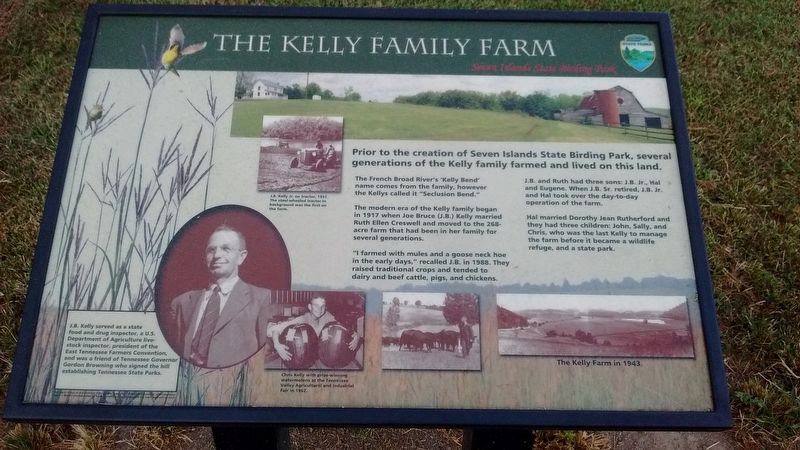
The Kelly Family Farm
Seven Islands State Birding Park
The French Broad River's "Kelly Bend" name comes from the family, however, the Kellys called it "Seclusion Bend".
The modern era of the Kelly family began in 1917 when Joe Bruce (J.B.) Kelly married Ruth Ellen Creswell and moved to the 268-acre farm that had been in her family for several generations.
"I farmed with mules and a goose neck hoe in the early days," recalled J.B. in 1988. They raised traditional crops and tended to dairy and beef cattle, pigs, and chickens.
J.B. ad Ruth had three sons: J.B. Jr., Hal and Eugene. When J.B. Sr. retired, J.B. Jr. and Hal took over the day-to-day operation of the farm.
Hal married Dorothy Jean Rutherford and they had three children: John, Sally, and Chris who was the last Kelly to manage the farm before it became a wildlife refuge, and a state park.
Erected by Tennessee State Parks.
Topics. This historical marker is listed in this topic list: Agriculture. A significant historical year for this entry is 1917.
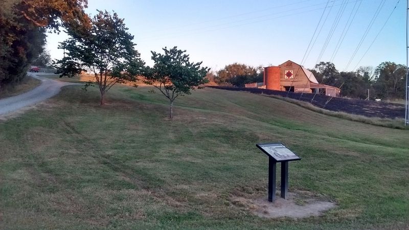
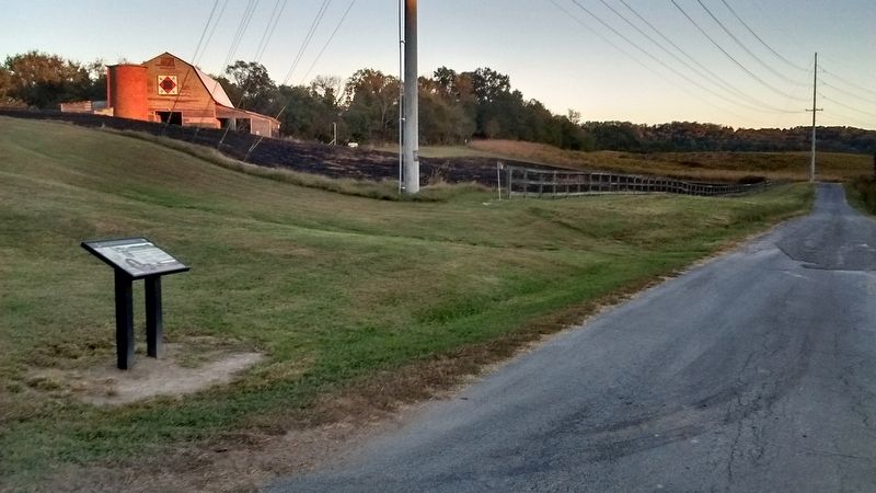
Location. 35° 56.85′ N, 83° 41.353′ W. Marker is in Kodak, Tennessee, in Sevier County. Marker is on Kelly Lane, on the left when traveling south. This marker is located with the Seven Islands State Birding Park. Touch for map. Marker is in this post office area: Kodak TN 37764, United States of America. Touch for directions.
Other nearby markers. At least 8 other markers are within 4 miles of this marker, measured as the crow flies. Steamboat Times on the French Broad (approx. 0.7 miles away); Seven Islands Methodist Church (approx. 0.9 miles away); Wheatlands (approx. 2.3 miles away); Battle of Boyd's Creek (approx. 2.4 miles away); Manifold Station (approx. 2.6 miles away); The Great Indian Warpath (approx. 2.8 miles away); Major Hugh Henry (approx. 3.2 miles away); Treaty of Dumplin Creek (approx. 3.8 miles away). Touch for a list and map of all markers in Kodak.
Also see . . . Seven Islands State Birding Park. (Submitted on October 24, 2017, by Tom Bosse of Jefferson City, Tennessee.)
Credits. This page was last revised on November 30, 2017. It was originally submitted on October 24, 2017, by Tom Bosse of Jefferson City, Tennessee. This page has been viewed 1,306 times since then and 92 times this year. Last updated on November 25, 2017, by Tom Bosse of Jefferson City, Tennessee. Photos: 1, 2, 3. submitted on October 24, 2017, by Tom Bosse of Jefferson City, Tennessee. • Bill Pfingsten was the editor who published this page.


