Pineville in Rapides Parish, Louisiana — The American South (West South Central)
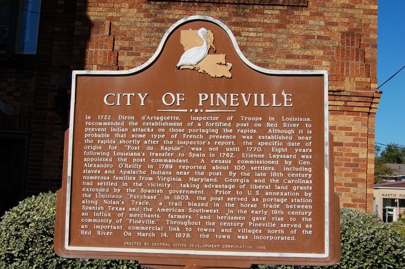
City of Pineville
In 1722 Diron d'Artaguette, Inspector of Troops in Louisiana, recommended the establishment of a fortified post on Red River to prevent Indian attacks on those portaging the rapids. Although it is probably that some type of French presence was established near the rapids shortly after the Inspector's report, the specific date of origin for "Post du Rapide" was not until 1770. Eight years following Louisiana's transfer to Spain in 1762, Etienne Layssard was appointed the post commandant. A census commissioned by Gen. Alexandro O'Reilly in 1769 reported about 100 settlers, including slaves and Apalache Indians near the post. By the late 18th century numerous families from Virginia, Maryland, Georgia and the Carolinas had settled in the vicinity, taking advantage of liberal land grants extended by the Spanish government. Prior to U.S. annexation by the Louisiana "purchase" in 1803, the post served as portage station along Nolan's Trace, a trail blazed in the horse trade between Spanish Texas and the American Southwest. In the early 19th century an influx of merchants, farmers, and herdsmen gave rise to the community of "Pineville." Throughout the century Pineville served as an important commercial link to towns and villages north of the Red River. On March 14, 1878, the town was incorporated.
Erected 1988 by Central Cities Development Corporation.
Topics. This historical marker is listed in this topic list: Settlements & Settlers. A significant historical date for this entry is March 14, 1878.
Location. 31° 19.336′ N, 92° 26.072′ W. Marker is in Pineville, Louisiana, in Rapides Parish. Marker is at the intersection of Main Street (Business U.S. 165) and Shamrock Street (State Road 1250) on Main Street. Touch for map. Marker is at or near this postal address: 731 Main Street, Pineville LA 71360, United States of America. Touch for directions.
Other nearby markers. At least 8 other markers are within walking distance of this marker. Main Street (here, next to this marker); Intersection of Shamrock and Main Streets (within shouting distance of this marker); 700 Block Main Street (about 300 feet away, measured in a direct line); 835 Main Street (about 500 feet away); Alexandria National Cemetery (about 500 feet away); 600 Block Main Street West (about 600 feet away); 800 Block Main Street (about 600 feet away); 600 Block Main Street East (about 600 feet away). Touch for a list and map of all markers in Pineville.
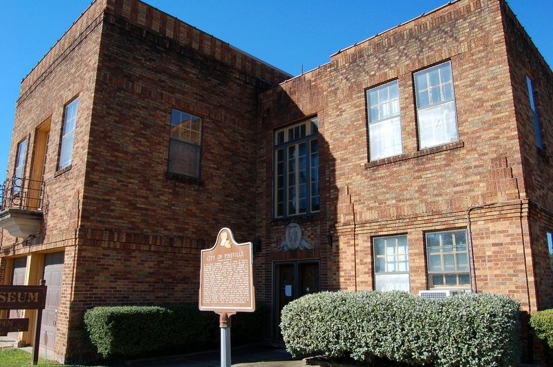
More about this marker. Located at the entrance of the Pineville Old Town Hall Museum.
Credits. This page was last revised on November 23, 2023. It was originally submitted on November 25, 2017, by Cajun Scrambler of Assumption, Louisiana. This page has been viewed 282 times since then and 23 times this year. Photos: 1, 2. submitted on November 25, 2017.

