Site of Lafayette
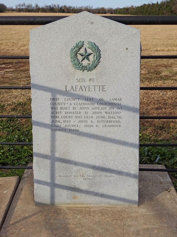
Erected by the State of Texas
1936
Erected 1936 by State of Texas. (Marker Number 8203.)
Topics and series. This historical marker is listed in this topic list: Settlements & Settlers. In addition, it is included in the Texas 1936 Centennial Markers and Monuments series list.
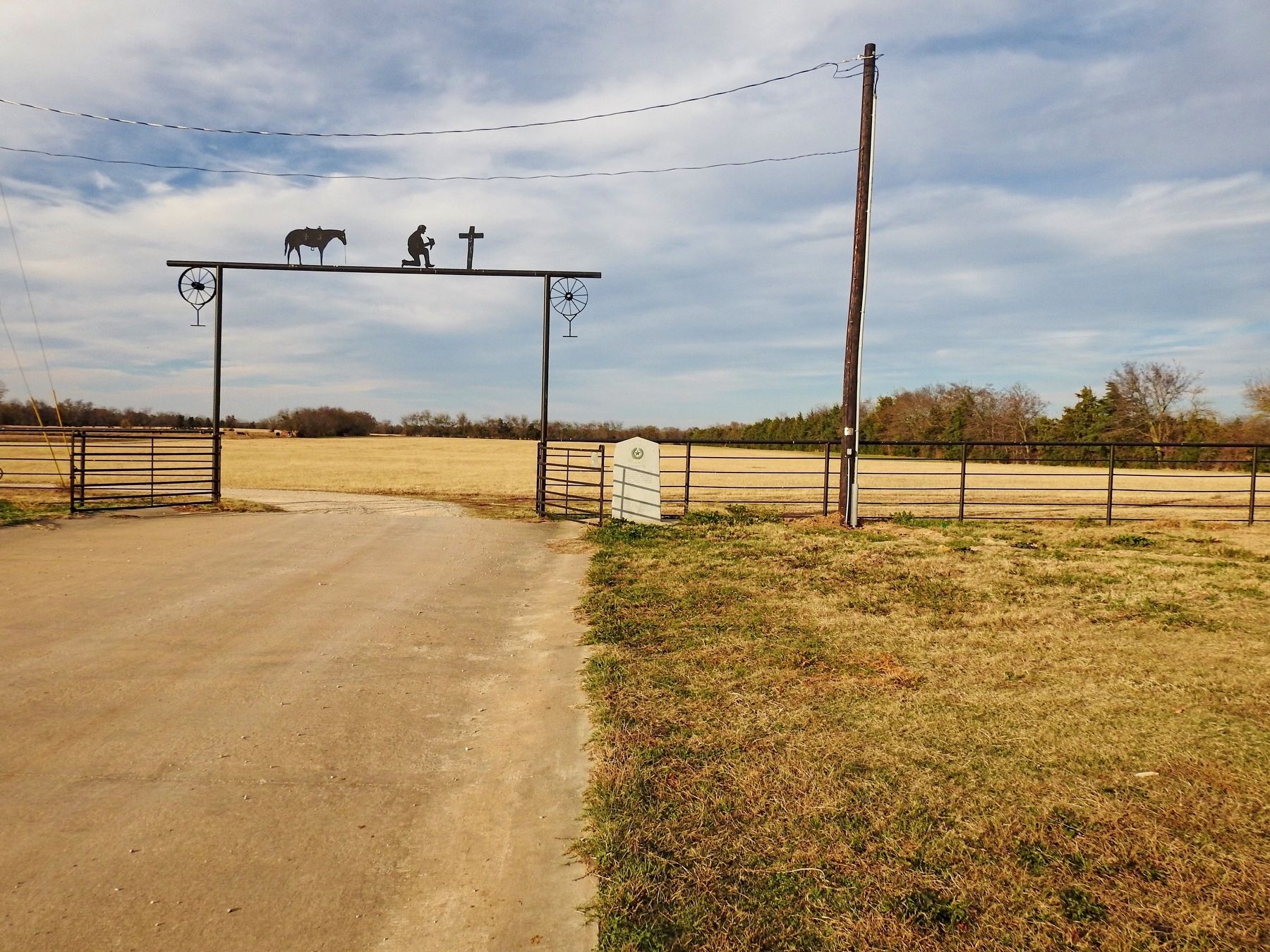
Location. 33° 41.137′ N, 95° 35.032′ W. Marker is in Paris, Texas, in Lamar County. It is on Yoder Rd. north of Farm to Market Road 79, on the right when traveling north. Touch for map. Marker is in this post office area: Paris TX 75460, United States of America. Touch for directions.
Regionally, this marker is in the American South and in the Piney Woods. Globally, it is in North America, a Gulf of Mexico state, the Western Hemisphere, the Western World, and the Anglosphere. Historically, it finds itself in what was once New Spain, the Republic
this page online
Other nearby markers. At least 8 other markers are within 3 miles of this marker, measured as the crow flies: Old Cemetery of Paris (approx. 1.9 miles away); Central National Road (approx. 2 miles away); Lamar County (approx. 2 miles away); Sanitarium of Paris / McCuistion Community Hospital (approx. 2 miles away); Union Station (approx. 2 miles away); Paris (approx. 2.1 miles away); St. Paul Baptist Church (approx. 2.2 miles away); Jefferies Wagon Yard (approx. 2.2 miles away). Touch for a list and map of all markers in Paris.
Credits. This page was last revised on November 29, 2017. It was originally submitted on November 26, 2017, by QuesterMark of Fort Worth, Texas. This page has been viewed 897 times since then and 90 times this year. Photos: 1, 2. submitted on November 26, 2017, by QuesterMark of Fort Worth, Texas. • Andrew Ruppenstein was the editor who published this page.
