Wheaton in Silver Spring in Montgomery County, Maryland — The American Northeast (Mid-Atlantic)
Mica Mine Ruins
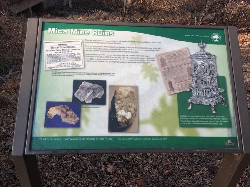
The mine was located in a wooded area on the western bank of the Northwest Branch, which is now adjacent to the Springbrook Forest subdivision.
Mica is a silver-colored, heat resistant rock that can be split into thin transparent sheets. In the late 19th and early 20th centuries, mica was used to make windows in cast-iron heating stoves. Mica was also used for lamp shades, electrical equipment, and cosmetics.
When workable quantities of mica were found here, the Gilmore Mica Mines began operations at this site in 1882. The mine, with a 50-foot vertical shaft, ceased operation in the 1920s, and had largely disappeared by the time the subdivision was built. Look closely at the ground, however, and you might still be able to see traces of shiny mica rock.
"Drink in the beauty ... and wonder at the meaning of what you see." -- Rachel Carson, The Sense of Wonder (posthumously 1965)
Erected by Montgomery Parks.
Topics. This historical marker is listed in these topic lists: Industry & Commerce • Natural Resources • Waterways & Vessels. A significant historical year for this entry is 1882.
Location. 39° 3.704′ N, 77° 1.565′ W. Marker is in Silver Spring, Maryland, in Montgomery County. It is in Wheaton. Marker is on Kemp Mill Road south of Glenallen Avenue, on the right when traveling north. On the Grounds of the Northwest Branch Trail just east of Kemp Mill Road. Touch for map. Marker is at or near this postal address: 12439 Kemp Mill Rd, Silver Spring MD 20902, United States of America. Touch for directions.
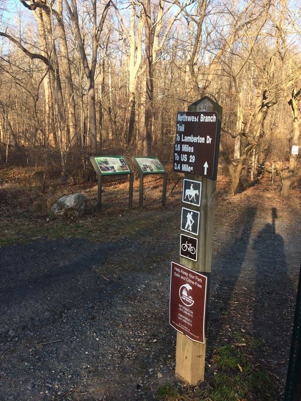
Other nearby markers. At least 8 other markers are within walking distance of this marker. Prehistoric Rock Shelters (here, next to this marker); Kemp Mill (approx. 0.3 miles away); One Tree's Life (approx. 0.4 miles away); The Harper Family Homestead (approx. 0.4 miles away); What Happened Here? (approx. half a mile away); Conservatory (approx. half a mile away); Formal Gardens (approx. half a mile away); The Tree Trust (approx. half a mile away). Touch for a list and map of all markers in Silver Spring.
Credits. This page was last revised on February 21, 2023. It was originally submitted on November 26, 2017, by Devry Becker Jones of Washington, District of Columbia. This page has been viewed 1,005 times since then and 105 times this year. Photos: 1, 2. submitted on November 26, 2017, by Devry Becker Jones of Washington, District of Columbia. • Bill Pfingsten was the editor who published this page.

