Southwestern Sacramento in Sacramento County, California — The American West (Pacific Coastal)
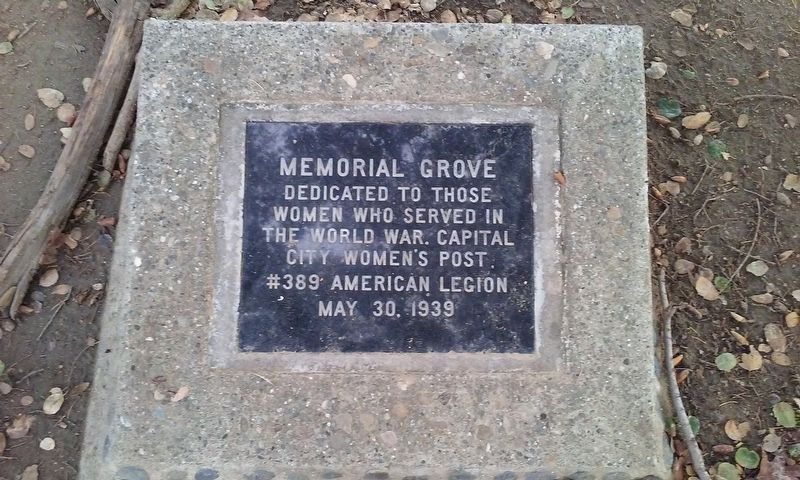
Memorial Grove
Dedicated to those
women who served in
the World War. Capital
City Women's Post
#389 American Legion
May 30, 1939
Erected 1939 by Capital City Women's Post #389 American Legion.
Topics. This memorial is listed in these topic lists: War, World I • Women.
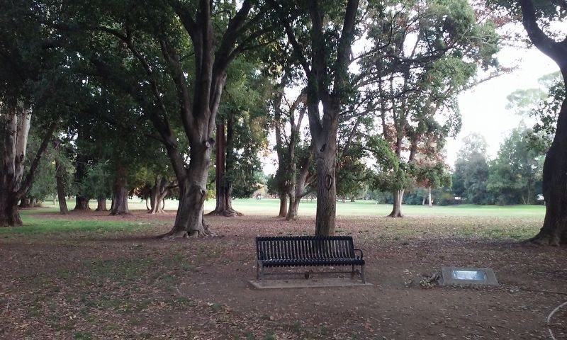
Location. 38° 32.508′ N, 121° 29.802′ W. Marker is in Sacramento, California, in Sacramento County. It is in Southwestern Sacramento. Memorial is on Park Road, on the left when traveling west. Marker is located in William Land Park, northeast of the Sacramento Zoo. Touch for map. Marker is in this post office area: Sacramento CA 95822, United States of America. Touch for directions.
Other nearby markers. At least 8 other markers are within 2 miles of this marker, measured as the crow flies. Sacramento County WW I Veterans Memorial (approx. 0.4 miles away); Spencer Hoofed Animal Complex (approx. half a mile away); Camp Union Sutterville (approx. half a mile away); Sutterville Brewery (approx. half a mile away); Petrovich Family Playfields (approx. 0.8 miles away); 4th Avenue / Wayne Hultgren Light Rail Station (approx. 0.8 miles away); U.S.S. Maine (approx. 1.3 miles away); New Helvetia Cemetery (approx. 1.4 miles away). Touch for a list and map of all markers in Sacramento.
Regarding Memorial Grove. This marker, honoring women who served in World War I, was dedicated just two and a half years before the United States entered World War II.
Credits. This page was last revised on February 7, 2023. It was originally submitted on November 26, 2017, by Lane Parker of San Francisco, California. This page has been viewed 291 times since then and 15 times this year. Photos: 1, 2. submitted on November 26, 2017, by Lane Parker of San Francisco, California. • Andrew Ruppenstein was the editor who published this page.

