Lowman in Boise County, Idaho — The American West (Mountains)
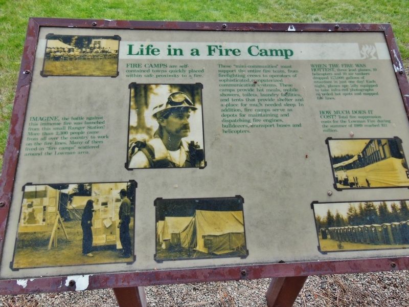
Life in a Fire Camp
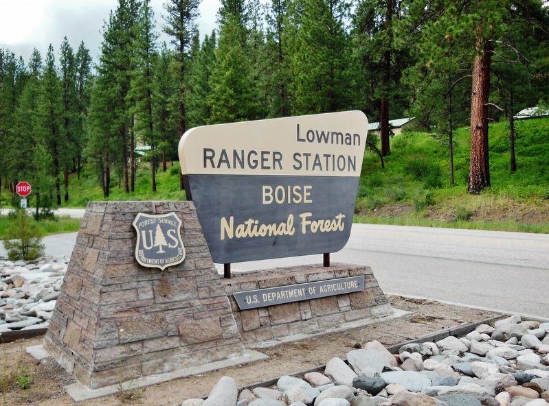
Imagine, the battle against this immense fire was launched from this small Ranger Station! More than 2,300 people came from all over the country to work on the fire lines. Many of them lived in “fire camps” scattered around the Lowman area.
Fire Camps are self-contained towns quickly placed within safe proximity to a fire. These “mini-communities” must support the entire fire team, from firefighting crews to operators of sophisticated, computerized communication systems. These camps provide hot meals, mobile showers, toilets, laundry facilities, and tents that provide shelter and a place for much needed sleep. In addition, fire camps serve as depots for maintaining and dispatching fire engines, bulldozers, transport buses and helicopters.
When the fire was hottest, three lead planes, 10 helicopters and 10 air tankers dropped 125,000 gallons of retardant in just one day! Each night, planes specially equipped to take infra-red photographs recorded hot spots and mapped fire lines.
How much does it cost? Total fire suppression costs for the Lowman Fire during the summer of 1989 reached $11 million.
Erected by Forest Service, U.S. Department of Agriculture.
Topics. This historical marker is listed in this topic list: Disasters. A significant historical date for this entry is July 29, 1989.
Location. 44° 4.584′ N, 115° 35.869′ W. Marker is in Lowman, Idaho, in Boise County. Marker is at the intersection of Ponderosa Pine Scenic Route (State Highway 21), on the right when traveling east on Ponderosa Pine Scenic Route. Marker is located in front of the Lowman Ranger Station & District Office. Touch for map. Marker is in this post office area: Lowman ID 83637, United States of America. Touch for directions.
Other nearby markers. At least 5 other markers are within 10 miles of this marker, measured as the crow flies. A Community in Trouble (here, next to this marker); Lowman (approx. ¾ mile away); Emma Edwards (approx. 3.3 miles away); It Happened One Summer (approx. 3.7 miles away); CCC Shapes the Payette Drainage (approx. 9.2 miles away).
Related markers. Click here for a list of markers that are related to this marker.
Credits. This page was last revised on October 19, 2020. It was originally submitted on November 28, 2017, by Cosmos Mariner of Cape Canaveral, Florida. This page has been viewed 234 times since then and 9 times this year. Photos: 1, 2. submitted on November 28, 2017, by Cosmos Mariner of Cape Canaveral, Florida. • Bill Pfingsten was the editor who published this page.

