Near Fontana Village in Graham County, North Carolina — The American South (South Atlantic)
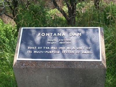
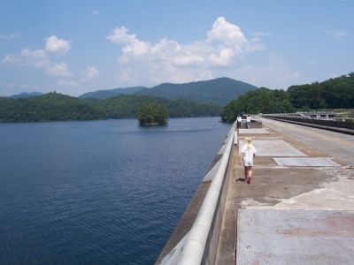
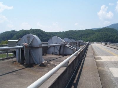
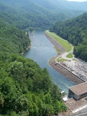
Fontana Dam
height 480 feet
Built by TVA 1942-1945 as a unit of its multi-purpose system of dams.
Topics. This historical marker is listed in these topic lists: Charity & Public Work • Waterways & Vessels. A significant historical year for this entry is 1942.
Location. 35° 27.115′ N, 83° 48.09′ W. Marker is near Fontana Village, North Carolina, in Graham County. Marker is on State Highway 1245, 1.2 miles north of Fontana Road (State Highway 28). Touch for map. Marker is in this post office area: Robbinsville NC 28771, United States of America. Touch for directions.
Other nearby markers. At least 8 other markers are within 6 miles of this marker, measured as the crow flies. Fontana Dam: (within shouting distance of this marker); Appalachian Trail (within shouting distance of this marker); Fontana's First Stewards: (about 300 feet away, measured in a direct line); Welcome to Fontana Dam (approx. ¼ mile away); The TVA System of Multi-purpose Dams (approx. ¼ mile away); a different marker also named Appalachian Trail (approx. 0.3 miles away); a different marker also named Fontana Dam (approx. ¾ mile away); Shaping the Flow of the Cheoah River (approx. 5.7 miles away). Touch for a list and map of all markers in Fontana Village.
Additional commentary.
1. Fontana Lake and Dam
Excerpt from http://www.westernncattractions.com/fontana.htm (see provided link).
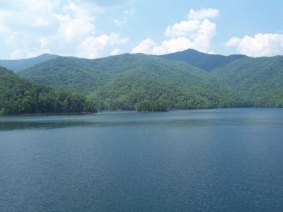
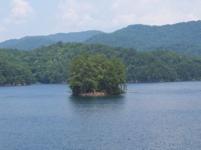
The highest dam east of the Rockies is located just 35 miles West of Bryson City, North Carolina. Towering 480 feet in height this dam backs water for 30 miles and provides a major source of energy for the Tennessee Valley. With 11,685 acres of water surface Fontana provides great recreational water activities such as boating, knee-boarding, water-skiing and some of the best Pike and Bass Fishing anywhere.
— Submitted September 5, 2008, by M. L. 'Mitch' Gambrell of Taylors, South Carolina.
Credits. This page was last revised on November 17, 2020. It was originally submitted on September 5, 2008, by M. L. 'Mitch' Gambrell of Taylors, South Carolina. This page has been viewed 2,331 times since then and 52 times this year. Photos: 1, 2, 3, 4, 5, 6, 7, 8, 9, 10. submitted on September 5, 2008, by M. L. 'Mitch' Gambrell of Taylors, South Carolina. • Kevin W. was the editor who published this page.
