Silas in Choctaw County, Alabama — The American South (East South Central)
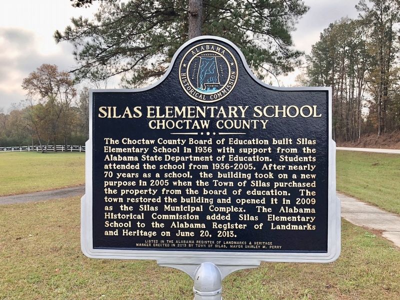
Silas Elementary School
Choctaw County
Photographed by Mark Hilton, December 2, 2017
1. Silas Elementary School Marker
Erected 2013 by Town of Silas, Mayor Shirley M. Perry.
Topics. This historical marker is listed in these topic lists: Education • Government & Politics • Landmarks. A significant historical date for this entry is June 20, 2013.
Location. 31° 46.076′ N, 88° 19.698′ W. Marker is in Silas, Alabama, in Choctaw County. It is at the intersection of Indian Way (County Road 5) and State Route 17, on the right when traveling east on Indian Way. Touch for map. Marker is at or near this postal address: 130 Indian Way, Silas AL
this page online

Regionally, this marker is in the American South, specifically in the Deep South, and in the Black Belt. Globally, it is in North America, a Gulf of Mexico state, the Western Hemisphere, the Western World, and the Anglosphere. Historically, it finds itself in what was once New Spain, the territory of the Mississippian Culture, one of the Confederate States of America, and the Antebellum South.
Other nearby markers. At least 8 other markers are within 13 miles of this marker, measured as the crow flies: First Oil Well In Alabama (approx. 7.1 miles away); Sims Cemetery (approx. 7.3 miles away); Indian Trail Crossing (approx. 7.7 miles away); First Oil Well in Alabama (approx. 7.7 miles away); Judge Harry Toulmin (approx. 8.4 miles away); Healing Springs (approx. 9.4 miles away); Little Place Cemetery / Mt. Pleasant Baptist Church Womack Hill Community (approx. 11.6 miles away); West Bend (approx. 12.2 miles away).
Also see . . . Silas Elementary School at Silas, AL - by Rural Southwest Alabama. (Submitted on December 3, 2017, by Mark Hilton of Montgomery, Alabama.)
Photographed by Mark Hilton, December 2, 2017
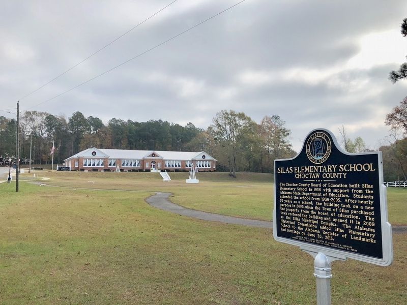
2. View of former Silas Elementary School, in far background.
Photographed by Mark Hilton, December 2, 2017
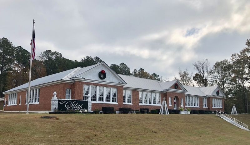
3. View of the Silas Municipal Complex.
Credits. This page was last revised on December 3, 2017. It was originally submitted on December 3, 2017, by Mark Hilton of Montgomery, Alabama. This page has been viewed 872 times since then and 44 times this year. Photos: 1, 2, 3. submitted on December 3, 2017, by Mark Hilton of Montgomery, Alabama.
