Near Brandon in Rankin County, Mississippi — The American South (East South Central)
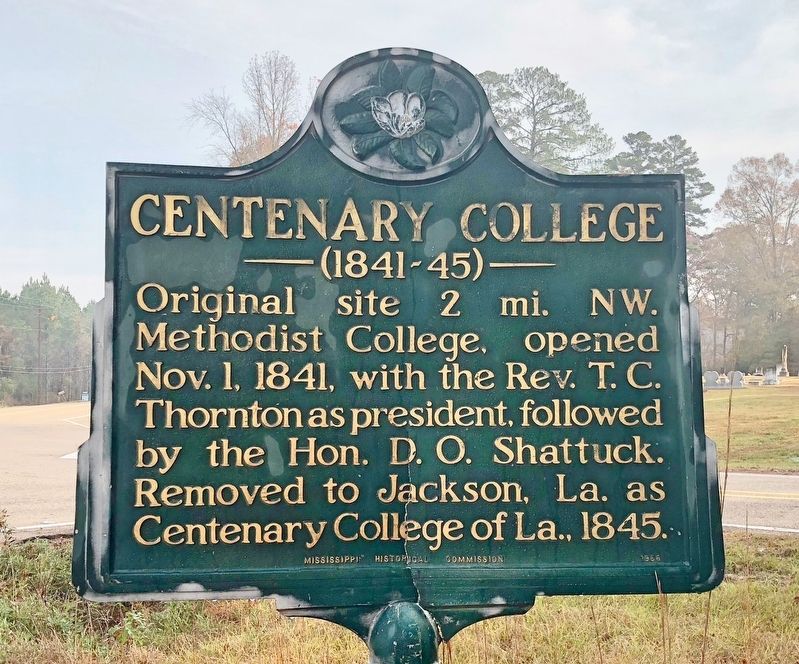
Centenary College
| — | (1841-45) | — |
Photographed by Mark Hilton, December 3, 2017
1. Centenary College Marker
Erected 1966 by Mississippi Historical Commission.
Topics and series. This historical marker is listed in this topic list: Education. In addition, it is included in the Mississippi State Historical Marker Program series list. A significant historical date for this entry is October 1, 1841.
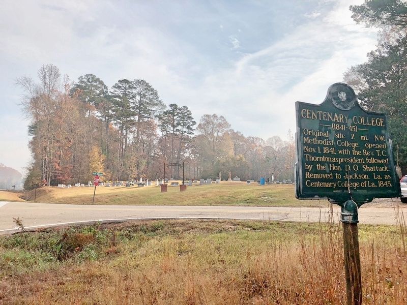
Location. 32° 18.31′ N, 89° 51.685′ W. Marker is near Brandon, Mississippi, in Rankin County. It is at the intersection of U.S. 80 and Gulde Shiloh Road, on the right when traveling east on U.S. 80. Across street from the Gulde Cemetery. Touch for map. Marker is in this post office area: Brandon MS 39042, United States of America. Touch for directions.

Regionally, this marker is in Natchez Trace Corridor and in Greater Jackson. It is also in the American South and specifically in the Deep South. Globally, it is in North America, a Gulf of Mexico state, the Western Hemisphere, the Western World, and the Anglosphere. Historically, it
this page online
Other nearby markers. At least 8 other markers are within 8 miles of this marker, measured as the crow flies: Rubin Lacy (approx. 3.8 miles away); Shiloh Methodist Campground (approx. 5 miles away); Rankin County Courthouses (approx. 7.6 miles away); Rankin County War Memorial (approx. 7.6 miles away); Town Square (approx. 7.6 miles away); Rankin County Confederate Monument (approx. 7.7 miles away); Old Brandon Cemetery (approx. 7.9 miles away); Seminary Square (approx. 7.9 miles away). Touch for a list and map of all markers in Brandon.
Photographed by Mark Hilton, December 3, 2017
2. View from marker east towards the Gulde Cemetery and U.S. Highway 80.
Photographed by Mark Hilton, December 3, 2017
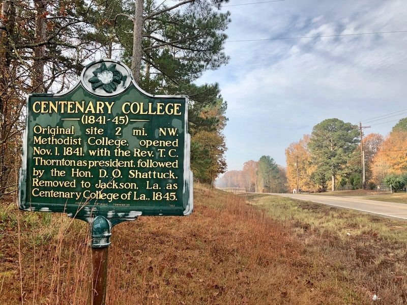
3. Looking west on U.S. Highway 80.
Credits. This page was last revised on December 4, 2017. It was originally submitted on December 4, 2017, by Mark Hilton of Montgomery, Alabama. This page has been viewed 669 times since then and 48 times this year. Photos: 1, 2, 3. submitted on December 4, 2017, by Mark Hilton of Montgomery, Alabama.
