Bridgehampton in Suffolk County, New York — The American Northeast (Mid-Atlantic)
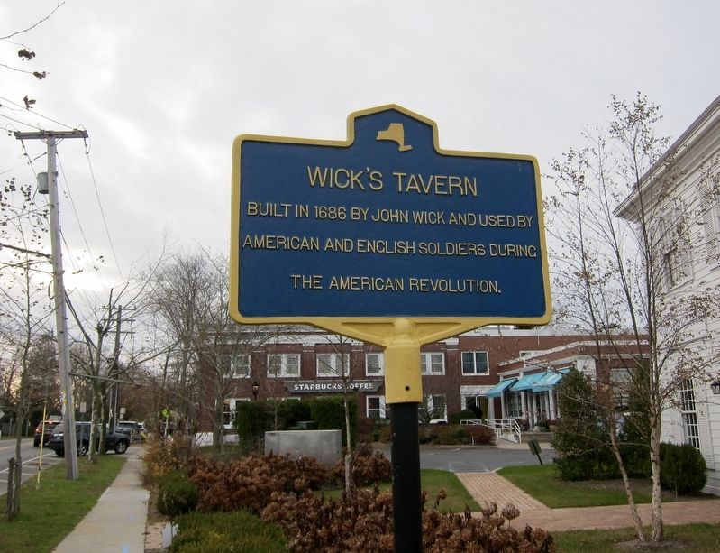
Wick's Tavern
Built in 1686 by John Wick and used by American and British Soldiers during the American Revolution.
Topics. This historical marker is listed in these topic lists: Industry & Commerce • War, US Revolutionary.
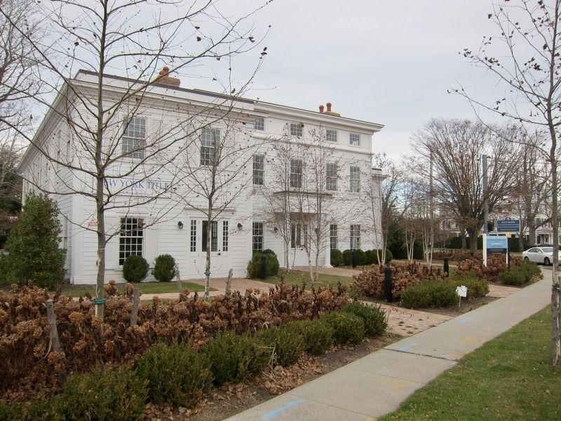
Location. 40° 56.26′ N, 72° 18.063′ W. Marker is in Bridgehampton, New York, in Suffolk County. Marker is at the intersection of Main Street (Montauk Highway) and Ocean Road, on the left when traveling east on Main Street (Montauk Highway). Touch for map. Marker is at or near this postal address: 2510 Main Street, Bridgehampton NY 11932, United States of America. Touch for directions.
Other nearby markers. At least 8 other markers are within 4 miles of this marker, measured as the crow flies. Bridgehampton Founders Monument (within shouting distance of this marker); Auto Races (within shouting distance of this marker); Triangular Commons (about 300 feet away, measured in a direct line); Poxabogue Windmill (approx. 1.2 miles away); Spider Legged Mill (approx. 1.3 miles away); Town of East Hampton (approx. 2.1 miles away); Water Mill Rolls of Honor (approx. 3.3 miles away); The James Corwith Grist Mill (approx. 3.4 miles away). Touch for a list and map of all markers in Bridgehampton.
Also see . . .
1. Wick's Tavern, Montauk Highway, Bridgehampton, Suffolk County. Library of Congress, Historic American Buildings Survey (Submitted on December 4, 2017.)
2. "Bridgehampton Residents Want To Explore Ways To Preserve Wick's Tavern Corner". 27East entry, June 10, 2015:
"A corner of Bridgehampton’s busiest intersection once served in the 1700s as the site of Wick’s Tavern, which housed the hamlet’s first post office, and was where local freemen who opposed the British Parliament are believed to have met during the Revolutionary War era. It has been recognized by the state as a historic place." (Submitted on December 4, 2017.)
Credits. This page was last revised on March 29, 2021. It was originally submitted on December 4, 2017, by Andrew Ruppenstein of Lamorinda, California. This page has been viewed 1,395 times since then and 86 times this year. Photos: 1, 2. submitted on December 4, 2017, by Andrew Ruppenstein of Lamorinda, California.

