Meridian in Lauderdale County, Mississippi — The American South (East South Central)
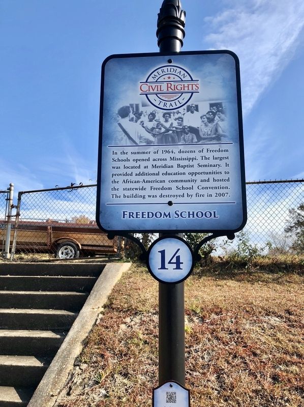
Freedom School
Meridian Civil Rights Trail
Erected 2014 by the Meridian/Lauderdale County Tourism Bureau. (Marker Number 14.)
Topics and series. This historical marker is listed in these topic lists: African Americans • Education. In addition, it is included in the Meridian, Mississippi Civil Rights Trail series list. A significant historical year for this entry is 1964.
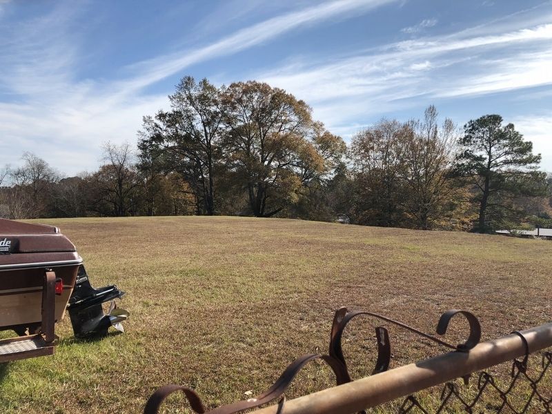
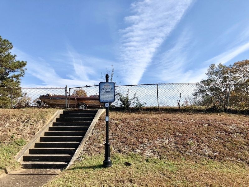
Location. 32° 22.368′ N, 88° 42.572′ W. Marker is in Meridian, Mississippi, in Lauderdale County. Marker is at the intersection of Martin Luther King Jr. Drive and 16th Street, on the right when traveling north on Martin Luther King Jr. Drive. Martin Luther King Jr. Drive is also known as 31st Avenue. Touch for map. Marker is at or near this postal address: 1525 Martin Luther King Jr Drive, Meridian MS 39301, United States of America. Touch for directions.
Other nearby markers. At least 8 other markers are within walking distance of this marker. Wechsler School (about 400 feet away, measured in a direct line); a different marker also named Wechsler School (about 400 feet away); Carnegie Branch Library for Blacks (approx. 0.3 miles away); The Impact of Churches (approx. 0.3 miles away); Whitfield "Big Central" High School (approx. 0.3 miles away); Dial House Site (approx. 0.4 miles away); Merrehope (approx. 0.4 miles away); a different marker also named Merrehope (approx. 0.4 miles away). Touch for a list and map of all markers in Meridian.
Credits. This page was last revised on October 15, 2020. It was originally submitted on December 5, 2017, by Mark Hilton of Montgomery, Alabama. This page has been viewed 293 times since then and 45 times this year. Photos: 1, 2, 3. submitted on December 5, 2017, by Mark Hilton of Montgomery, Alabama.


