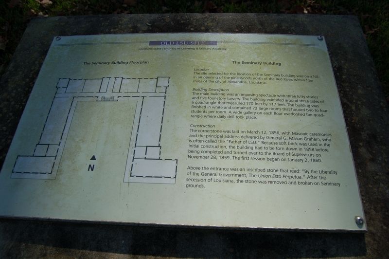
The Seminary Building
Old LSU Site
— Louisiana State Seminary of Learning & Military Academy —
Location
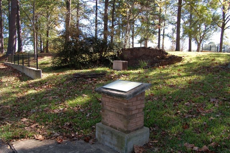
The site selected for the location of the Seminary building was on a hill in an opening of the pine woods north of the Red River, within four miles of the city of Alexandria, Louisiana.
Building Description
The main building was an imposing spectacle with three lofty stories and five four-story towers. The building extended around three sides of a quadrangle that measured 170 feet by 117 feet. The building was finished in white and contained 72 large rooms that housed two to four students per room. A wide gallery on each floor overlooked the quadrangle where daily drills took place.
Construction
The cornerstone was laid on March 12, 1856, with Masonic ceremonies and the principal address delivered by General G. Mason Graham, who is often called the "Father of LSU." Because soft brick was used in the initial construction, the building had to be torn down in 1858 before being completed and turned over to the Board of Supervisors on November 28, 1859. The first session began on January 2, 1860.
Above the entrance was an inscribed stone that read: "By the Liberality of the General Government, the Union Esto Perpetua." After the secession of Louisiana, the stone was removed and broken on Seminary grounds.
Topics. This historical marker is listed in this topic list: Education. A significant historical date for this entry is January 2, 1860.
Location.
Other nearby markers. At least 8 other markers are within walking distance of this marker. This Stone Was A Part Of The 1st LA. Seminary (a few steps from this marker); Campus Life (within shouting distance of this marker); Early Leadership (within shouting distance of this marker); A Brief History of the Seminary and the Original Campus (within shouting distance of this marker); State Seminary of Learning and Military Academy (within shouting distance of this marker); Superintendent William T. Sherman (about 300 feet away, measured in a direct line); Fallen Federal Firefighters/ Oklahoma City Bombing Victims Memorial Grove (about 600 feet away); First United Methodist Church (approx. 0.9 miles away). Touch for a list and map of all markers in Pineville.
Credits. This page was last revised on December 7, 2017. It was originally submitted on December 7, 2017, by Cajun Scrambler of Assumption, Louisiana. This page has been viewed 218 times since then and 11 times this year. Photos: 1, 2. submitted on December 7, 2017.

