Near Hedgesville in Berkeley County, West Virginia — The American South (Appalachia)
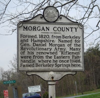
Morgan County
⎯⎯⎯
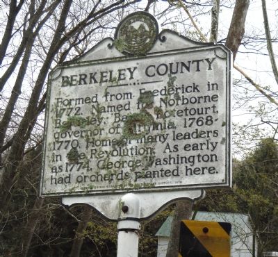
Berkeley County
Photographed by J. J. Prats, April 28, 2007
1. Morgan County Marker Face
Morgan County. Formed, 1820, from Berkeley and Hampshire. Named for Gen. Daniel Morgan of the Revolutionary Army. Many of his renowned “Riflemen” were from the Eastern Panhandle, where he once lived. Famed Berkeley Springs here.
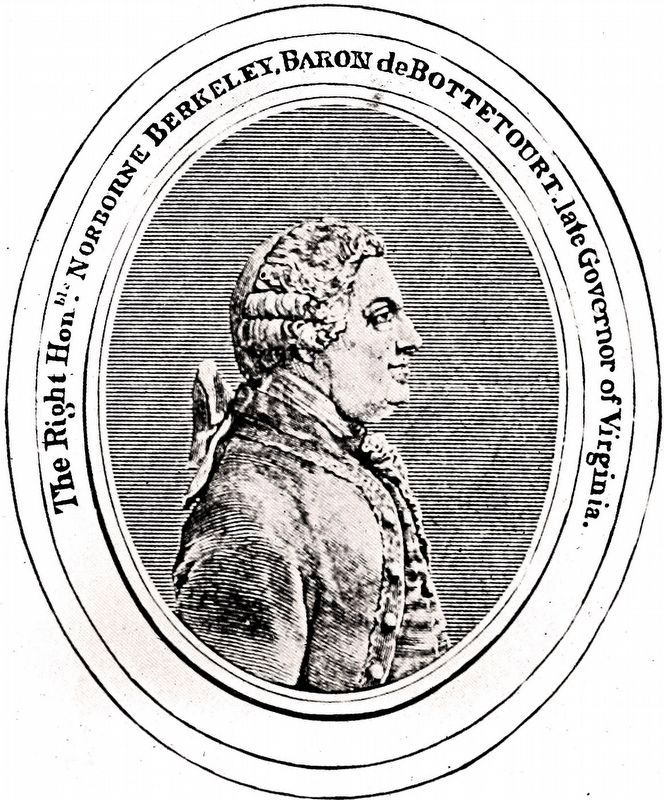
Berkeley County. Formed from Frederick in 1772. Named for Norborne Berkeley, Baron de Botetourt, governor of Virginia, 1768–1770. Home of many leaders in the Revolution. As early as 1774, George Washington had orchards planted here.
Erected 1978 by West Virginia Department of Culture and History.
Topics and series. This historical marker is listed in these topic lists: Political Subdivisions • War, US Revolutionary. In addition, it is included in the West Virginia Archives and History series list. A significant historical year for this entry is 1820.
Location. 39° 35.82′ N, 78° 4.032′ W. Marker is near Hedgesville, West Virginia, in Berkeley
this page online

Regionally, this marker is in the Eastern Panhandle. It is also in the American South, specifically in the Upper South, in Appalachia, and specifically in Northern Appalachia. Globally, it is in North America, the Western Hemisphere, the Western World, and the Anglosphere. Historically, it finds itself in what was once the territory of the Mississippian Culture and also the Antebellum South.
Other nearby markers. At least 5 other markers are within 4 miles of this marker, measured as the crow flies: Site of the Snyders Evangelical Church (approx. 0.4 miles away); Ernstville Road Bridge (approx.
Photographed by J. J. Prats, April 28, 2007
2. Berkeley County Marker Face
Another marker is no longer nearby. The National Road (was approx. 3.3 miles away in Maryland but has been permanently removed).
Regarding Morgan County / Berkeley County. Berkeley Springs is not in Berkeley County. It is in Morgan County.
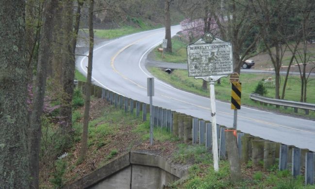
Photographed by J. J. Prats, April 28, 2007
3. Drizzly Spring Day in the Mountains on Route 9
Photographed by Independence NHP
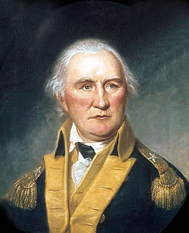
4. Daniel Morgan
Portrait From Life c. 1794 by Charles Willson Peale
Internet Archive
5. The Right Hon'ble Norborne Berkeley,
Baron de Bottetourt,
Late Governor of Virginia.
Baron de Bottetourt,
Late Governor of Virginia.
From The Encyclopedia of Virginia Biography edited by Lyon Gardiner Tyler, 1915.
Credits. This page was last revised on September 23, 2021. It was originally submitted on June 9, 2007, by J. J. Prats of Powell, Ohio. This page has been viewed 1,414 times since then and 30 times this year. Photos: 1, 2, 3. submitted on June 9, 2007, by J. J. Prats of Powell, Ohio. 4, 5. submitted on October 11, 2020, by Allen C. Browne of Silver Spring, Maryland.
