Kerrville in Kerr County, Texas — The American South (West South Central)
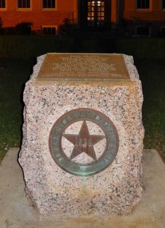
Kerr County
Created January 26, 1856
Organized March 22, 1856
Named in honor of
James Kerr, 1790-1850
the first American settler on
the Guadalupe River. General
manager of DeWitt's Colony
signer of the Texas Declaration
of Independence; member of the
Third Texas Congress.
County Seat, Kerrsville
(afterwards Kerrville), 1856-1860
Comfort, 1860-1862, Kerrville since
Erected 1936 by State of Texas. (Marker Number 2929.)
Topics and series. This historical marker is listed in this topic list: Notable Places. In addition, it is included in the Texas 1936 Centennial Markers and Monuments series list.
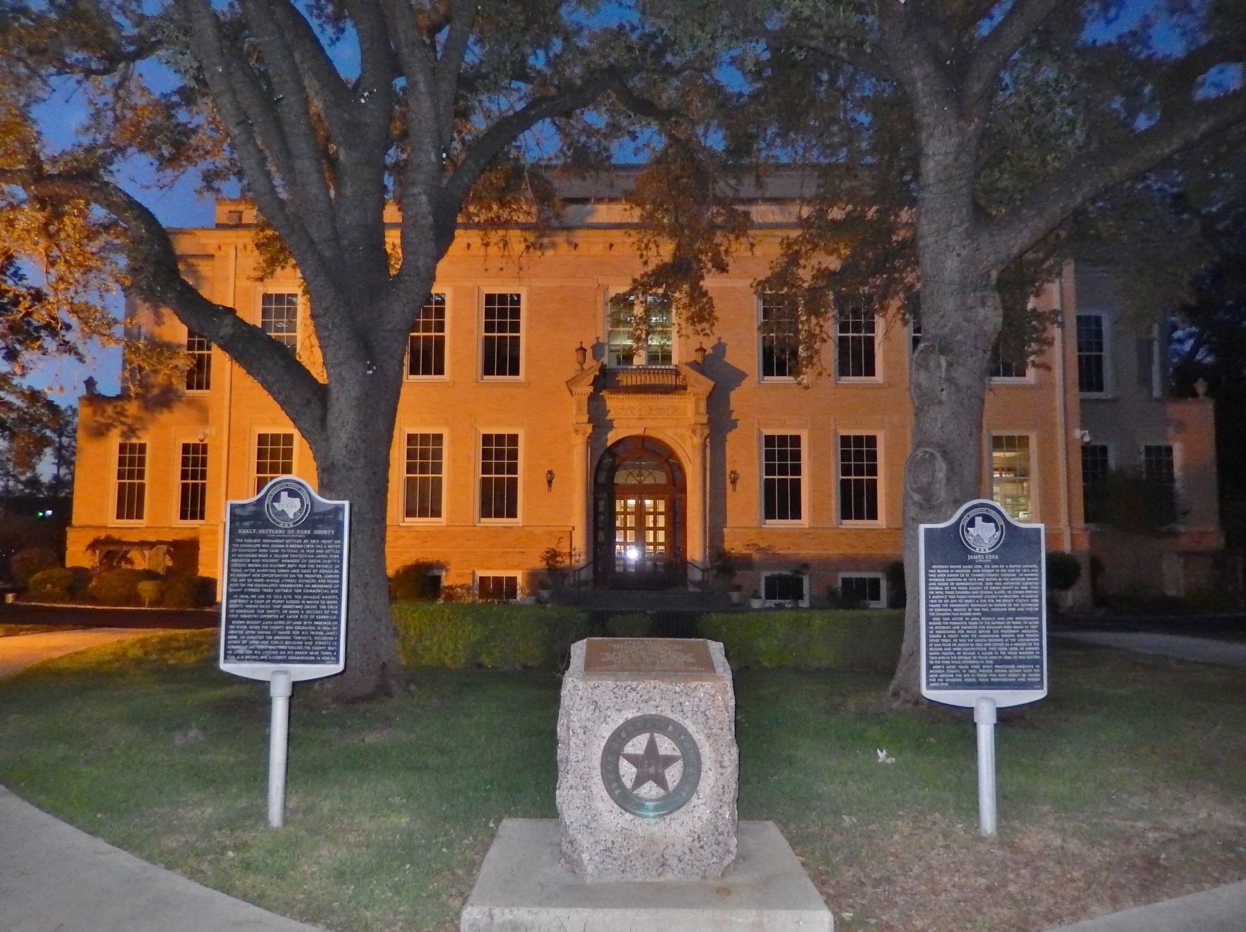
Location. 30° 2.837′ N, 99° 8.378′ W. Marker is in Kerrville, Texas, in Kerr County. Marker is on Main Street (State Highway 27) north of Earl Garrett Street, on the right when traveling north. Marker is located in plaza in front of the Kerr County Courthouse, between the parking lot and the main entrance. Touch for map. Marker is at or near this postal address: 700 Main Street, Kerrville TX 78028, United States of America. Touch for directions.
Other nearby markers. At least 8 other markers are within walking distance of this marker. James Kerr (here, next to this marker); Early Settlers of Kerr County (here, next to this marker); Bocock Civil War Cannon (within shouting distance of this marker); Kerr County War Memorial (within shouting distance of this marker); Joshua D. Brown (about 300 feet away, measured in a direct line); Charles A. Schreiner (about 300 feet away); Guthrie Building (about 300 feet away); Kerrville Mountain Sun (about 300 feet away). Touch for a list and map of all markers in Kerrville.
Also see . . .
1. A Brief History of Kerr County.
Kerrville's growth was further heightened at this time as Indian raids eventually ceased and windmills and barbed wire were introduced. Families established successful sheep, cattle and goat ranches in the area. Cattle drives punctuated the boom years of the late 1880s and 1890s. In 1887 The San Antonio and Aransas Pass Railway reached Kerrville, and two years later, in 1889, the town incorporated. The Kerrville Water Works Company began to provide water for town dwellers in 1894. Telephone service was introduced in 1896 and the town began to pave streets in 1912. (Submitted on December 9, 2017, by Cosmos Mariner of Cape Canaveral, Florida.)
2. A Brief History of Kerr County.
From Joshua Brown's shingle
camp (located at what is now the 900 block of Water Street) grew the county seat: Kerrville.
In 1857, A German master miller named Christian Dietert and millwright Bathasar Lich started a large grist and saw mill on a bluff next to the Guadalupe River. Because the mill's location was protected from floods had a permanent source of power (the river), it became the most extensive operation of its kind west of New Braunfels and San Antonio. (Submitted on December 9, 2017, by Cosmos Mariner of Cape Canaveral, Florida.)
3. Kerr County, Texas.
Kerr County was formed in 1856 from Bexar Land District Number 2. Joshua Brown donated the land that became Kerrville, and had it named for his friend James Kerr. Kerrville was named the county seat. The U.S. Camel Corps, headquartered at Verde, was the brainchild of United States Secretary of War (1853–57) Jefferson Davis. (Submitted on December 9, 2017, by Cosmos Mariner of Cape Canaveral, Florida.)
Credits. This page was last revised on December 23, 2018. It was originally submitted on December 9, 2017, by Cosmos Mariner of Cape Canaveral, Florida. This page has been viewed 230 times since then and 14 times this year. Photos: 1, 2. submitted on December 9, 2017, by Cosmos Mariner of Cape Canaveral, Florida. • Bernard Fisher was the editor who published this page.

