Camden in Kershaw County, South Carolina — The American South (South Atlantic)
Northwest Redoubt
Photographed by Bill Coughlin, November 5, 2017
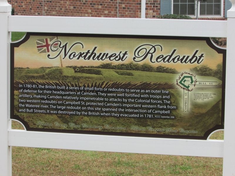
1. Northwest Redoubt Marker
In 1780 - 81, the British built a series of small forts or redoubts to serve as an outer line of defense for their headquarters at Camden. They were well fortified with troops and artillery, making Camden relatively impenetrable to attack by the Colonial forces. The two western redoubts on Campbell St. protected Camden’s important western flank from the Wateree river. The large redoubt on this site spanned the intersection of Campbell and Bull Streets. It was destroyed by the British when they evacuated in 1781.
Erected by Kershaw County Clean Community Commission, Historic Campbell Street Committee.
Topics. This historical marker is listed in this topic list: War, US Revolutionary.
Location. 34° 14.185′ N, 80° 36.605′ W. Marker is in Camden, South Carolina, in Kershaw County. It is at the intersection of Campbell Street and Bull Street, on the right when traveling north on Campbell Street. Touch for map. Marker is in this post office area: Camden SC 29020, United States of America. Touch for directions.

Regionally, this marker is in the Midlands and in the Olde
this page online
Other nearby markers. At least 8 other markers are within walking distance of this marker: A different marker also named Northwest Redoubt (a few steps from this marker); West Redoubt (approx. 0.2 miles away); a different marker also named West Redoubt (approx. 0.2 miles away); Colonel Joseph Kershaw's Tomb (approx. 0.2 miles away); Quaker Burying Ground (approx. 0.2 miles away); Quaker Cemetery (approx. 0.2 miles away); Unknown Confederate Soldiers (approx. 0.2 miles away); The Camden Oak (approx. 0.2 miles away). Touch for a list and map of all markers in Camden.
Photographed by Bill Coughlin, November 5, 2017
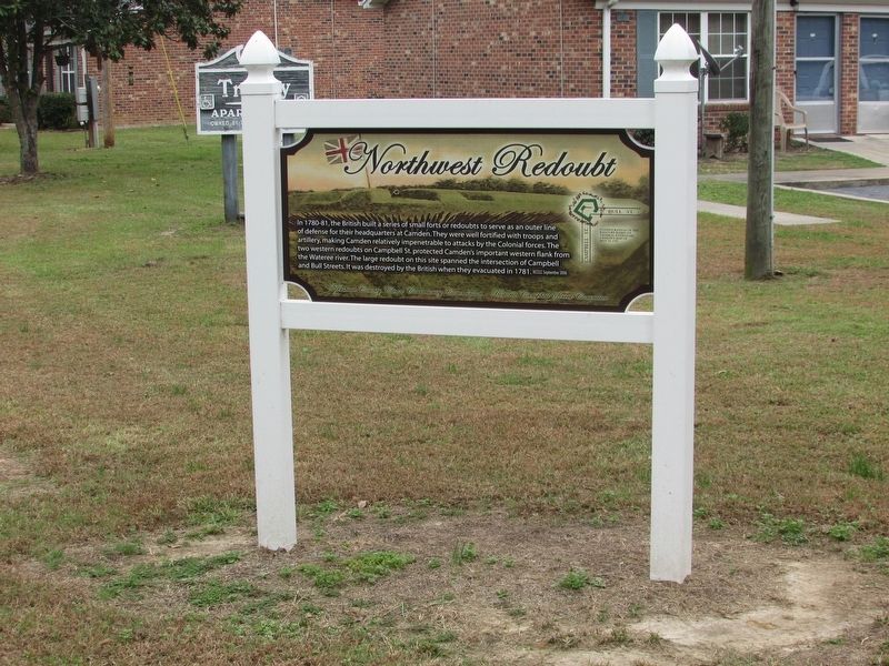
2. Northwest Redoubt Marker
Photographed by Bill Coughlin, November 5, 2017
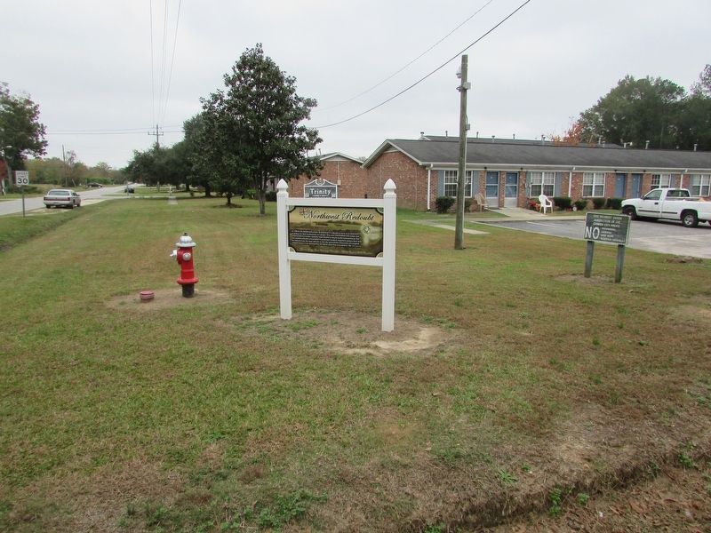
3. Northwest Redoubt Marker
Credits. This page was last revised on December 11, 2017. It was originally submitted on November 7, 2017, by Bill Coughlin of Woodland Park, New Jersey. This page has been viewed 324 times since then and 23 times this year. Last updated on December 9, 2017, by Byron Hooks of Sandy Springs, Georgia. Photos: 1, 2, 3. submitted on November 7, 2017, by Bill Coughlin of Woodland Park, New Jersey. • Bernard Fisher was the editor who published this page.
