Near Joseph in Wallowa County, Oregon — The American West (Northwest)
Putting Down Roots
Settlement Brings Change

Photographed By Barry Swackhamer, June 29, 2017
1. Putting Down Roots Marker
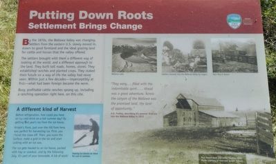
Captions: (top right row) Wallowa Lake; Settlers traveled into the Wallowa Valley by wagon; Marr Ranch House; (bottom right) Marr Ranch barn and cattle loading chute; (bottom left) Sawing ice blocks to store for use in summer.
The settlers brought with them a different way of looking at the world, and a different approached to the land. They built toll roads, homes, stores. They established ranches and planted crops. They staked their future on a way of life the valley had never seen. Within a few decades - imperceptibly at first - what had been foreign became the norm.
A different kind of Harvest
Before refrigeration, how could you have an ice cold drink on a hot summer day? By getting last year's ice from the ice house.
Knight's Pond just over the hill from here, was perfect for harvesting ice. First, you shovel the snow off. Then, you score the surface, make a grid in the ice and start cutting with an ice saw.
The ice gets hauled to and ice house, packed with hay or sawdust, and by the following July, it's part of your lemonade. A lot of work!
"They were... filled with the indomitable spirit... Ahead was a great adventure. Across the canyon of the Wallowa was the promised land, the land of opportunity." -- H.R. Findley, describing his parents' first trip into the Wallowa Valley in 1872
Erected by Oregon State Parks.
Topics. This historical marker is listed in this topic list: Settlements & Settlers. A significant historical year for this entry is 1872.
Location. 45° 20.562′ N, 117° 13.44′ W. Marker is near Joseph, Oregon, in Wallowa County. Marker is on Wallowa Lake Highway near South East Street, on the right when traveling south. Touch for map. Marker is in this post office area: Joseph OR 97846, United States of America. Touch for directions.
Other nearby markers. At least 8 other markers are within 7 miles of this marker, measured as the crow flies. Salmon for Trade (a few steps from this marker); "Only the sounds of the horses..." (within shouting distance of this marker); Iwetemlaykin State Heritage Site (within shouting distance of this marker); tiwi∙teqis (Old Chief Joseph) (approx. 0.4 miles away); Chief "Old" Joseph (approx. 0.4 miles away); Wallowa Lake (approx. half a mile away); 19 Dr. J.W. Barnard Drugs 08 (approx. 0.7 miles away); Nez Perce (approx. 6.6 miles away). Touch for a list and map of all markers in Joseph.
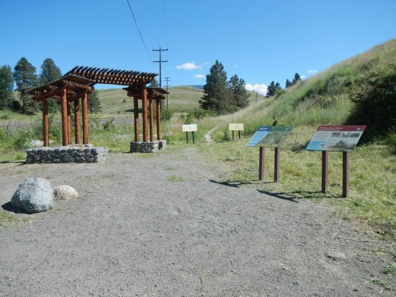
More about this marker. This marker is located at Iwetemlaykin State Heritage Site.
Credits. This page was last revised on December 11, 2017. It was originally submitted on December 11, 2017, by Barry Swackhamer of Brentwood, California. This page has been viewed 140 times since then and 10 times this year. Photos: 1, 2. submitted on December 11, 2017, by Barry Swackhamer of Brentwood, California.
