City of Westminster in Greater London, England, United Kingdom — Northwestern Europe (the British Isles)
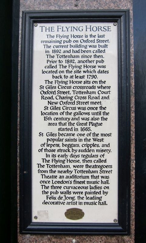
The Flying Horse
Photographed by Andrew Ruppenstein, October 12, 2017
1. The Flying Horse Marker
The Flying Horse sits on the St Giles Circus crossroads where Oxford Street, Tottenham Court Road, Charing Cross Road and New Oxford Street meet.
St Giles Circus was once the location of the gallows until the 15th century and was also the area that the Great Plague started in 1665.
St. Giles became one of the most popular saints in the West of lepers, beggars, cripples, and of those struck by sudden misery.
In its early days regulars of The Flying Horse, then called The Tottenham, were theatregoers from the nearby Tottenham Street Theatre an auditorium that was once London's finest music hall. The three curvaceous ladies on the pub walls were painted by Felix de Jong, the leading decorative artist in music hall.
Erected by Nicholson's Freehouse.
Topics. This historical marker is listed in these topic lists: Entertainment • Industry & Commerce. A significant historical year for this entry is 1892.
Location. 51° 30.989′ N, 0° 7.845′ W. Marker is in City of Westminster, England, in Greater London. It is at the intersection of Oxford Street and Tottenham Court Road on Oxford Street. Touch for map. Marker is at or near this postal address: 6 Oxford Street, City of Westminster, England W1D 1AN, United Kingdom. Touch for directions.

Regionally, this marker is in the Greater South East. Globally, it is on the Atlantic Ocean, in the North Atlantic Region, in Europe, in Atlantic Europe, on one of the British Isles, in the Western World, and in the Anglosphere. Historically, it finds itself in what was once the Roman Empire.
Other nearby markers. At
this page online
Photographed by Andrew Ruppenstein, October 12, 2017
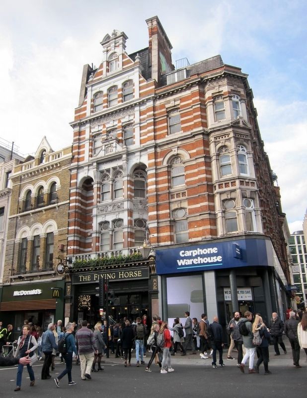
2. The Flying Horse and Marker - Wide View, Looking Across Oxford Street
The marker is just barely visible here, on the left side of the Flying Horse, behind the head of the backpack-wearing pedestrian crossing the street.
circa 1910
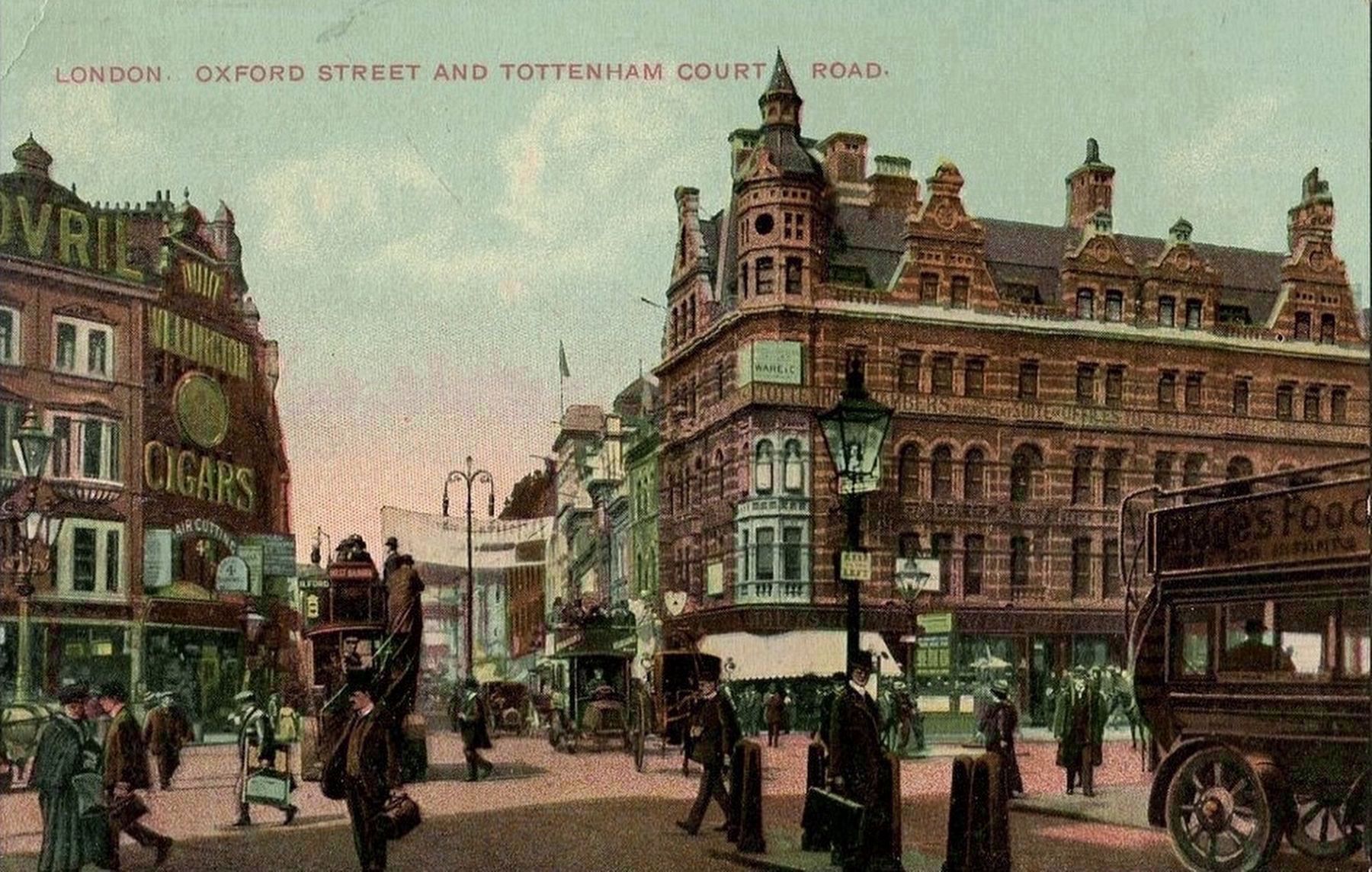
3. London - Oxford Street and Tottenham Court Road
This view shows the St. Giles Circus crossroads, more than a century earlier, taken from New Oxford Street and looking west on Oxford Street, with Tottenham Court Road to the right and Charing Cross Road to the left. The Flying Horse would be in the building in on the right, although the pub itself is not quite visible here.
Credits. This page was last revised on March 5, 2026. It was originally submitted on December 13, 2017, by Andrew Ruppenstein of Lamorinda, California. This page has been viewed 778 times since then and 110 times this year. Photos: 1, 2, 3. submitted on December 13, 2017, by Andrew Ruppenstein of Lamorinda, California.
