La Grande in Union County, Oregon — The American West (Northwest)
Historic La Grande
Oregon History
Photographed by Barry Swackhamer, June 30, 2017
1. Historic La Grande Marker
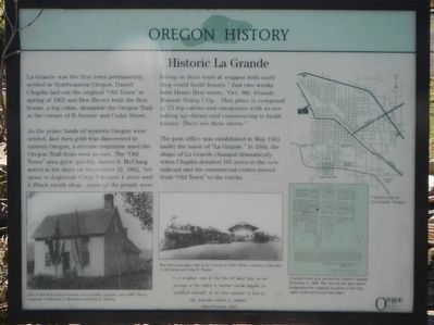
Captions: (bottom left) One of the first houses in La Grande, Oregon, circa 1880.; (bottom center) The first passenger train in La Grande in 1884.; (bottom right) Original town plat plotted by Daniel Chaplin February 4, 1868. The dot on the plat above designates the original location of the log cabin (relocated near this sign).; (upper right) Current map of La Grande, Oregon.
As the prime lands of western Oregon were settled, and then gold was discovered in eastern Oregon, a reverse migration used the Oregon Trail from west to east. The "Old Town" area grew quickly. James S. McClung noted in his diary on September 22, 1862, "we came to Legrande Citty 5 houses 1 store and a Black smith shop... some of the people were living in their tent & waggon beds until they could build houses." Just two weeks later Henry Herr wrote, "Oct. 9th Grande Rounde Valley City... This place is composed of 75 log cabins and emegrants with us are taking up claims and commencing to build houses. There are three stores.
The post office was established in May 1863 under the name of "La Grande." In 1884, the shape of La Grande changed dramatically when Chaplin donated 105 areas to the new railroad and the commercial center moved from "Old Town" to the tracks.
this page online
" it is a place - one of the few we have seen in our journey so far - were a farmer would delight to establish himself, if he were content to live in the seclusion which it imposes." -- John Fremont, 1843
Erected by Oregon Department of Transportation.
Topics and series. This historical marker is listed in this topic list: Settlements & Settlers. In addition, it is included in the Oregon Beaver Boards series list. A significant historical month for this entry is May 1863.
Location. 45° 20.148′ N, 118° 6.474′ W. Marker is in La Grande, Oregon, in Union County. It is on La Grande - Baker Highway (Adams Avenue) (U.S. 30) near Otten Drive, on the right when traveling north. Touch for map. Marker is at or near this postal address: 199 Adams Avenue, La Grande OR 97850, United States of America. Touch for directions.

Regionally, this marker is in Eastern Oregon. It is also in the American Mountain West and in the Lewis & Clark Corridor. Globally, it is in North America, on the Pacific Rim, in the Western Hemisphere, in the Western World, and in the Anglosphere.
Other nearby markers. At least 7 other markers are within 11 miles
Photographed by Barry Swackhamer, June 30, 2017
2. Historic La Grande Marker
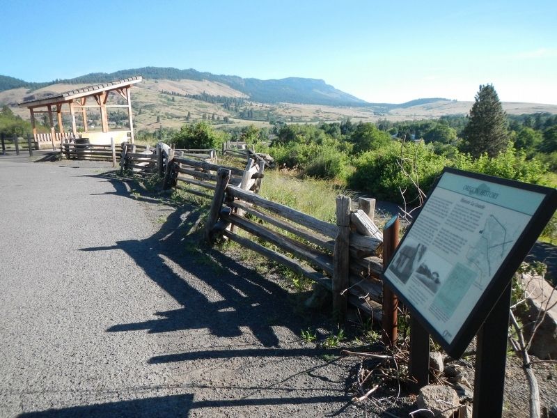
More about this marker. This marker is in Gangloff Park.
Also see . . . Oregon Travel Experience - Historic La Grande. (Submitted on January 12, 2018, by Douglass Halvorsen of Klamath Falls, Oregon.)
Credits. This page was last revised on December 14, 2024. It was originally submitted on December 13, 2017, by Barry Swackhamer of Brentwood, California. This page has been viewed 1,365 times since then and 112 times this year. Photos: 1, 2. submitted on December 13, 2017, by Barry Swackhamer of Brentwood, California.
