Near Pumpville in Val Verde County, Texas — The American South (West South Central)
Pumpville
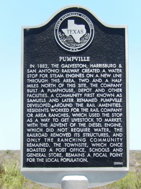
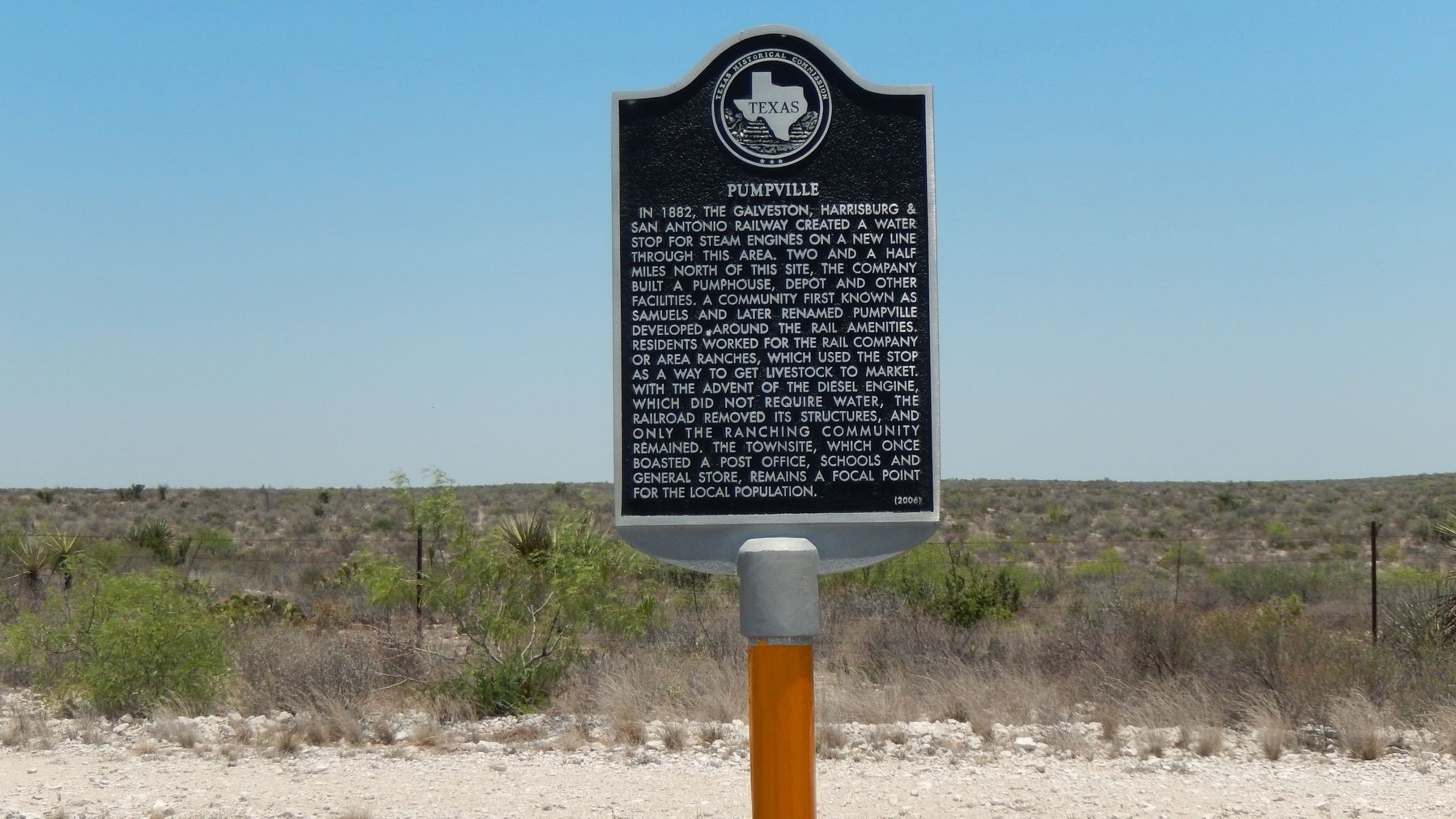
In 1882, the Galveston, Harrisburg & San Antonio Railway created a water stop for steam engines on a new line through this area. Two and a half miles north of this site, the company built a pumphouse, depot and other facilities. A community first known as Samuels and later renamed Pumpville developed around the rail amenities. Residents worked for the rail company or area ranches, which used the stop as a way to get livestock to market. With the advent of the diesel engine, which did not require water, the railroad removed its structures, and only the ranching community remained. The townsite, which once boasted a post office, schools and general store, remains a focal point for the local population.
Erected 2006 by Texas Historical Commission. (Marker Number 13411.)
Topics. This historical marker is listed in these topic lists: Industry & Commerce • Railroads & Streetcars • Settlements & Settlers. A significant historical year for this entry is 1882.
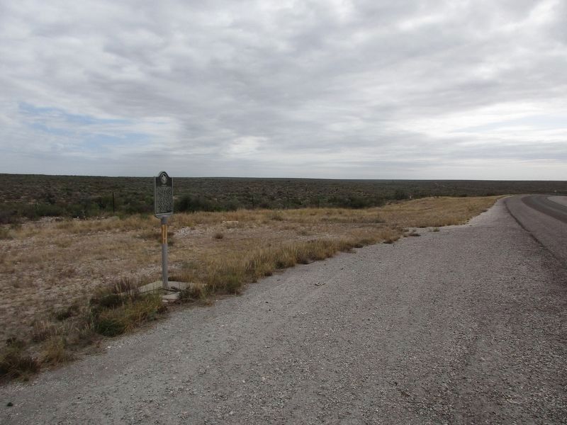
Location. 29° 54.525′ N, 101° 45.51′ W. Marker is near Pumpville, Texas, in Val Verde County. Marker is on U.S. 90 east of Pumpville Road (Farm to Market Road 1865), on the right when traveling west. Marker is located in pull-out on north side of highway. Touch for map. Marker is in this post office area: Langtry TX 78871, United States of America. Touch for directions.
Other nearby markers. At least 8 other markers are within 15 miles of this marker, measured as the crow flies. Law West of the Pecos (approx. 13.7 miles away); Jersey Lily Saloon - - 1882 - 1903 (approx. 13.7 miles away); Langtry (approx. 13.8 miles away); William H. Dodd (approx. 13.8 miles away); The Torres Family (approx. 13.8 miles away); Langtry School (approx. 13.8 miles away); Fitzsimmons-Maher Prizefight (approx. 14.1 miles away); Robert Thomas Hill (approx. 14.1 miles away).
Also see . . .
1. Pumpville, Texas.
Pumpville's purpose was to provide water for steam locomotives belonging to the Southern Pacific. The railroad personnel formed a nucleus of Pumpville's population. The ranchers got tired of playing solitaire, so they'd sort of come into "town" and discuss the weather with the railroad employees. Before long, it wasn't unusual to see three or four people gathered near the railroad tracks. A town was born. When the need for steam was killed by diesel locomotives, the railroad sent their people elsewhere and the ranchers went back to their ranches. (Submitted on December 14, 2017, by Cosmos Mariner of Cape Canaveral, Florida.)
2. Pumpville, Texas.
In 1887 the railroad drilled wells at Samuels to supply water for use by the trains, and the station was renamed Pumpville to reflect its purpose. In August 1889 a westbound passenger train was robbed near Pumpville. At different times the community had a church, a school, a store, and a service station. It was once headquarters for D. Hart Investments. Hart controlled all of Block Y and the watering places on both the Rio Grande and the Pecos River. He held 80,000 sheep, 500 horses, and uncounted cattle there. However, his empire crumbled when he attempted to corner the wool market in Boston. (Submitted on December 14, 2017, by Cosmos Mariner of Cape Canaveral, Florida.)
Credits. This page was last revised on October 18, 2023. It was originally submitted on December 14, 2017, by Cosmos Mariner of Cape Canaveral, Florida. This page has been viewed 589 times since then and 67 times this year. Photos: 1, 2, 3. submitted on December 14, 2017, by Cosmos Mariner of Cape Canaveral, Florida. 4. submitted on October 17, 2023, by Jeff Leichsenring of Garland, Texas. • Bernard Fisher was the editor who published this page.


