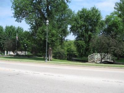
Omro in Winnebago County, Wisconsin — The American Midwest (Great Lakes)
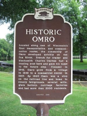
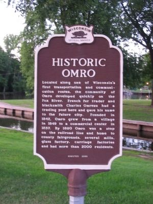
Historic Omro
Erected 2000 by the Wisconsin Historical Society. (Marker Number 456.)
Topics and series. This historical marker is listed in this topic list: Settlements & Settlers. In addition, it is included in the Wisconsin Historical Society series list. A significant historical year for this entry is 1842.
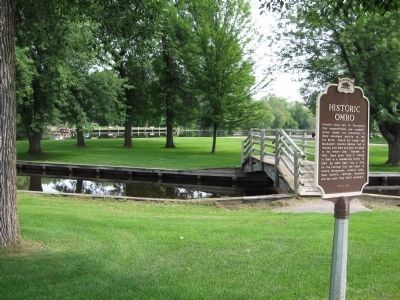
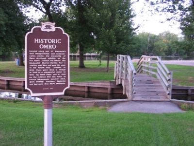
Location. 44° 2.37′ N, 88° 44.346′ W. Marker is in Omro, Wisconsin, in Winnebago County. Marker is on East Main Street (State Highway 21) east of Quincy Avenue, on the left when traveling east. Marker is at Scott Park. Touch for map. Marker is at or near this postal address: 515 East Main Street, Omro WI 54963, United States of America. Touch for directions.
Other nearby markers. At least 8 other markers are within 9 miles of this marker, measured as the crow flies. Omro Veterans Memorial (a few steps from this marker); Omro Cemetery (approx. 1˝ miles away); Little House (approx. 5 miles away); Butte des Morts (approx. 6 miles away); Trading Post (approx. 6.7 miles away); Poygan Paygrounds (approx. 7.7 miles away); The 32d Red Arrow Division (approx. 8.1 miles away); Elizabeth Batchelder Davis Children’s Home (approx. 8.2 miles away). Touch for a list and map of all markers in Omro.
Credits. This page was last revised on September 19, 2020. It was originally submitted on September 6, 2008, by Keith L of Wisconsin Rapids, Wisconsin. This page has been viewed 1,517 times since then and 88 times this year. Photos: 1. submitted on August 5, 2010, by Keith L of Wisconsin Rapids, Wisconsin. 2. submitted on September 6, 2008, by Keith L of Wisconsin Rapids, Wisconsin. 3. submitted on August 5, 2010, by Keith L of Wisconsin Rapids, Wisconsin. 4. submitted on September 6, 2008, by Keith L of Wisconsin Rapids, Wisconsin. 5. submitted on August 5, 2010, by Keith L of Wisconsin Rapids, Wisconsin. • Craig Swain was the editor who published this page.
