Koolauloa in Laie in Honolulu County, Hawaii — Hawaiian Island Archipelago (Pacific Ocean)
Mission School
Photographed by Rev. Ronald Irick, December 5, 2017
1. Mission School Marker
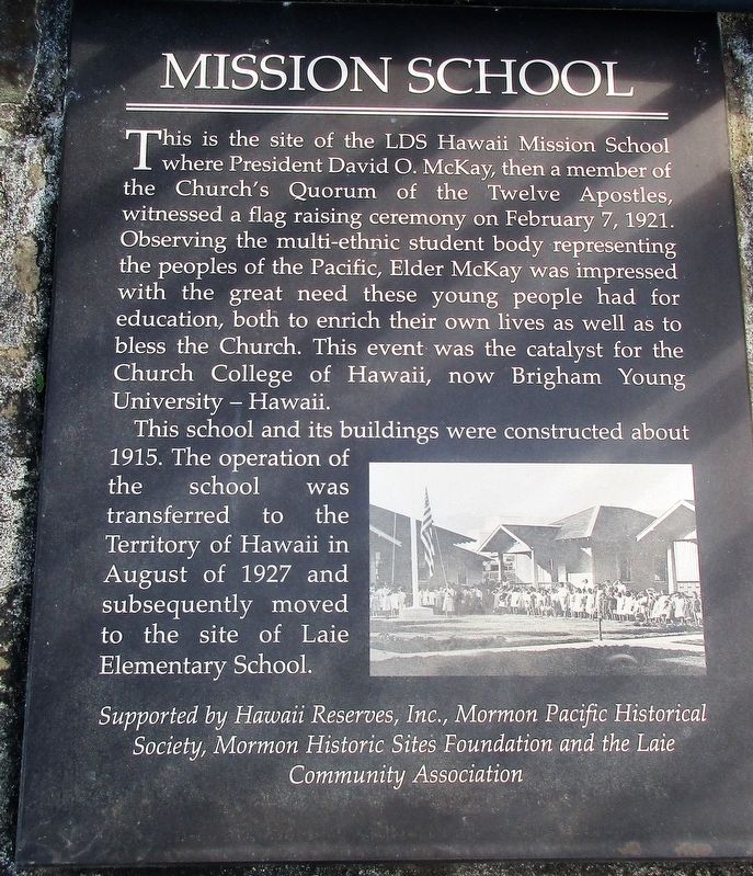
This school and its buildings were constructed about 1915. The operation of the school was transferred to the Territory of Hawaii in August of 1927 and subsequently moved to the site of Laie Elementary School.
Supported by Hawaii Resources, Inc., Mormon Pacific Historical
Society, Mormon Historic Sites Foundation and the Laie
Community Association
Erected by Hawaii Resources, Inc., Mormon Pacific Historical Society, Mormon Historic Sites Foundation and the Laie Community Association.
Topics. This historical marker is listed in these topic lists: Education • Religion & Religious Structures. A significant historical date for this entry is February 7, 1921.
Location. 21° 38.963′ N,
this page online

Regionally, this marker is on Windward Oahu and in Greater Honolulu. Globally, it is in North America, in Polynesia, in the Pacific Ocean, in North Pacific, on the Pacific Rim, in the Western Hemisphere, in the Western World, and in the Anglosphere.
Other nearby markers. At least 5 other markers are within 14 miles of this marker, measured as the crow flies: Breaking Ground with a Vision: An Inspired Beginning (approx. half a mile away); Opana Radar Site (approx. 5.8 miles away); a different marker also named Opana Radar Site (approx. 5.8 miles away); U.S. Medium Tank (approx. 13.4 miles away); Major General John M. Schofield (approx. 13½ miles away).
Photographed by Rev. Ronald Irick, December 5, 2017
2. Mission School Marker
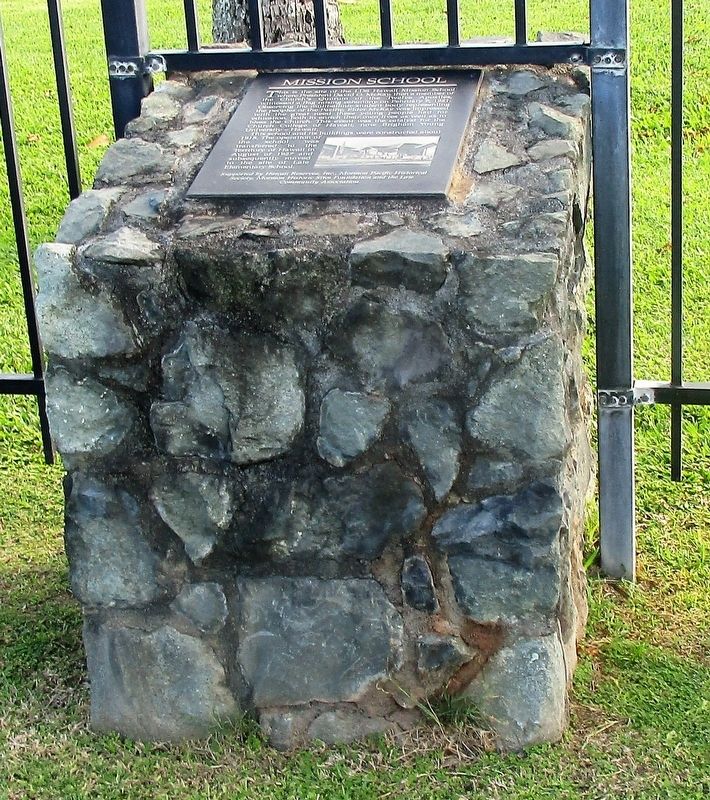
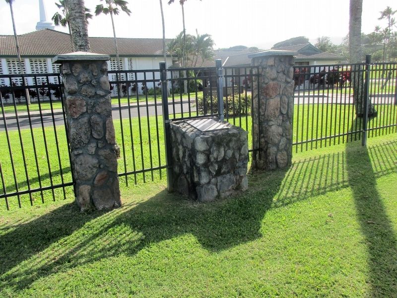
full view of marker from street. Note fence was built around marker
Photographed by Rev. Ronald Irick, December 5, 2017
3. Mission School Marker
Photographed by Rev. Ronald Irick, December 5, 2017
4. Mission School Marker
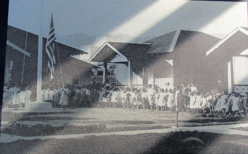
detail picture on marker. This same picture appears on a nearby similar marker called "Breaking Ground with a Vision"
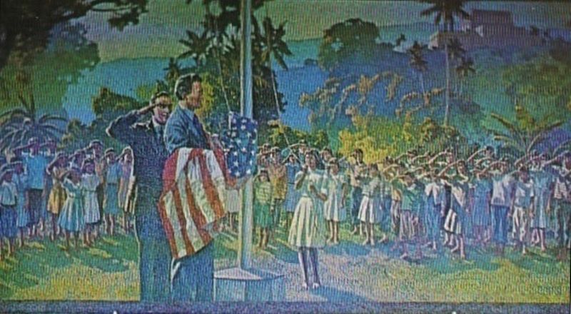
1921
5. Hawaii Flag Ceremony At Laie School 1921
Postcard view of a tile mosaic at entrance to the Church College Of Hawaii.
Credits. This page was last revised on February 10, 2023. It was originally submitted on December 15, 2017, by Rev. Ronald Irick of West Liberty, Ohio. This page has been viewed 707 times since then and 132 times this year. Photos: 1, 2, 3, 4. submitted on December 15, 2017, by Rev. Ronald Irick of West Liberty, Ohio. 5. submitted on December 25, 2017. • Andrew Ruppenstein was the editor who published this page.
