Near Lead in Lawrence County, South Dakota — The American Midwest (Upper Plains)
Civilian Conservation Corps Camp
Photographed by Cosmos Mariner, June 24, 2010
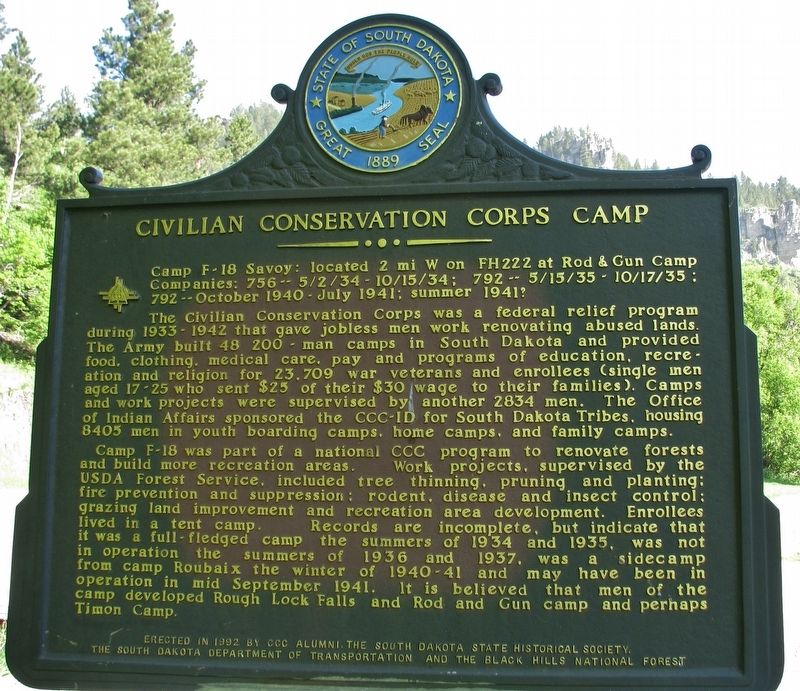
1. Civilian Conservation Corps Camp Marker
The Civilian Conservation Corps was a federal relief program during 1933-1942 that gave jobless men work renovating abused lands. The Army built 48 200 man camps in South Dakota and provided food, clothing, medical care, pay and programs of education, recreation and religion for 23,709 war veterans and enrollees (single men aged 17-25 who sent $25 of their $30 wage to their families). Camps and work projects were supervised by another 2834 men. The Office of Indian Affairs sponsored the CCC-ID for South Dakota Tribes, housing 8405 men in youth boarding camps, home camps, and family camps.
Camp F-18 was part of a national CCC program to renovate forests and build more recreation areas. Work projects, supervised by the USDA Forest Service, included tree thinning, pruning and planting; fire prevention and suppression; rodent, disease and insect control; grazing land improvement and recreation area development. Enrollees lived in a tent
this page online
Erected 1992 by CCC Alumni, South Dakota State Historical Society, South Dakota Departmant of Transportation, and Black Hills National Forest.
Topics and series. This historical marker is listed in this topic list: Charity & Public Work. In addition, it is included in the Civilian Conservation Corps (CCC) series list.
Location. 44° 21.189′ N, 103° 55.886′ W. Marker is near Lead, South Dakota, in Lawrence County. It is on U.S. 14A north of Roughlock Falls Road (County Highway 222), on the right when traveling north. Marker is located at entrance to Latchstring Restaurant parking lot, on the right-hand side as you enter the lot. Touch for map. Marker is at or near this postal address: 21046 US Highway 14A, Lead
Photographed by Cosmos Mariner, June 24, 2010
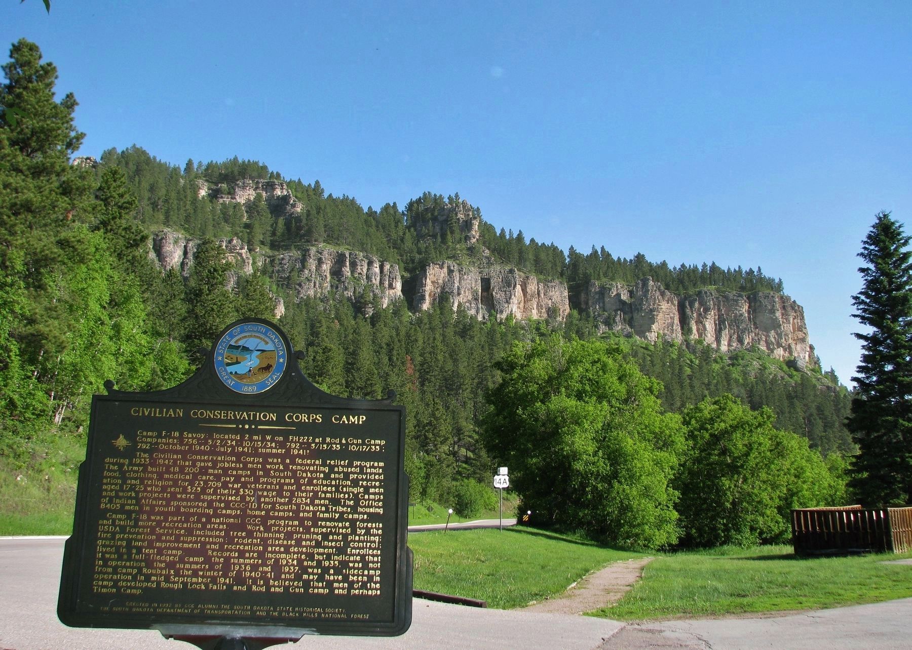
2. Civilian Conservation Corps Camp Marker (wide view north through Spearfish Canyon)

Regionally, this marker is in West River. It is also in the American Black Hills, in the Lewis & Clark Corridor, on the prairies, and on the Northern Plains. Globally, it is in North America, the Western Hemisphere, the Western World, and the Anglosphere. Historically, it finds itself in what was once Rupert’s Land and also the Louisiana Purchase.
Other nearby markers. At least 8 other markers are within 8 miles of this marker, measured as the crow flies: Spearfish Canyon Offers a Story in the Pines (within shouting distance of this marker); Spearfish Canyon Foundation (about 300 feet away, measured in a direct line); Spearfish Canyon Through Time (approx. 1.9 miles away); a different marker also named Spearfish Canyon Through Time (approx. 1.9 miles away); Cheyenne Crossing (approx. 5 miles away); a different marker also named Spearfish Canyon Through Time (approx. 5 miles away); Spearfish Canyon Flora and Fauna (approx. 5 miles away); The Glover House (approx. 7.8 miles away). Touch for a list and map of all markers in Lead.
Related markers. Click here
Photographed by Cosmos Mariner, June 24, 2010
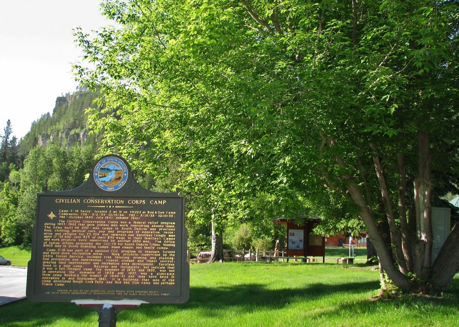
3. Civilian Conservation Corps Camp Marker (wide view south to Roughlock Falls)
Also see . . . Civilian Conservation Corps.
The Civilian Conservation Corps (CCC) was a public work relief program that operated from 1933 to 1942 in the United States for unemployed, unmarried, men from relief families as part of the New Deal. Each CCC camp was located in the area of particular conservation work to be performed and organized around a complement of up to 200 civilian enrollees in a designated numbered "company" unit. The CCC camp was a temporary community in itself, structured to have barracks (initially Army tents) for 50 enrollees each, officer/technical staff quarters, medical dispensary, mess hall, recreation hall, educational building, lavatory and showers, technical/administrative offices, tool room/blacksmith shop and motor pool garages. (Submitted on December 15, 2017, by Cosmos Mariner of Cape Canaveral, Florida.)
Credits. This page was last revised on October 19, 2020. It was originally submitted on December 15, 2017, by Cosmos Mariner of Cape Canaveral, Florida. This page has been viewed 324 times since then and 26 times this year. Photos: 1, 2, 3. submitted on December 15, 2017, by Cosmos Mariner of Cape Canaveral, Florida. • Bill Pfingsten was the editor who published this page.
