St. Augustine in St. Johns County, Florida — The American South (South Atlantic)
Xavier Lopez House
Built 1903
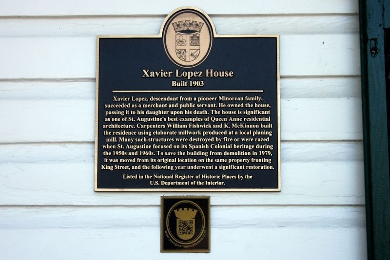
Photographed by Tim Fillmon, October 31, 2017
1. Xavier Lopez House Marker
Erected by City of St. Augustine.
Topics. This historical marker is listed in this topic list: Architecture. A significant historical year for this entry is 1903.
Location. 29° 53.482′ N, 81° 18.935′ W. Marker is in St. Augustine, Florida, in St. Johns County. It can be reached from King Street 0.1 miles east of Martin
this page online

Regionally, this marker is in First Coast and in Greater Jacksonville. It is also in the American South and on the Eastern Seaboard. Globally, it is in the North Atlantic Region, North America, a Gulf of Mexico state, the Western Hemisphere, the Western World, and the Anglosphere. Historically, it finds itself in what was once New Spain, the territory of the Mississippian Culture, one of the Confederate States of America, and the Antebellum South.
Other nearby markers. At least 8 other markers are within walking distance of this marker: Villa Zorayda (within shouting distance of this marker); a different marker also named Villa Zorayda (within shouting distance of this marker); a different marker also named Villa Zorayda (within shouting distance of this marker); Ponce de Leon Hotel (about 400 feet away, measured in
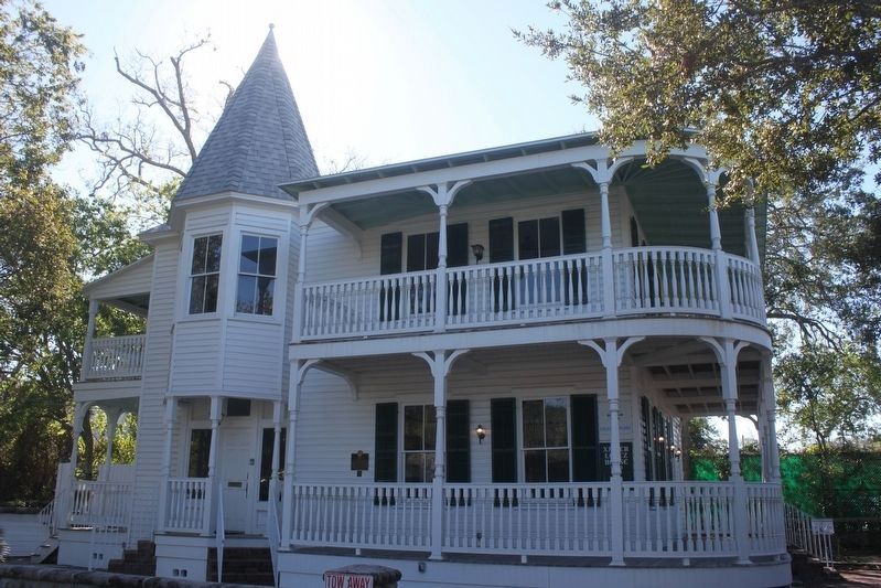
Photographed by Tim Fillmon, October 31, 2017
2. Xavier Lopez House and Marker
Another marker is no longer nearby. The Villa Zorayda Today (was within shouting distance of this marker but has been replaced with another marker now near it).
Also see . . . Xavier Lopez House. (Submitted on December 15, 2017, by Tim Fillmon of Webster, Florida.)
Credits. This page was last revised on January 2, 2019. It was originally submitted on December 15, 2017, by Tim Fillmon of Webster, Florida. This page has been viewed 826 times since then and 27 times this year. Photos: 1, 2. submitted on December 15, 2017, by Tim Fillmon of Webster, Florida. • Bernard Fisher was the editor who published this page.
