Tulsa in Tulsa County, Oklahoma — The American South (West South Central)
Mt. Zion Baptist Church
Tulsa, Oklahoma
| — | "The Church That Faith Built" | — |
Photographed by William Fischer, Jr., September 25, 2017
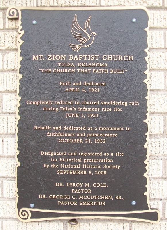
1. Mt. Zion Baptist Church Marker
April 4, 1921
Completely reduced to charred smoldering ruin
during Tulsa's infamous race riot
June 1, 1921
Rebuilt and dedicated as a monument to
faithfulness and perseverance
October 21, 1952
Dedicated and registered as a site
for historical preservation
by the National Historic Society
September 5, 2008
Dr. Leroy M. Cole,
Pastor
Dr. George C. McCutchen, Sr.,
Pastor Emeritus
———————————————
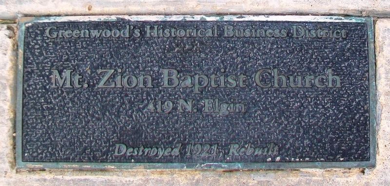
Mt. Zion Baptist Church
419 N. Elgin
Destroyed 1921, Rebuilt
Greenwood's Historical Business District
———————————————
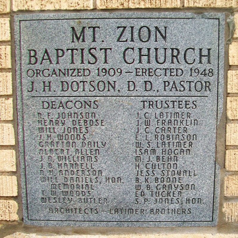
Mt. Zion Baptist Church
Organized 1909 - Erected 1948
J. H. Dotson, D.D., Pastor
Deacons • Trustees
[not transcribed]
Erected by Mt. Zion Baptist Church.
Topics. This historical marker is listed in these topic lists: African Americans • Disasters • Peace • Religion & Religious Structures. A significant historical date for this entry is April 4, 1921.
Location. 36° 9.762′ N, 95° 59.413′ W. Marker is in Tulsa, Oklahoma, in Tulsa County. It is at the intersection of North Elgin Avenue and Easton Street/McCutchens Circle, on the right when traveling north on North
this page online

Regionally, this marker is in the Muscogee Nation, specifically in the Cherokee Nation, and in Northeast Oklahoma—Green Country. It is also in the American South, specifically on the prairies, and on the Southern Plains. Globally, it is in North America, the Western Hemisphere, the Western World, and the Anglosphere. Historically, it finds itself in what was once the territory of the Mississippian Culture and also the Louisiana Purchase.
Other nearby markers. At least 8 other markers are within walking distance of this marker: The Tulsa Race Riot of 1921 (about 500 feet away, measured in a direct line); Tower of Reconciliation and Healing Walkway (about 600 feet away); Booker T. Washington High School (about 700 feet away); John Hope Franklin Reconciliation Park (about 700 feet away); Mabel B. Little Heritage House (approx. 0.2 miles away); Standpipe Hill (approx. 0.2 miles away); 1921 Black Wall Street Memorial / O Greenwood!/Commercial Destruction During 1921 Race War
Photographed by William Fischer, Jr., September 25, 2017
2. Mt. Zion Baptist Church Marker
Also see . . .
1. Tulsa Race Riot. Oklahoma Historical Society website entry (Submitted on December 17, 2017, by William Fischer, Jr. of Reynoldsburg, Ohio.)
2. Mount Zion Baptist Church (Tulsa). Wikipedia entry (Submitted on June 6, 2022, by Larry Gertner of New York, New York.)
Photographed by William Fischer, Jr., September 25, 2017
3. Mt. Zion Baptist Church Date Stone
Photographed by William Fischer, Jr., September 25, 2017
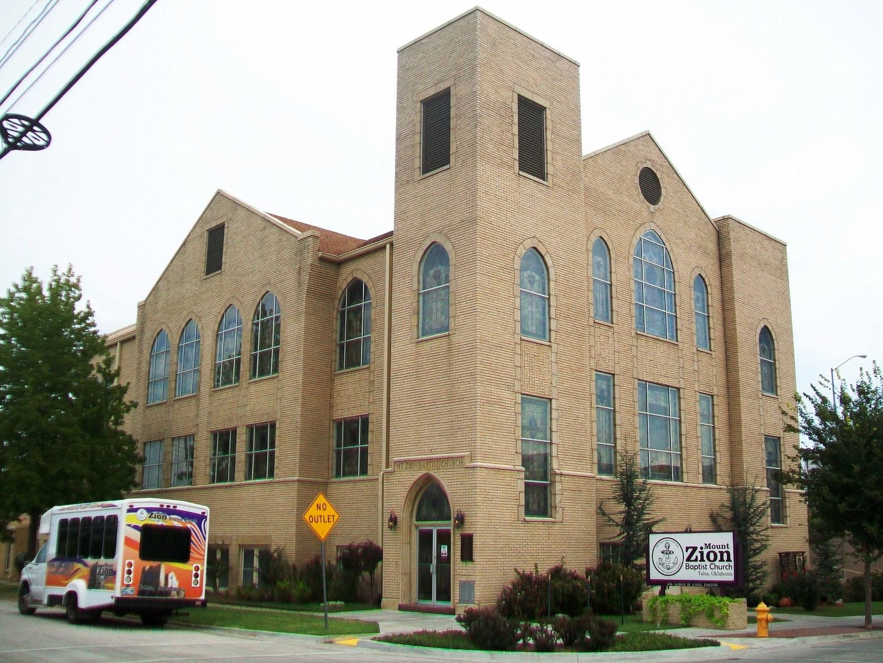
4. Mt. Zion Baptist Church and Markers
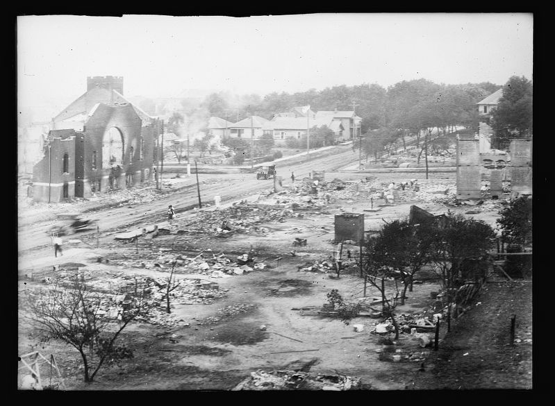
June 1, 1921
5. Part of district burned in race riots, Tulsa, Okla.
What appears to be the Mt. Zion Baptist Church ruins can be seen to the left in this photo. (Courtesy Library of Congress, loc.gov)
Credits. This page was last revised on June 24, 2024. It was originally submitted on December 17, 2017, by William Fischer, Jr. of Reynoldsburg, Ohio. This page has been viewed 1,004 times since then and 63 times this year. Photos: 1, 2, 3, 4. submitted on December 17, 2017, by William Fischer, Jr. of Reynoldsburg, Ohio. 5. submitted on December 17, 2017, by J. Makali Bruton of Washington, District of Columbia.
