Marker Logo
THE HISTORICAL
MARKER DATABASE
“Bite-Size Bits of Local, National, and Global History”
Statesboro in Bulloch County, Georgia — The American South (South Atlantic)
 

Willie McTell Trail
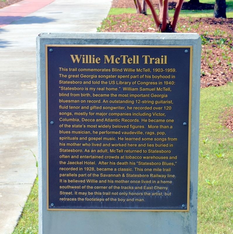
 
 
Willie McTell Trail Marker image. Click for full size.
Photographed by David Seibert, April 11, 2014
1. Willie McTell Trail Marker
Inscription. This trail commemorates Blind Willie McTell, 1903-1959. The great Georgia songster spent part of his boyhoo0d in Statesboro and told the US Library of Congress in 1940: “Statesboro is my real home.” William Samuel McTell, blind from birth, became the most important Georgia bluesman on record. An outstanding 12-string guitarist, fluid tenor and gifted songwriter, he recorded over 120 songs, mostly for major companies including Victor, Columbia, Decca and Atlantic Records. He became one of the state’s most widely beloved figures. More than a blues musician, he performed vaudeville, rags, pop, spirituals and gospel music. He learned some songs from his mother who lived and worked here and lies buried in Statesboro. As an adult, McTell returned to Statesboro often and entertained crowds at tobacco warehouses and the Jaeckel Hotel. After his death his “Statesboro Blues,” recorded in 1928, became a classic. This one mile trail parallels part of the Savannah & Statesboro Railway line. It is believed that Willie and his mother once lived in a home southwest of the corner of the tracks and East Cherry Street.
Paid Advertisement
Click or scan to see
this page online
It may be that this trail not only honors the artist, but retraces the footsteps of the boy and man.
 
Topics. This historical marker is listed in these topic lists: African AmericansArts, Letters, Music.
 
Location. 32° 26.897′ N, 81° 46.822′ W. Marker is in Statesboro, Georgia, in Bulloch County. It is on Railroad Street 0.1 miles north of East Vine Street, on the left when traveling north. The marker stands between the Willie McTell Trail and Railroad Street. Touch for map. Marker is in this post office area: Statesboro GA 30458, United States of America. Touch for directions.

Regionally, this marker is in Georgia’s Coastal Plain. It is also in the American South and specifically in the Deep South. Globally, it is in North America, the Western Hemisphere, the Western World, and the Anglosphere. Historically, it finds itself in what was once the territory of the Mississippian Culture, one of the original Thirteen Colonies, one of the Confederate States of America, and the Antebellum South.

Other nearby markers. At least 8 other markers are within walking distance
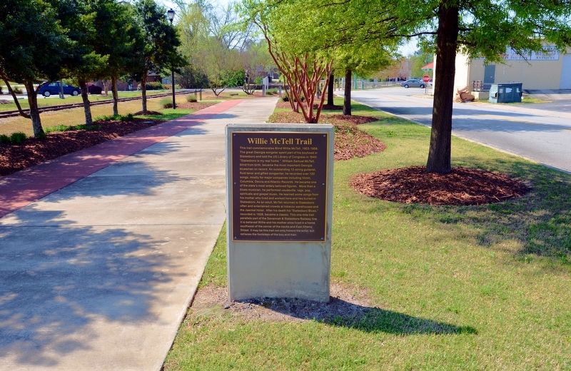
Willie McTell Trail Marker image. Click for full size.
Photographed by David Seibert, April 11, 2014
2. Willie McTell Trail Marker
Railroad Avenue is on the right in the photo.
of this marker: Statesboro, Georgia (within shouting distance of this marker); Revolutionary War Patriots (within shouting distance of this marker); Dover & Statesboro Railroad (within shouting distance of this marker); Statesboro Vietnam Memorial (within shouting distance of this marker); Jaeckel Hotel (about 300 feet away, measured in a direct line); “Flame of Freedom” (about 400 feet away); Mathews Building (about 400 feet away); The Fabulous Fifty of 1906 / The Delegates (about 400 feet away). Touch for a list and map of all markers in Statesboro.
 
Regarding Willie McTell Trail. It is believed that McTell's actual family name was either McTier or McTear. His tombstone, near Thomson, Georgia, gives his birthname as "Willie Samuel McTier."
 
Related marker. Click here for another marker that is related to this marker.
 
Also see . . .
1. More on the Life of Willie McTell. (Submitted on December 18, 2017, by David Seibert of Sandy Springs, Georgia.)
2. Lyrics of Bob Dylan song, "Blind Willie McTell". Dylan's song was covered by The Allman Brothers Band (a band from Macon, Georgia, who also covered "Statesboro

Blind Willie McTell image. Click for full size.
Photographed by Georgia Music Hall of Fame
3. Blind Willie McTell
Blues"), The Band, and Stephen Stills among many others. (Submitted on December 18, 2017, by David Seibert of Sandy Springs, Georgia.) 
 
 
Credits. This page was last revised on December 19, 2017. It was originally submitted on December 18, 2017, by David Seibert of Sandy Springs, Georgia. This page has been viewed 999 times since then and 54 times this year. Photos:   1, 2, 3. submitted on December 18, 2017, by David Seibert of Sandy Springs, Georgia.

m=111681

CeraNet Cloud Computing sponsors the Historical Marker Database.
This website earns income from purchases you make after using our links to Amazon.com. We appreciate your support.
Paid Advertisement
Aug. 2, 2026