Williamsport in Washington County, Maryland — The American Northeast (Mid-Atlantic)
Williamsport
The Beginning and the End
— Gettysburg Campaign —
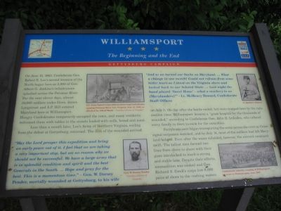
Less than a month later, Lee’s Army of Northern Virginia, reeling from the defeat at Gettysburg, returned. The first of the wounded arrived on July 5, the day after the battle ended, but were trapped here by the rain-swollen river. Williamsport became a “great hospital for the thousands of wounded,” according to Confederate Gen. John B. Imboden, who ordered every family in town to cook for the casualties.
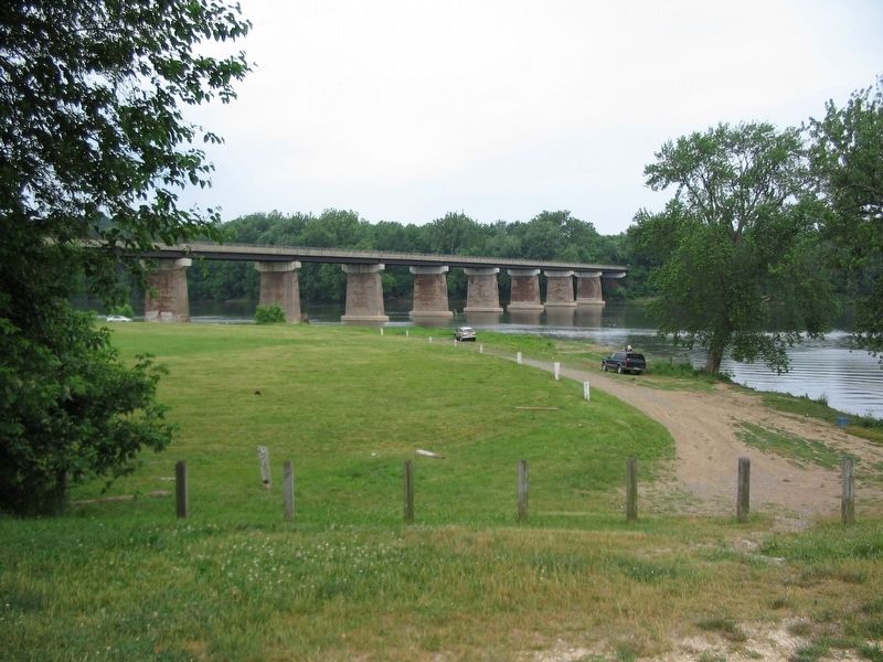
Ferryboats soon began transporting the army across the river as Union signal corpsmen watched, and by July 14, most of the soldiers had left Maryland behind. Even after the water subsided, however, the current remained swift. The tallest men formed two lines from shore to shore with their guns interlocked to mark a strong and stable line. Despite their efforts, ammunition was soaked and Gen. Richard S. Ewell’s corps lost 8,000 pairs of shoes to the rushing waters.
“May the Lord prosper this expedition and bring an early peace out of it. I feel that we are taking a very important step, but see no reason why we should not be successful. We have a large army that is in splendid condition and spirit and the best Generals in the South. … Hope and pray for the best. This is a momentous time.” —Gen. W. Dorsey Pender, mortally wounded at Gettysburg, to his wife.
“And so we turned our backs on Maryland. … What a change in one month! Could not refrain from some bitter tears as I stood on the Virginia shore and looked back to our beloved State. … Last night the band played ‘Sweet Home’ – what a mockery to us [Marylanders]!” —Lt. McHenry Howard, Confederate Staff Officer.
Erected by Maryland Civil War Trails.
Topics and series. This historical marker is listed in this topic list: War, US Civil. In addition, it is included in the Maryland Civil War Trails series list. A significant historical date for this entry is June 15, 1863.
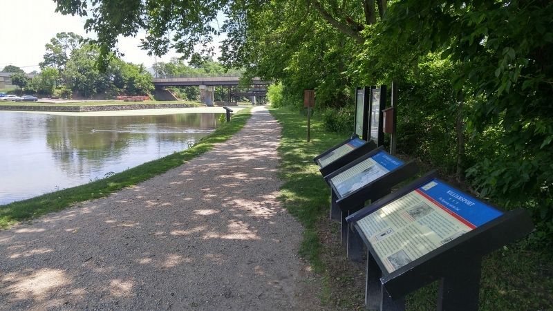
Location. 39° 36.047′ N, 77° 49.658′ W. Marker is in Williamsport, Maryland, in Washington County. Marker is located in the Williamsport section of the Chesapeake & Ohio Canal NP. It is on the banks of the Cushwa turning basin, opposite the warehouse currently
used as the park visitor center. Touch for map. Marker is in this post office area: Williamsport MD 21795, United States of America. Touch for directions.
Other nearby markers. At least 8 other markers are within walking distance of this marker. C & O Canal Aqueduct (here, next to this marker); Gettysburg Campaign (here, next to this marker); Cushwa Basin/Williamsport (here, next to this marker); Life on the Canal (a few steps from this marker); C&O Canal (about 500 feet away, measured in a direct line); a different marker also named Life on the Canal (about 500 feet away); a different marker also named C&O Canal (about 500 feet away); Welcome to Williamsport (about 500 feet away). Touch for a list and map of all markers in Williamsport.
More about this marker. The marker displays photographs of Gen. W. Dorsey Pender and Lt. McHenry Howard next to their quotes. There is a period newspaper drawing captioned, “U.S. Army Signal Corps officers observing Confederates crossing the Potomac River into Virginia, July 12, 1863, as sketched by Alfred Waud.” Another drawing is captioned, “Confederate infantry crossing at Williamsport en route to Pennsylvania, June 1863.
Regarding Williamsport. Nearby is one of the standard Civil War Trails Gettysburg campaign markers which reads:
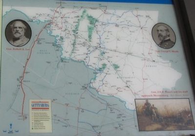
After stunning victories at Fredericksburg and
Chancellorsville, Virginia, early in May 1863, Confederate Gen. Robert E. Lee carried the war through Maryland, across the Mason and Dixon Line and into Pennsylvania. His infantry marched north through the Shenandoah Valley and western Maryland as his cavalry, led by Gen. J.E.B. Stuart, harassed Union supply lines to the east, Union Gen. Joseph Hooker, replaced on Jun 28 by Gen. George G. Meade, led the Army of the Potomac from the Washington defenses in pursuit. The Federals collided with Lee’s Army of Northern Virginia at Gettysburg, Pennsylvania, on July 1, starting a battle neither side had intended to fight there. Three days later, the Confederates began retreating through Maryland, retracing their steps to the Potomac River and crossing into Virginia on July 14.
To follow in their footsteps and to discover their stories, stop by and Welcome Center or local Visitor Center to pick up a Gettysburg: Invasion & Retreat Civil War Trail map-guide. Please drive carefully as you enjoy the history and beauty of Maryland Civil War Trails.
Additional keywords. Maryland Civil War Trails
Credits. This page was last revised on July 15, 2016. It was originally submitted on June 10, 2007, by Craig Swain of Leesburg, Virginia. This page has been viewed 2,989 times since then and 46 times this year. Photos: 1, 2. submitted on June 10, 2007, by Craig Swain of Leesburg, Virginia. 3. submitted on July 15, 2016, by F. Robby of Baltimore, Maryland. 4. submitted on June 10, 2007, by Craig Swain of Leesburg, Virginia. 5, 6. submitted on June 26, 2011, by David Graff of Halifax, Nova Scotia. • J. J. Prats was the editor who published this page.
