Breaux Bridge in St. Martin Parish, Louisiana — The American South (West South Central)
Poché's
Landmarked for the preservation of our Cajun Cuisine
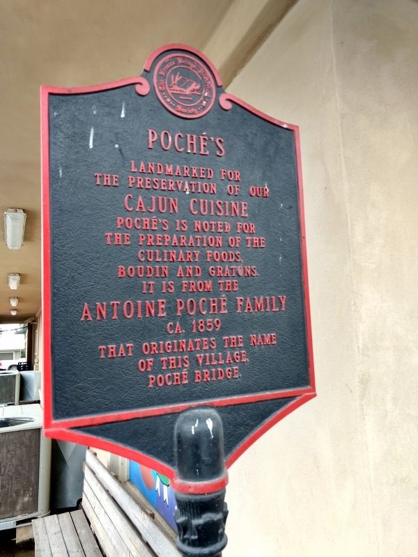
Photographed by Mike Waldon, December 18, 2017
1. Poché's Marker
Erected by The Breaux Bridge Historical Society.
Topics. This historical marker is listed in these topic lists: Industry & Commerce • Settlements & Settlers. A significant historical year for this entry is 1859.
Location. 30° 18.768′ N, 91° 54.239′ W. Marker is in Breaux Bridge, Louisiana, in St. Martin Parish. It is at the intersection of Main Highway (State Highway 31) and Poche Bridge Road, on the left when traveling west on Main Highway. Near the northeast corner of the Poché's Restaurant building in the village of Poché Bridge. Touch for map. Marker is at or near this postal address: 3015 Main Hwy #A Breaux Bridge LA 70517, Breaux Bridge LA 70517, United States of America. Touch for directions.

Regionally, this marker is in Louisiana’s Acadiana — Cajun Country and specifically in Bayou Country. It is also in the American South, specifically in the Deep South, and on the Gulf Coast. Globally, it is in North America, a
this page online
Other nearby markers. At least 8 other markers are within 3 miles of this marker, measured as the crow flies: Welcome to Poché Bridge (within shouting distance of this marker); Mulate's (approx. 2½ miles away); The Bridge of 1852 (approx. 2½ miles away); St. Bernard Church History (approx. 2.6 miles away); Welcome to Breaux Bridge (approx. 2.6 miles away); Legend of Bayou Teche/La Legendè Du Bayou Teche (approx. 2.6 miles away); History of St. Bernard Catholic School (approx. 2.6 miles away); St. Bernard School History (approx. 2.6 miles away). Touch for a list and map of all markers in Breaux Bridge.
Also see . . . Poche's Market, Restaurant & Smokehouse. (Submitted on December 24, 2017.)
Credits. This page was last revised on December 24, 2017. It was originally submitted on December 19, 2017, by Mike Waldon of Lafayette, Louisiana. This page has been viewed 610 times since then and 43 times this year. Photo 1. submitted on December 19, 2017, by Mike Waldon of Lafayette, Louisiana. • Bernard Fisher was the editor who published this page.
