Ira in Scurry County, Texas — The American South (West South Central)
Ira
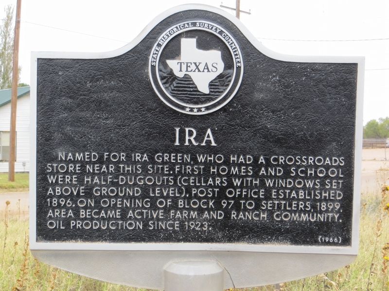
Photographed by Bill Kirchner, November 12, 2017
1. Ira Marker
Erected 1966 by State Historical Survey Committee. (Marker Number 2648.)
Topics. This historical marker is listed in this topic list: Settlements & Settlers. A significant historical year for this entry is 1896.
Location. 32° 34.909′ N, 101° 0.139′ W. Marker is in Ira, Texas, in Scurry County. It is at the intersection of State Highway 350 and Farm to Market Road 1606, on the right when traveling north on State Highway 350. Marker is on southeast corner of intersection. Touch for map. Marker is in this post office area: Ira TX 79527, United States of America. Touch for directions.

Regionally, this marker is in Big Country. It is also on the American Great Plains and specifically on the Southern Plains. Globally, it is in North America, a Gulf of Mexico state, the Western Hemisphere, the Western World, and the Anglosphere.
this page online
Other nearby markers. At least 8 other markers are within 10 miles of this marker, measured as the crow flies: J. J. Moore No. 1 Oil Well (here, next to this marker); Campsite of the Marcy Expedition (approx. 4.3 miles away); Coleman Ranch Field Discovery Well (approx. 6.2 miles away); Site of Town of Cuthbert (approx. 7.1 miles away); Quanah Parker (approx. 8.4 miles away); The Prairie Dog (approx. 9.2 miles away); First Christian Church (approx. 9½ miles away); Handley Cemetery (approx. 9.8 miles away). Touch for a list and map of all markers in Ira.
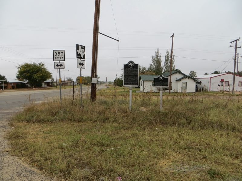
Photographed by Bill Kirchner, November 12, 2017
2. Ira Marker on the right
J. J. Moore No. 1 Oil Well Marker is on the left.
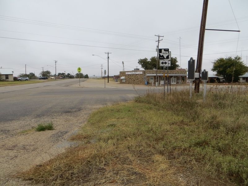
Photographed by Bill Kirchner, November 12, 2017
3. Ira Marker
View north on highway 350.
Credits. This page was last revised on December 21, 2017. It was originally submitted on December 21, 2017, by Bill Kirchner of Tucson, Arizona. This page has been viewed 622 times since then and 40 times this year. Photos: 1, 2, 3. submitted on December 21, 2017, by Bill Kirchner of Tucson, Arizona.
