Near Ira in Scurry County, Texas — The American South (West South Central)
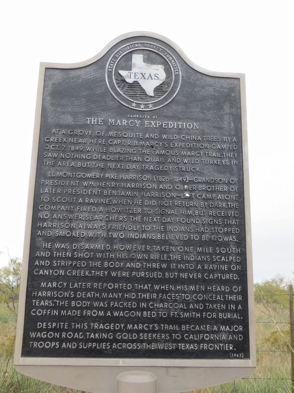
Campsite of the Marcy Expedition
Lt. Montgomery Pike Harrison (1826-1849)--grandson of President Wm. Henry Harrison and older brother of later President Benjamin Harrison--left camp alone to scout a ravine. When he did not return by dark, the company fired a Howitzer to signal him, but received no answer. Searchers the next day found signs that Harrison, always friendly to the Indians, had stopped and smoked with two Indians, believed to be Kiowas.
He was disarmed, however, taken one mile south and then shot with his own rifle. The Indians scalped and stripped the body and threw it into a ravine on Canyon Creek. They were pursued, but never captured.
Marcy later reported that when his men heard of Harrison's death, many hid their faces "to conceal their tears." The body was packed in charcoal and taken in a coffin made from a wagon bed to Ft. Smith for burial.
Despite this tragedy, Marcy's Trail became a major wagon road, taking gold seekers to California and troops and supplies across the West Texas frontier.
Erected 1967 by State Historical Survey Committee. (Marker Number 691.)
Topics and series. This historical marker is listed in this topic list: Exploration. In addition, it is included in the Former U.S. Presidents: #09 William Henry Harrison, and the Former U.S. Presidents: #23 Benjamin Harrison series lists. A significant historical year for this entry is 1849.
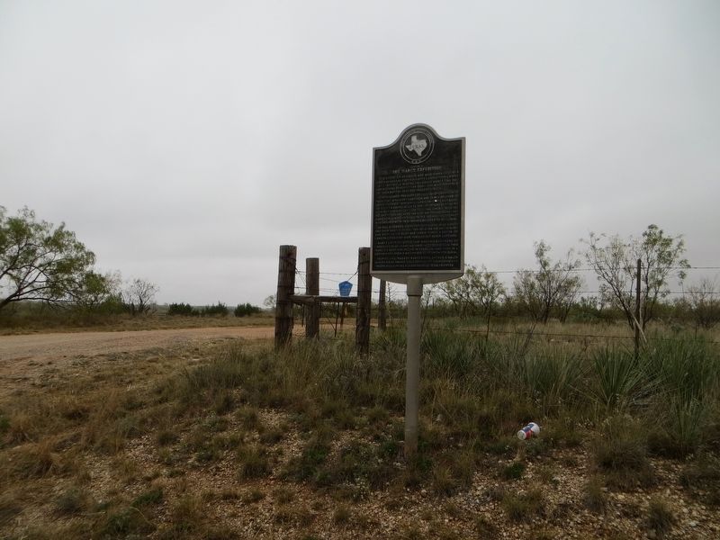
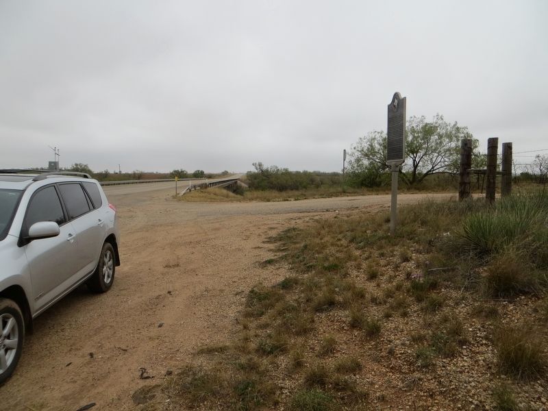
Location. 32° 32.303′ N, 101° 3.338′ W. Marker is near Ira, Texas, in Scurry County. Marker is at the intersection of State Highway 350 and County Highway 3157, on the right when traveling north on State Highway 350. Marker is on the southeast corner. Touch for map. Marker is in this post office area: Ira TX 79527, United States of America. Touch for directions.
Other nearby markers. At least 8 other markers are within 14 miles of this marker, measured as the crow flies. Coleman Ranch Field Discovery Well (approx. 2.6 miles away); Site of Town of Cuthbert (approx. 4.1 miles away); Ira (approx. 4.3 miles away); J. J. Moore No. 1 Oil Well (approx. 4.3 miles away); Handley Cemetery (approx. 7.7 miles away); Quanah Parker (approx. 12.7 miles away); The Prairie Dog (approx. 13.4 miles away); Discovery Well of the Permian Basin (approx. 13˝ miles away). Touch for a list and map of all markers in Ira.
Credits. This page was last revised on December 21, 2017. It was originally submitted on December 21, 2017, by Bill Kirchner of Tucson, Arizona. This page has been viewed 450 times since then and 46 times this year. Photos: 1, 2, 3. submitted on December 21, 2017, by Bill Kirchner of Tucson, Arizona.


