Columbia Heights in Northwest Washington in Washington, District of Columbia — The American Northeast (Mid-Atlantic)
A Changing Landscape
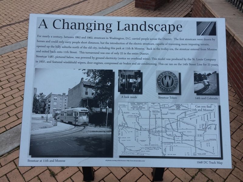
Streetcar 1587, pictured below, was powered by ground electricity, (notice no overhead wires). This model was produced by the St. Louis Company in 1937, and featured windshield wipers, door engines, compressed air brakes and air conditioning. This car ran on the 14th Street Line for 25 years.
Erected by District of Columbia Parks and Recreation.
Topics. This historical marker is listed in this topic list: Railroads & Streetcars. A significant historical year for this entry is 1862.
Location. 38° 55.978′ N, 77° 1.719′ W. Marker is in Northwest Washington in Washington, District of Columbia.
this page online

Regionally, this marker is in the Washington Metropolitan Area. It is also in the American Northeast, in the Upper South, in the Mid-Atlantic, in the Tidewater, and in the Chesapeake Bay Region. Globally, it is in North America, the Western Hemisphere, the Western World, and the Anglosphere.
Other nearby markers. At least 8 other markers are within walking distance of this marker: Park Road Community Church (about 400 feet away, measured in a direct line); Holmead Legacy (about 400 feet away); Transformation. (about 700 feet away); Columbia Heights Green. (about 700 feet away); Washington Parks & People (about 700 feet away); Charles R. Drew and Lenore Robbins Drew (about 800 feet away); Prohibition House (approx. 0.2 miles away); Nob Hill (approx. 0.2 miles away). Touch for a list and map of all markers in Northwest Washington.
Regarding A Changing Landscape. On the grounds
Photographed by Devry Becker Jones (CC0), December 26, 2017
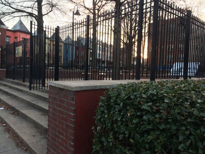
2. The marker is inside the fenced in area of the park.
Related marker. Click here for another marker that is related to this marker.
Photographed by Devry Becker Jones (CC0), December 26, 2017
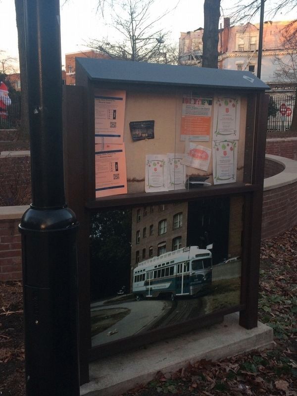
3. Sign in park featuring a photograph of a streetcar below
Credits. This page was last revised on January 30, 2023. It was originally submitted on December 26, 2017, by Devry Becker Jones of Washington, District of Columbia. This page has been viewed 531 times since then and 22 times this year. Photos: 1. submitted on December 26, 2017, by Devry Becker Jones of Washington, District of Columbia. 2. submitted on January 7, 2018, by Devry Becker Jones of Washington, District of Columbia. 3. submitted on January 12, 2018, by Devry Becker Jones of Washington, District of Columbia. • Bill Pfingsten was the editor who published this page.
