Cherokee in Swain County, North Carolina — The American South (South Atlantic)
Mingus Mill
Great Smoky Mountains National Park
Photographed by Tom Bosse, November 6, 2021
1. Mingus Mill Marker
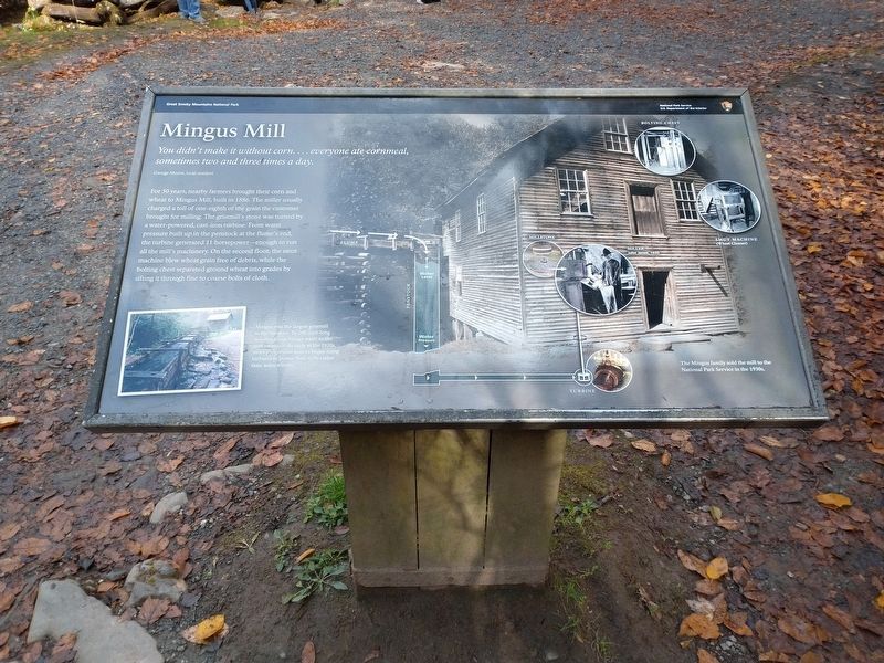
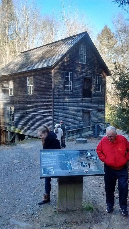
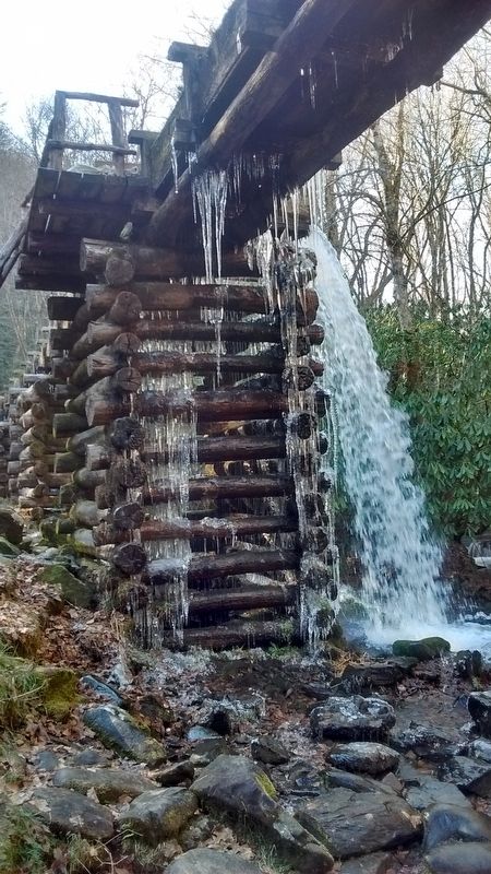
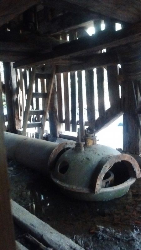
For 50 years, nearby farmers brought their corn and wheat to Mingus Mill, built in 1886. The miller usually charged a toll of one-eighth of the grain the customer brought for milling. The gristmill's stone was turned by a water-powered, cast-iron turbine. From water pressure built up in the penstock at the flume's end, the turbine generated 11 horsepower—enough to run all the mill's machinery. On the second floor, the smut machine blew wheat grain free of debris, while the bolting chest separated ground wheat into grades by sifting it through fine to coarse bolts of cloth.
(captions)
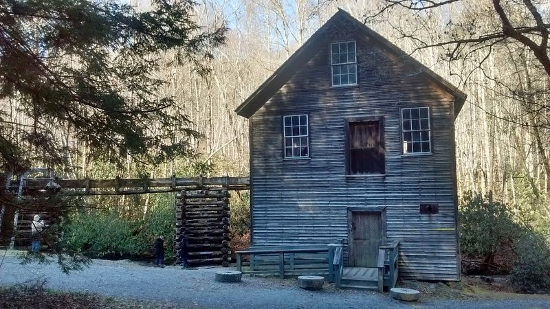
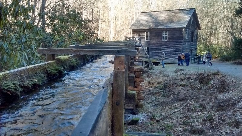
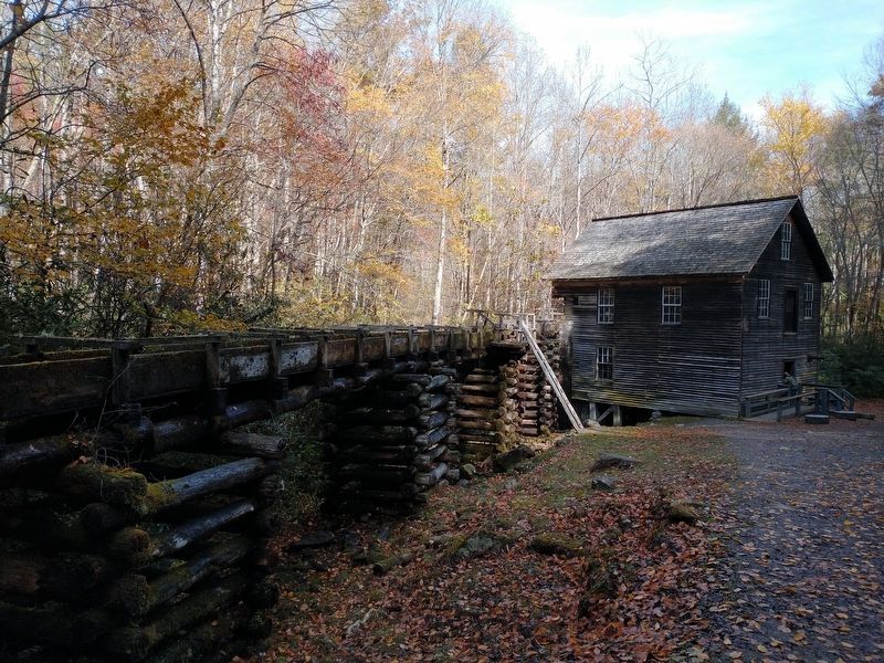
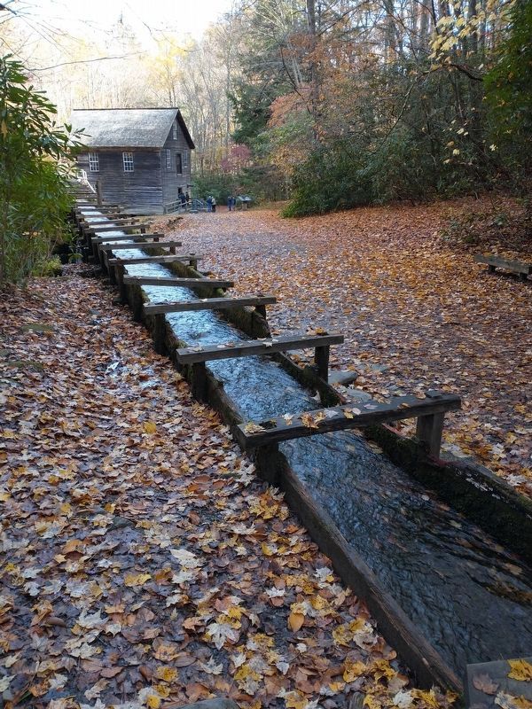
Mingus was the largest gristmill in the Smokies. Its 200-foot-long wooden flume brings water to the mill's turbine. As early as the 1820s, more progressive millers began using turbines to power their mills rather than waterwheels.
The Mingus family sold the mill to the National Park Service in the 1930s.
Erected by National Park Service, U.S. Department of the Interior.
Topics. This historical
this page online
Location. 35° 31.208′ N, 83° 18.59′ W. Marker is in Cherokee, North Carolina, in Swain County. It can be reached from U.S. 441 1.4 miles north of Blue Ridge Parkway, on the left when traveling north. Located along the Mingus Creek Trail. Touch for map. Marker is in this post office area: Cherokee NC 28719, United States of America. Touch for directions.

Regionally, this marker is in the Mountains and specifically in the Great Smoky Mountains. It is also in the American South, specifically in the Upper South, in Appalachia, and specifically in Southern Appalachia. Globally, it is in North America, the Western Hemisphere, the Western World, and the Anglosphere. Historically, it finds itself in what was once the original Cherokee Nation, the territory of the Mississippian Culture, one of the original Thirteen Colonies, one of the Confederate States of America, and the Antebellum South.
Other nearby markers. At least 8 other markers are within walking distance of this marker: A different marker also named Mingus Mill
Photographed by Tom Bosse, December 28, 2017
2. Mingus Mill Marker
Also see . . . Oconaluftee Mountain Farm Museum and Mingus Mill. My Smoky Mountain Guide website entry (Submitted on July 12, 2024, by Larry Gertner of New York, New York.)
Photographed by Tom Bosse, December 28, 2017
3. Mingus Mill
Photographed by Tom Bosse, December 28, 2017
4. Mingus Mill
Photographed by Tom Bosse, December 28, 2017
5. Mingus Mill
Photographed by Tom Bosse, December 28, 2017
6. Mingus Mill Turbine
Photographed by Tom Bosse, November 6, 2021
7. Mingus Mill Marker
Photographed by Tom Bosse, November 6, 2021
8. Mingus Mill Marker
Credits. This page was last revised on July 12, 2024. It was originally submitted on December 28, 2017, by Tom Bosse of Jefferson City, Tennessee. This page has been viewed 592 times since then and 44 times this year. Photos: 1. submitted on January 17, 2022, by Tom Bosse of Jefferson City, Tennessee. 2, 3, 4, 5, 6. submitted on December 28, 2017, by Tom Bosse of Jefferson City, Tennessee. 7, 8. submitted on January 17, 2022, by Tom Bosse of Jefferson City, Tennessee. • Bernard Fisher was the editor who published this page.
