Mokapu in Kailua in Honolulu County, Hawaii — Hawaiian Island Archipelago (Pacific Ocean)
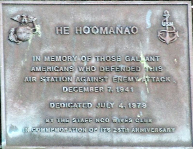
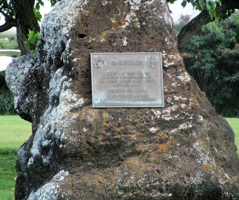
He Ho‘Omana‘o
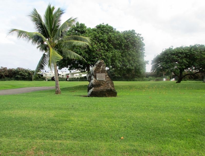
Marine Air Field
Erected 1979 by Staff NCO Wives Club.
Topics. This memorial is listed in these topic lists: Air & Space • War, World II.
Location. 21° 26.182′ N, 157° 45.39′ W. Marker is in Kailua, Hawaii, in Honolulu County. It is in Mokapu. Memorial is on G Street (Intrastate H 3 ) John A. Burns Frwy, on the right when traveling north. Marker is just beyond the guard house at Marine Corps Base Hawaii. Touch for map. Marker is at or near this postal address: 1637 G St, Kailua HI 96734, United States of America. Touch for directions.
Other nearby markers. At least 8 other markers are within 11 miles of this marker, measured as the crow flies. Pohakuloa Amtrac Memorial (about 500 feet away, measured in a direct line); Nuuanu Pali Lookout (approx. 5.3 miles away); Pali Road – From Trail to Highway (approx. 5.3 miles away); Battle of Nu’uanu – Uniting the Islands (approx. 5.3 miles away); Pali Road (approx. 5.3 miles away); The Honolulu Memorial at the National Memorial Cemetery of the Pacific (approx. 10.3 miles away); Wolphin Kekaimalu (approx. 10.4 miles away); Father Damien (approx. 11 miles away).
Credits. This page was last revised on February 10, 2023. It was originally submitted on December 29, 2017, by Rev. Ronald Irick of West Liberty, Ohio. This page has been viewed 219 times since then and 24 times this year. Photos: 1, 2, 3. submitted on December 29, 2017, by Rev. Ronald Irick of West Liberty, Ohio. • Bill Pfingsten was the editor who published this page.


