Near The Dalles in Wasco County, Oregon — The American West (Northwest)
The Lewis and Clark Expedition
Photographed by Barry Swackhamer, July 1, 2017
1. The Lewis and Clark Expedition Marker
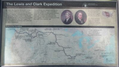
Captions: (upper right) The United States purchased the Louisiana territory -- ore that 83,000 square miles -- from France in 1803. President Jefferson selected Meriwether Lewis (far left) to lead an expedition there.
With Jefferson's permission Lewis asked his friend and former commanding officer William Clark (left) to be co-leader. Although opposite in temperament, the worked harmoniously throughout the two-year journey.; (map, across the bottom) Route of the Expedition (with annotations) (Click on image to enlarge the map.)
With Jefferson's permission Lewis asked his friend and former commanding officer William Clark (left) to be co-leader. Although opposite in temperament, the worked harmoniously throughout the two-year journey.; (map, across the bottom) Route of the Expedition (with annotations) (Click on image to enlarge the map.)
The landscape has changed since Lewis and Clark explored it: rivers have been dammed, forests cut over, prairies plowed under, and roads built to the horizon. Although remnants of wilderness still exist, imagine this land as Lewis and Clark first saw it two centuries ago.
Topics and series. This historical marker is listed in this topic list: Exploration. In addition, it is included in the Former U.S. Presidents: #03 Thomas Jefferson, and the Lewis & Clark Expedition series lists.
Location. 45° 39.032′ N, 120° 57.656′ W. Marker is near The Dalles, Oregon, in Wasco County. It can be reached from Oregon Route 206 near Interstate 84, on the right when traveling west. This marker is located in Celilo Park
this page online

Regionally, this marker is in the Columbia River Gorge. It is also on the American Pacific Coast, in the Pacific Northwest, and in the Lewis & Clark Corridor. Globally, it is in North America, in the Cascade Range, on the Pacific Rim, in the Western Hemisphere, in the Western World, and in the Anglosphere.
Other nearby markers. At least 8 other markers are within walking distance of this marker: Greatest Indian Fishery of the Northwest (a few steps from this marker); Ancient Indian Fishing Grounds (within shouting distance of this marker); Celilo Falls Fishing Grounds (about 400 feet away, measured in a direct line); Class P-2 Engine No. 2507 (approx. 0.6 miles away in Washington); Great Falls of the Columbia (approx. 0.9 miles away in Washington); Wyam (approx. 0.9 miles away in Washington); Celilo Falls (approx. 0.9 miles away in Washington); View of Mount Jefferson (approx. 0.9 miles away in Washington). Touch for a list and map
Photographed by Barry Swackhamer, July 1, 2017
2. The Lewis and Clark Expedition Marker
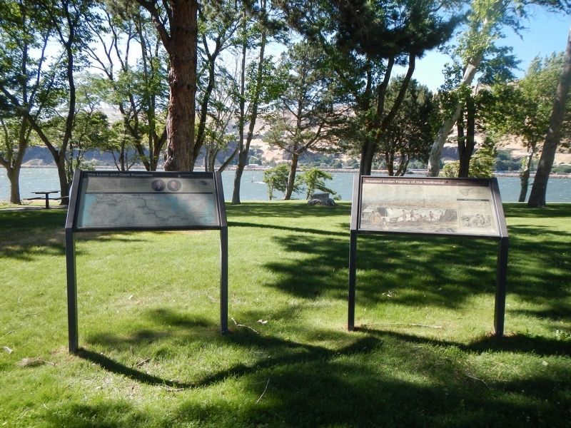
The marker is on the left.
Credits. This page was last revised on December 29, 2017. It was originally submitted on December 29, 2017, by Barry Swackhamer of Brentwood, California. This page has been viewed 388 times since then and 34 times this year. Photos: 1, 2. submitted on December 29, 2017, by Barry Swackhamer of Brentwood, California.
