Mobridge in Walworth County, South Dakota — The American Midwest (Upper Plains)
Mobridge Bridge
1924
Photographed by Ruth VanSteenwyk, April 29, 2017
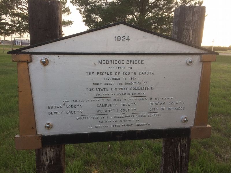
1. Mobridge Bridge Marker
1924
Mobridge Bridge
Dedicated to
The People of South Dakota
November 12, 1924
Built under the Direction of
The State Highway Commission
Governor W.H. McMaster - Chairman
Made possible by loans to the State of South Dakota by the following :
Brown County
Campbell County
Corson County
Dewey County
Walworth County
City of Mobridge
Constructed by the Minneapolis Bridge Company
Designed and supervised by J.E. Kirkham. State Bridge Engineer.
Topics. This historical marker is listed in this topic list: Bridges & Viaducts.
Location. 45° 33.037′ N, 100° 27.038′ W. Marker is in Mobridge, South Dakota, in Walworth County. It can be reached from Grand Crossing Blvd. W 0.1 miles 20th Street W. Marker is located at the Klein Museum. Touch for map. Marker is at or near this postal address: 1820 West Grand Crossing, Mobridge SD 57601, United States of America. Touch for directions.

Regionally, this marker is on the Cheyenne River Reservation and in East River. It is also in the American Lewis & Clark Corridor, on the prairies, and on the Northern
this page online
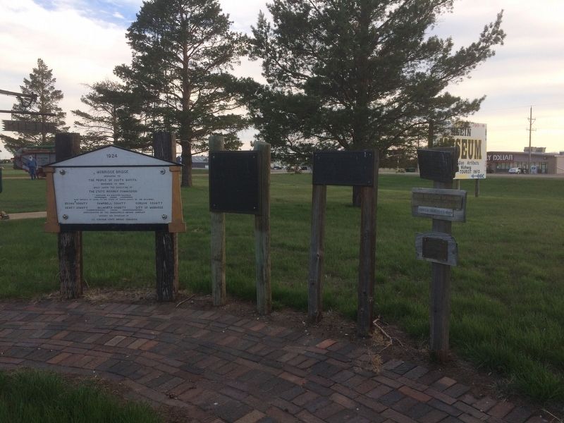
Other nearby markers. At least 8 other markers are within walking distance of this marker: "Fool Soldier Band" (here, next to this marker); Ensign Nathaniel Pryor (a few steps from this marker); Lewis & Clark (a few steps from this marker); Pierre Choteau (a few steps from this marker); "MO.Bridge" (approx. 0.4 miles away); History Beneath the Waters (approx. 0.4 miles away); River of Hardship (approx. half a mile away); Lewis & Clark meet the Arikaras (approx. half a mile away). Touch for a list and map of all markers in Mobridge.
Photographed by Ruth VanSteenwyk, April 29, 2017
2. Mobridge Bridge Marker
Credits. This page was last revised on January 2, 2018. It was originally submitted on January 1, 2018, by Ruth VanSteenwyk of Aberdeen, South Dakota. This page has been viewed 586 times since then and 31 times this year. Last updated on January 1, 2018, by Ruth VanSteenwyk of Aberdeen, South Dakota. Photos: 1, 2. submitted on January 1, 2018, by Ruth VanSteenwyk of Aberdeen, South Dakota. • Bill Pfingsten was the editor who published this page.
