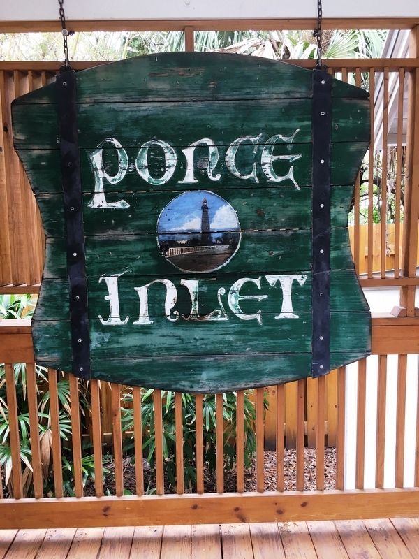
Ponce Inlet in Volusia County, Florida — The American South (South Atlantic)
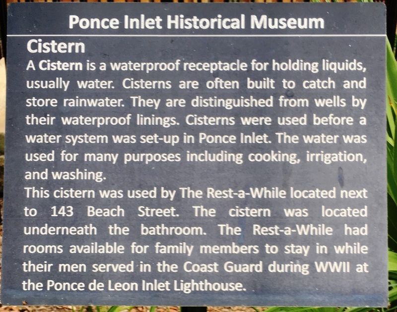
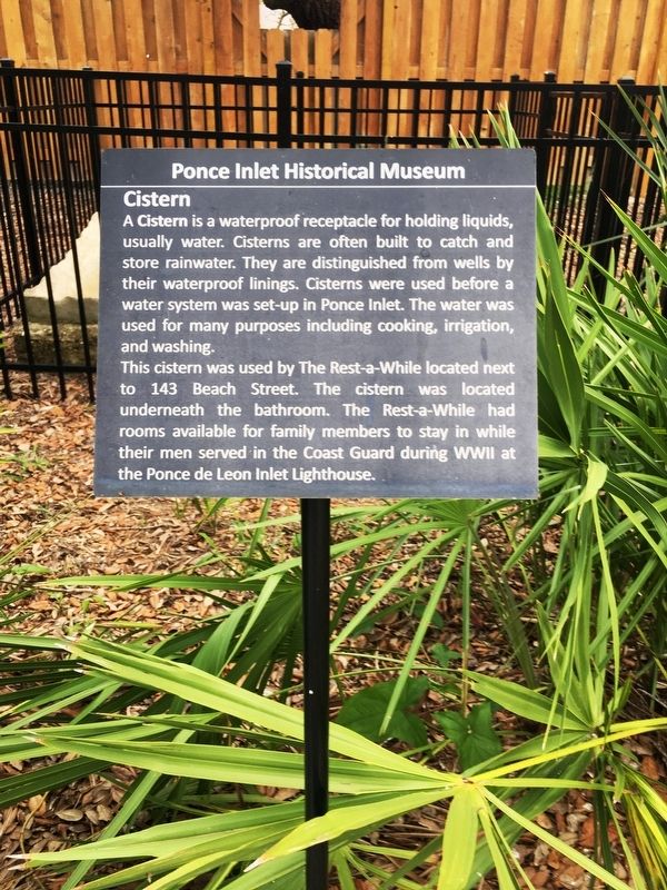
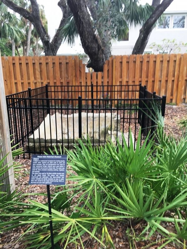
Cistern
Ponce Inlet Historical Museum
This cistern was used by The Rest-a-While located next to 143 Beach Street. The cistern was located underneath the bathroom. The Rest-a-While had rooms available for family members to stay in while their men served in the Coast Guard during WW II at the Ponce Inlet Lighthouse.
Erected 2011 by City of Ponce Inlet.
Topics. This historical marker is listed in these topic lists: Settlements & Settlers • War, World II.
Location. 29° 4.943′ N, 80° 56.019′ W. Marker is in Ponce Inlet, Florida, in Volusia County. Marker is on Beach Street, 0.1 miles west of Front Street, on the left when traveling west. Touch for map. Marker is at or near this postal address: 143 Beach St, Port Orange FL 32127, United States of America. Touch for directions.
Other nearby markers. At least 8 other markers are within walking distance of this marker. Meyer-Davis House (a few steps from this marker); 143 Beach Street (within shouting distance of this marker); Hasty Cottage Post Office (within shouting distance of this marker); Pacetti Cemetery (approx. ¼ mile away); Ponce de Leon Inlet Lighthouse (approx. 0.3 miles away); Cuban Rafts (approx. 0.3 miles away); Oil Storage House (approx. 0.3 miles away); Kedge Anchor (approx. 0.3 miles away). Touch for a list and map of all markers in Ponce Inlet.
Credits. This page was last revised on January 2, 2018. It was originally submitted on January 1, 2018, by Brandon D Cross of Flagler Beach, Florida. This page has been viewed 143 times since then and 6 times this year. Photos: 1, 2, 3, 4, 5. submitted on January 1, 2018, by Brandon D Cross of Flagler Beach, Florida. • Bernard Fisher was the editor who published this page.
